The best drone for mapping is the configuration that repeatedly produces the contracted surface, image, point cloud, or model at the required accuracy and turnaround under the site’s real terrain, access, vegetation, and weather. A brand ranking cannot make that decision for every project.
Table of Contents
- Start With the Mapping Deliverable
- Translate Surface and Accuracy Into a Sensor Method
- Choose the Airframe for Terrain and Access
- Design Positioning, Control, and Checkpoints Together
- Compare Survey Drone Price Through Field Economics
- Evaluate Workflow, Governance, and Support
- Select the Winner With a Proof Project
- FAQs
Start With the Mapping Deliverable
Name the final product and its use: an orthomosaic for visual inventory, surface model for quantities, classified point cloud for terrain, corridor model for engineering, façade model for condition review, or repeat survey for change detection. State coordinate reference, units, resolution, accuracy class, coverage, completeness, file formats, metadata, and delivery deadline.
Accuracy is not a synonym for small ground sample distance. Image scale, geometry, calibration, control, checkpoints, surface texture, vegetation, processing, and coordinate transformation all affect the result. The current ASPRS Positional Accuracy Standards provide a stronger procurement vocabulary than an unsupported “survey-grade” label.
ASPRS Edition 2 Version 2 added guidance for photogrammetry, lidar, UAS, and other methods, as described in the 2024 adoption announcement. Select the applicable standard and acceptance approach with the responsible mapping professional; do not assume one accuracy claim fits every surface and confidence model.
Translate Surface and Accuracy Into a Sensor Method
Photogrammetry uses overlapping images and benefits from visible texture, stable exposure, suitable geometry, and surfaces that can be observed from multiple positions. Lidar measures range and can be valuable where a point-cloud specification, vegetation conditions, or low-texture geometry makes imagery alone unsuitable. Neither method is automatically superior.
Define the smallest feature, vertical surface, vegetation condition, shadow, reflectivity, water, repetitive pattern, and change that matters. Then specify sensor, lens or scan pattern, altitude, overlap or point density, incidence angle, calibration, and control appropriate to those conditions.
| Deliverable | Likely collection starting point | Critical validation |
|---|---|---|
| Orthomosaic inventory | Calibrated RGB imagery with planned overlap | Seam, occlusion, scale and independent position checks |
| Bare-earth terrain in vegetation | Lidar plus suitable trajectory solution | Classification, density, voids and checkpoints by surface |
| Stockpile or earthwork volume | Images or lidar with full boundary coverage | Surface completeness and repeatable control |
| Linear corridor model | Efficient forward flight with cross-track geometry | Strip consistency, control distribution and gaps |
| Close 3D asset model | Oblique multiview imagery or close-range lidar | Occlusion, scale, surface detail and topology |
The LiDAR versus photogrammetry guide covers method tradeoffs in depth. Choose that method first; then choose the aircraft that can carry and position it safely.
Choose the Airframe for Terrain and Access
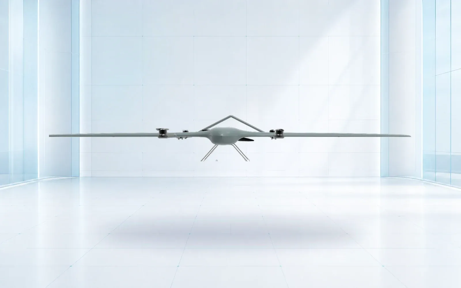
Large, open blocks and long corridors tend to reward fixed-wing or VTOL fixed-wing efficiency. Compact sites, vertical structures, irregular boundaries, repeated takeoffs, and close oblique work tend to reward multirotor control. Mountainous terrain may value efficient climb and terrain following, but it also increases link, wind, alternate-landing, and access demands.
Calculate production with turns, climb, transit, takeoff, landing, reserve, battery change, target revisit, and rejected data. A coverage figure based on straight, level flight in ideal weather is not a field-day prediction.
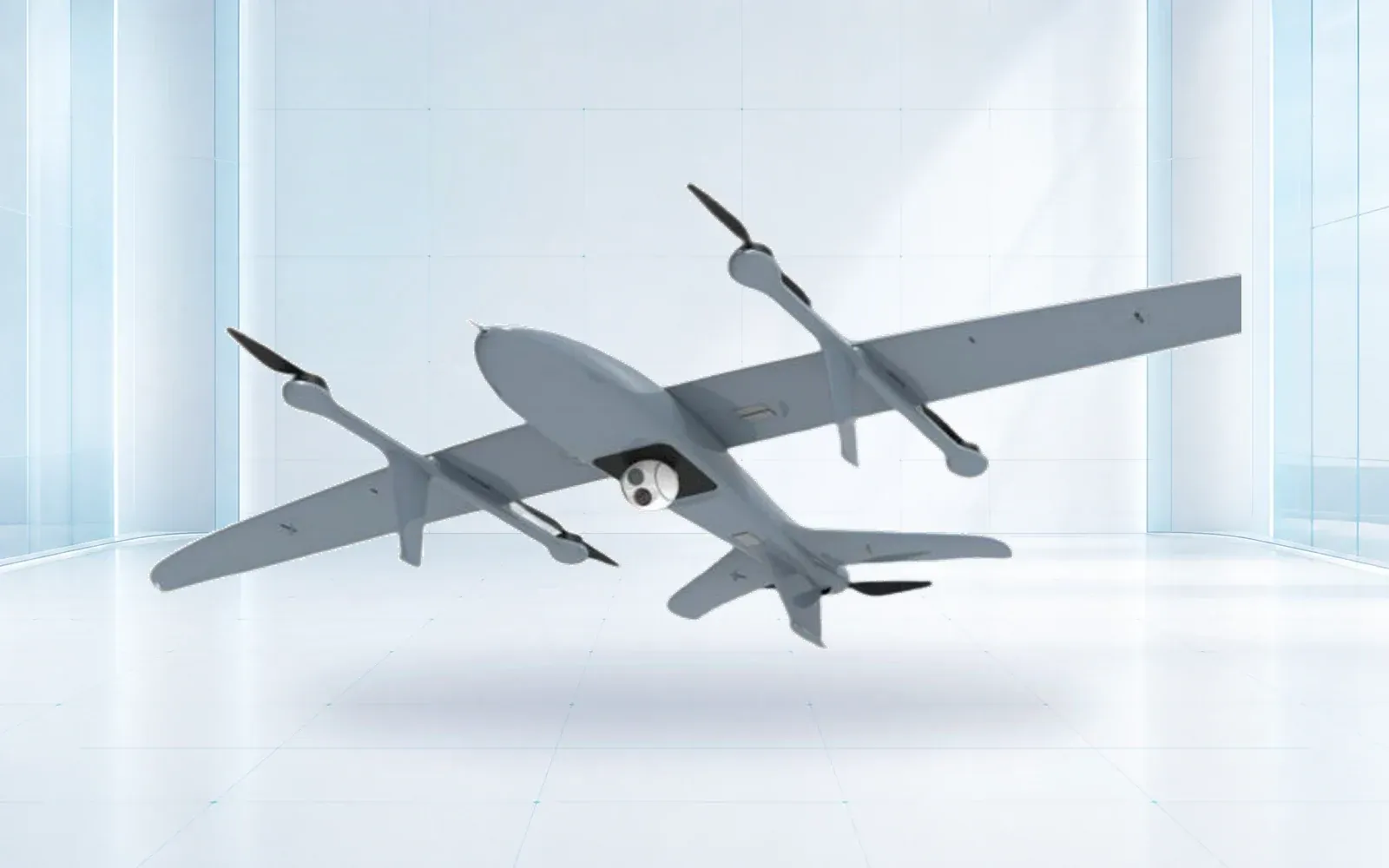
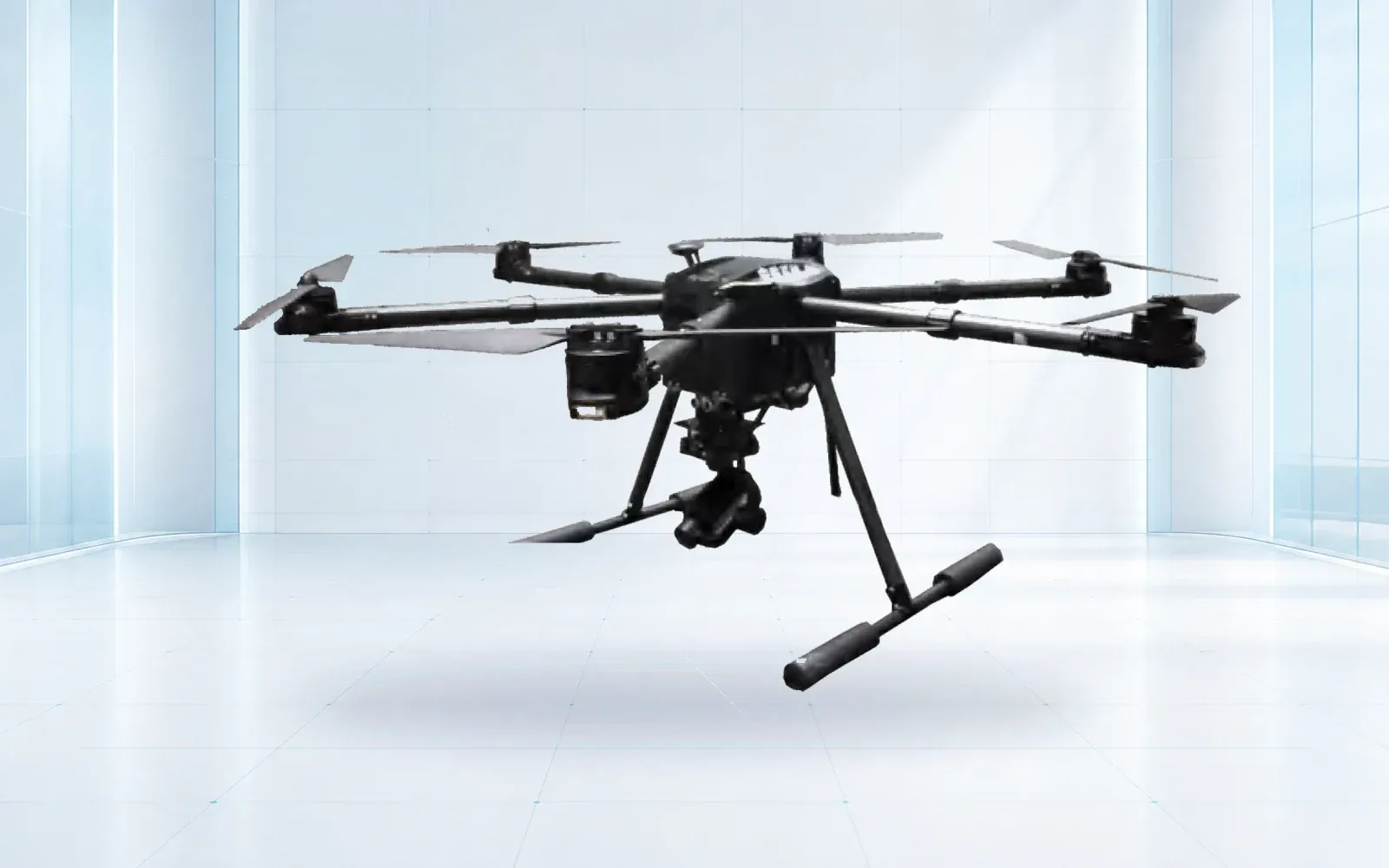
The ZJ-G25 VTOL survey UAV is a reference for larger-area work, while the F4 multirotor is a reference for closer or more confined collection. Verify either with the installed payload and proof project; portfolio position is not acceptance evidence.
Design Positioning, Control, and Checkpoints Together
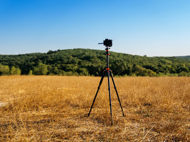
RTK can provide corrections during collection; PPK applies corrections after flight. Both can support accurate camera or sensor trajectories when antenna offsets, timing, base data, satellite geometry, processing, and coordinate systems are controlled. The RTK versus PPK guide explains operational differences.
Ground control constrains the solution; checkpoints test it independently. Do not use the same point as both without an approved method. Distribute checkpoints across the project’s horizontal extent, elevation range, surface types, and likely weak geometry, and preserve survey method and uncertainty.
Require an unambiguous coordinate and geoid workflow. Many expensive mapping errors come from a correct-looking model in the wrong datum, vertical reference, units, or transformation. The aircraft cannot repair an uncontrolled reference frame after delivery.
Compare Survey Drone Price Through Field Economics
Price the complete mapping system: aircraft, sensor, lens or scanner, mount, navigation, base or correction service, targets, batteries, charger, ground station, software, compute, storage, training, calibration, spares, support, and acceptance. Note per-user, per-project, per-area, and cloud-processing fees.
Model field and office time separately. Include planning, control placement, collection, reflight, upload, processing, QA, editing, classification, export, archive, and client revision. A faster aircraft can lose its advantage if data transfer, processing, or manual cleanup becomes the bottleneck.
Compare cost per accepted hectare, kilometer, or asset in low, expected, and difficult conditions. Include mobilization and weather loss. The “best” system should have a visible operating envelope and a predictable failure or escalation path, not just the lowest nominal unit price.
Evaluate Workflow, Governance, and Support
Request sample raw data and deliverables from a comparable surface. Confirm file access, metadata, calibration records, quality reports, coordinate export, API or GIS integration, offline needs, data location, retention, roles, and the ability to reproduce a product after software updates.
Review cybersecurity and project confidentiality, especially for critical infrastructure. Map who can upload, process, annotate, export, and delete data. Retain original observations and processing settings needed to audit the final product.
For U.S. commercial operations, use the FAA’s commercial operator guidance for the actual mission and airspace. Flight legality and mapping-profession requirements are separate questions; buyers should confirm both in the relevant jurisdiction.
Select the Winner With a Proof Project
Fly each shortlisted configuration over representative terrain, surface cover, elevation, obstacles, and control conditions. Use the intended crew and normal processing workflow. Include areas expected to be difficult, not only a flat, textured demonstration field.
Score coverage completeness, independent checkpoint results, artifacts, classification or editing workload, file usability, field time, processing time, reflight, battery use, software friction, and support response. Record results by surface and condition so a strong average cannot hide a mission-critical weakness.
Contract the configuration and validated workflow together. Retest after material changes to aircraft, payload, calibration, positioning, processing software, or deliverable specification.
Review the industrial UAV portfolio, precision agriculture and mapping context, and technical resources, then contact OMNI UXV with the deliverable, accuracy class, terrain, area, annual workload, and proof-project dataset.
FAQs
Is a fixed-wing or multirotor drone better for mapping?
Fixed-wing or VTOL fixed-wing platforms often suit large areas and corridors, while multirotors suit compact, obstructed, high-detail, or hover-dependent work. Compare accepted output per field day on representative terrain.
Does a mapping drone always need LiDAR?
No. Photogrammetry can be the appropriate method for visible, textured surfaces; lidar may be needed for vegetation penetration, geometry, or a specified point-cloud product. The deliverable and validation plan should decide.
Can RTK or PPK eliminate checkpoints?
Direct georeferencing can reduce ground-control needs, but independent checkpoints remain important for testing delivered accuracy unless the governing specification provides another accepted validation method.
How should a survey drone be tested before purchase?
Run a proof project over representative surfaces and elevation, process the normal workflow, and evaluate completeness, independent checkpoint residuals, artifacts, rework, field time, processing time, and deliverable acceptance.