RTK and PPK describe when GNSS corrections are applied, not whether a finished drone survey is accurate enough to use. Choose between them by the reliability of the correction link, the raw observations you can retain, the coordinate reference required by the client and the independent checks available on the ground.
Table of Contents
Start with the Deliverable, Not the Correction Label
A quarry manager may need stockpile volumes that remain comparable from month to month. A design engineer may need terrain tied to an established project datum. Both can use drone surveys, but their acceptance questions differ. Before specifying RTK or PPK, identify the deliverable, the surface being measured, the allowable uncertainty and the decisions that will depend on it.
Distinguish three things: the estimated position of the GNSS antenna, the position and orientation assigned to an exposure, and the accuracy of the reconstructed surface. A reassuring number on the flight controller describes only part of that chain. Camera calibration, image geometry, surface texture and processing choices can still affect the final model.
Write the horizontal reference, height system, units and project extent into the brief. Ask who will independently check the output and where safe access for those checks exists. This is more useful than asking a supplier to promise an unspecified “survey-grade” result.
What RTK and PPK Actually Change
RTK uses reference information during the operation to estimate corrected positions in real time. PPK uses recorded observations and reference data after acquisition. A system may support both, but that capability must be confirmed for the actual receiver, camera interface and processing software.
The practical difference is when the team can evaluate the positioning solution and what evidence survives the flight. RTK provides immediate status, while PPK allows the positioning record to be processed later. Neither approach removes the need to collect suitable observations.
| Workflow | Main dependency | Useful field capability | What must survive the flight |
|---|---|---|---|
| RTK | A usable correction service or base link and sound reference coordinates | Operator can monitor correction status during acquisition | Position-quality log, exposure records and configuration |
| PPK | Compatible rover observations, reference observations and event timing | Data can be collected without a continuous correction link | Raw observations, reference data, event records and processing settings |
| RTK with PPK fallback | Both workflows are supported and tested together | Immediate status plus an independent recovery option | The complete PPK input set, not merely corrected geotags |
In its Drone2Map 2026.1 documentation, Esri distinguishes RTK image metadata from externally processed PPK metadata. It also notes that Drone2Map interprets the PPK output; it does not calculate the underlying PPK corrections. That distinction matters when a proposal lists software without identifying who produces the corrected exposure positions.
A fallback must be demonstrated
Do not accept “PPK-ready” as a recovery plan without a sample dataset. Have the supplier show that exposure identifiers match the corrected records, that the required reference data can be obtained and that another trained operator can repeat the process. Discovering an incompatible file format after a remote deployment is an avoidable project risk.
Choose by Failure Mode and Field Constraints
A reliable correction connection can make RTK attractive when crews need rapid field feedback and an established workflow. PPK may suit sites where correction connectivity is intermittent, provided the observation and post-processing chain is dependable. A combined workflow can be valuable, but brings more files and more configuration to control.
Loss of the correction link is not the same as loss of satellite observations. PPK may help with the first; it cannot recreate measurements that were never recorded. Obstructed sky, multipath near structures, poor reference data or an incorrectly measured antenna height can affect either approach.
Consider a hypothetical corridor survey where the flight remains within its separately authorized operating envelope but passes through areas of weak correction connectivity. The decision should turn on retained observation quality and the demonstrated fallback, not on whether the controller briefly displayed a fixed solution. After processing, check the affected sections rather than treating the flight as uniformly good or bad.
The commercial comparison should include base setup, correction subscriptions, survey control, processing licenses, staff time, reflight access and the cost of an unusable deliverable. A lower aircraft price can be outweighed by a workflow that cannot be reproduced by the people who will operate it.
Keep Checkpoints Independent
Control points influence the adjustment; checkpoints test the result without being used to make it fit. Keep those roles explicit in both the processing configuration and the final report. Small residuals at control points alone do not demonstrate accuracy throughout a project.
Choose check locations that represent the terrain and intended use. A set clustered beside the launch area says little about a distant boundary, steep face or different surface type. Where access prevents direct checking, identify that limitation and agree on another defensible method before promising a uniform accuracy class.
The USGS update to its accuracy standards records changes associated with the second edition of the ASPRS standards, including treatment of checkpoint survey uncertainty. It also documents changed reporting terminology. State the edition and assessment method required by the contract instead of combining a current claim with an old reporting template.
Report the tested area, excluded observations and reasons for exclusions. If a checkpoint is discovered to be disturbed, retain that history. Quietly removing an inconvenient residual makes the report harder to defend.
Freeze the Coordinate and Processing Record
A consistent offset may be a reference problem rather than a camera or GNSS problem. Confirm whether the image heights are ellipsoidal or orthometric, what reference coordinates were assigned to the base, and which transformation and geoid model were applied. Check units as carefully as the datum name.
A reproducible handover should identify:
- Aircraft, receiver, camera, firmware and acquisition date.
- Reference source, base coordinates, antenna setup and observation interval.
- Exposure-event mapping and positioning-quality flags.
- Horizontal and vertical coordinate references, relevant epoch and transformations.
- Processing software, version, calibration choices and adjustment settings.
- Control/checkpoint roles, assessment results and coverage exceptions.
Retain raw data separately from processed outputs. A revised reference solution should produce a new version of the deliverable, not silently replace the only copy. Record whether an update changes coordinates, classification, surface construction or only presentation.
For the sensor choice itself, the LiDAR versus photogrammetry comparison addresses a different question: which observations can represent the required surface. RTK or PPK cannot make a camera see ground hidden by continuous foliage.
Accept a Survey Workflow Before Buying a Fleet
Use a representative pilot area that includes the difficult conditions, not just an open demonstration field. Agree on deliverables and acceptance checks before acquisition. Review the result with the person who will use the model and the person responsible for its accuracy.
A useful trial includes a documented normal run, a supported fallback exercise and a handover to a second operator. Confirm how the team identifies unsuitable exposures, reports incomplete coverage and decides whether a reflight is necessary. The outcome should be a repeatable process with explicit limits.
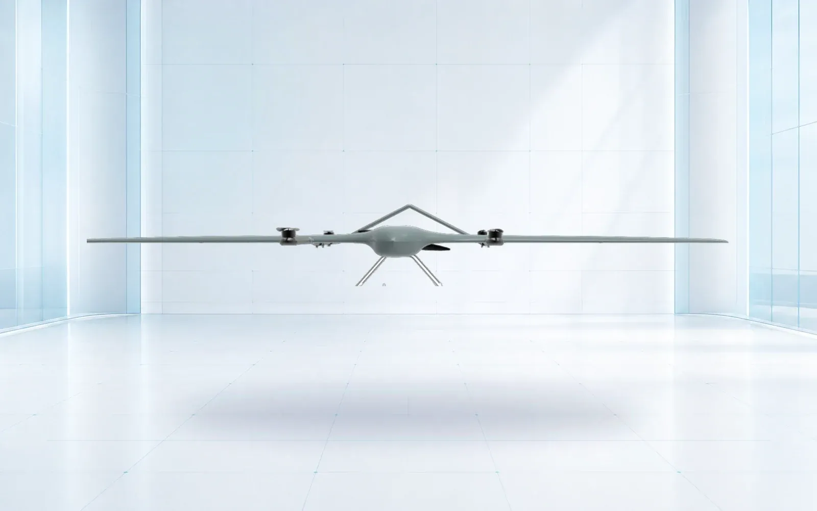
The industrial UAV category includes platforms such as the ZJ-G25 survey UAV. Treat the airframe as one candidate in the acquisition chain; verify the exact receiver, payload and correction configuration rather than assuming them from the model name. The datasheet review guide covers broader aircraft questions, while critical-infrastructure planning connects the survey to operational use.
Keep the equipment schedule alongside the product catalog and the survey specification. To review an RTK/PPK workflow, send OMNI UXV the deliverable, site geometry, reference system and acceptance criteria.
FAQs
Is PPK always more accurate than RTK for drone surveying?
No. Either workflow can produce a good or poor survey. The result also depends on reference coordinates, satellite observations, camera timing, calibration, processing and independent checkpoints. PPK offers another way to process observations, not an automatic accuracy upgrade.
Can an RTK drone survey be delivered without ground control points?
Some projects can use accurately positioned images without control points in the adjustment. Independent checkpoints are still needed to demonstrate the accuracy of the final product. The applicable specification determines the required survey and assessment method.
Can a failed RTK flight be repaired using PPK?
Only if compatible raw observations, reference data and exposure-event records were captured with sufficient quality and timing. A folder of ordinary image geotags is not a substitute for the observation data required by the chosen PPK workflow.
What should be included in a drone survey handover?
Provide the agreed mapping products, coordinate and height references, acquisition and processing records, independent accuracy report, coverage exceptions and the data needed to reproduce the positioning solution. Identify control points separately from checkpoints.