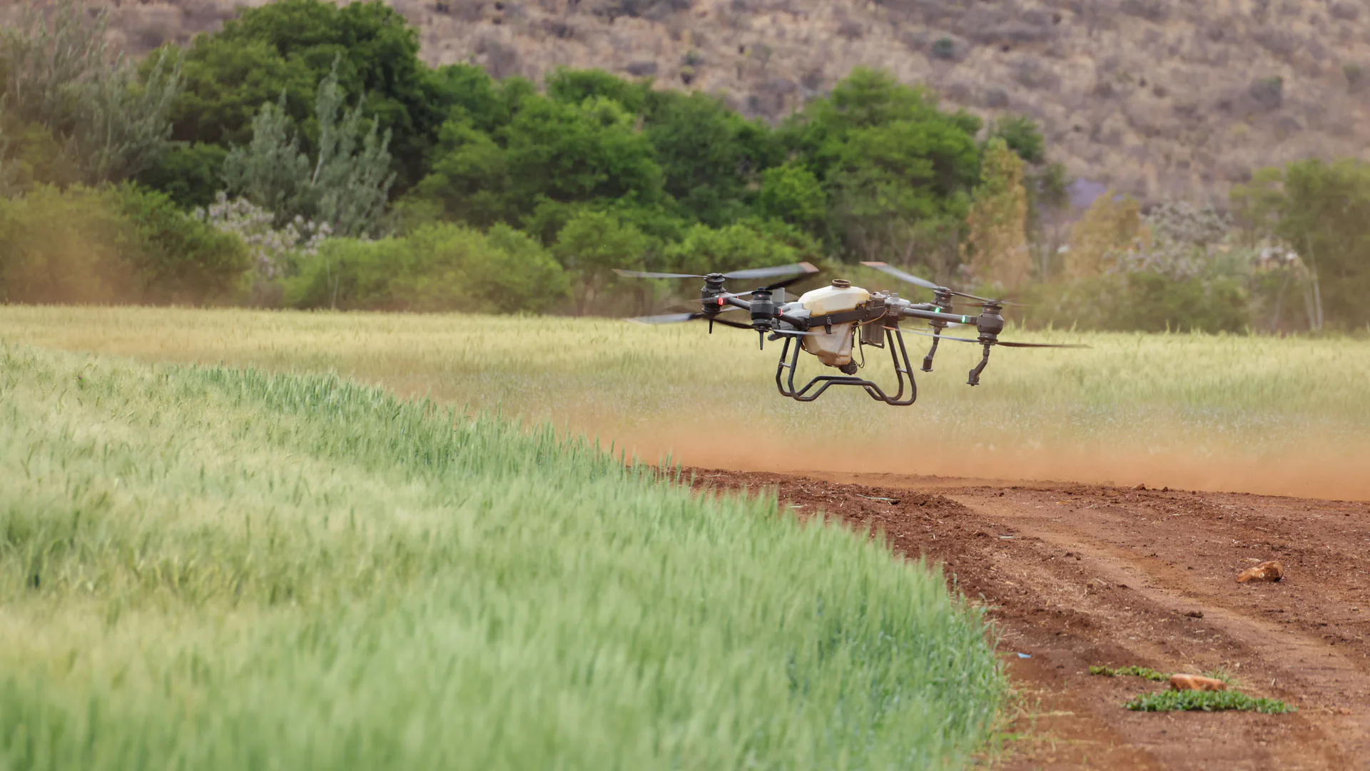
A crop monitoring drone should be purchased as a repeatable agronomic measurement workflow, not as an aircraft with an impressive camera. The useful specification begins with the field decision, then defines the sensor, calibration, ground truth, acreage rate, deliverable, and evidence required for acceptance.
Table of Contents
- Start With the Agronomic Decision, Not NDVI
- Choose RGB, Multispectral, Thermal, or a Combined Payload
- Match Aircraft and Field Logistics to the Acreage
- Specify Calibration, Ground Truth, and Repeatability
- Define the Deliverable and Data Ownership
- Compare Bids With a Field Acceptance Trial
- Build a Scalable Crop-Monitoring Program
- FAQs
Start With the Agronomic Decision, Not NDVI
A crop monitoring drone collects repeatable, georeferenced observations that help a farm team decide where and when to inspect or act. It can reveal spatial patterns and change, but an RGB, multispectral or thermal map does not diagnose the biological cause on its own. The useful workflow connects aerial evidence to sampled field observations and a decision deadline.
Define the action the flight is meant to support. Finding missed emergence early enough to replant, directing a scout to a stressed zone, comparing treatment plots, measuring lodging after a storm, and documenting drainage do not require the same sensor or revisit interval. A specification that begins with “capture NDVI” describes an output, not a decision.
Write the decision unit in operational terms: field or management zone, minimum anomaly size, latest useful delivery time, revisit interval, location tolerance, and who will verify an alert. State the economic consequence of a late or false alert. That gives vendors a basis for sizing the aircraft, camera, processing method and field crew.
Vegetation indices are evidence of relative spectral response, not a diagnosis. Soil background, canopy geometry, sun angle, growth stage and calibration can change the result. A crop monitoring workflow should therefore preserve raw observations, processing settings and field notes rather than deliver only a colored map.
Choose RGB, Multispectral, Thermal, or a Combined Payload
High-resolution RGB can document emergence, gaps, lodging, weeds and visible canopy differences. It is inexpensive, easy to review and often easier to explain to an agronomist. A 2025 USDA Agricultural Research Service study found that less-expensive RGB imagery could be practical for the evaluated soybean weed-mapping task; that does not make RGB universally superior, but it is a useful reminder to buy for the decision rather than the sensor label.
A multispectral camera adds defined bands used for indices and longitudinal comparisons. Ask for band centers, bandwidth, radiometric workflow, panel and irradiance-sensor support, triggering, positioning and sample calibrated outputs. Thermal may help investigate irrigation or canopy-temperature patterns, but temperature accuracy depends on emissivity, atmosphere, viewing angle, resolution and acquisition time.
| Field decision | Useful starting payload | Required supporting evidence | Common purchasing mistake |
|---|---|---|---|
| Emergence or stand gaps | High-resolution RGB | Counts from sampled rows | Buying spectral bands before defining minimum plant size |
| Weed scouting | RGB or multispectral | Georeferenced field labels by species or class | Treating every anomalous pixel as a weed |
| Relative crop vigor | Calibrated multispectral | Panels, illumination record and field observations | Comparing maps made with different processing defaults |
| Irrigation investigation | Thermal plus RGB context | Weather, surface checks and irrigation records | Interpreting apparent temperature as root-zone moisture |
| Storm or lodging assessment | RGB, sometimes oblique | Sampled severity and accessible field checks | Optimizing only for nadir mapping |
Require the payload to produce the evidence needed by the agronomic workflow. Avoid a shopping list that assumes more bands automatically create a better decision.
Match Aircraft and Field Logistics to the Acreage
Before buying, compare ownership with a service or hybrid model. This decision often matters more than the airframe:
| Operating model | Usually fits when | Evidence to request before commitment |
|---|---|---|
| In-house system | Flights are frequent, timing is critical and trained staff can own calibration and data QA | Seasonal workload, crew hours, authorization, processing capacity and full lifecycle cost |
| Specialist service | Demand is intermittent or the farm needs a defined deliverable rather than flight operations | Sample deliverable, turnaround, ground-truth method, data rights and reflight terms |
| Hybrid program | Farm staff define and verify agronomic decisions while a provider collects or processes data | Responsibility map for planning, calibration, field samples, review, storage and correction |
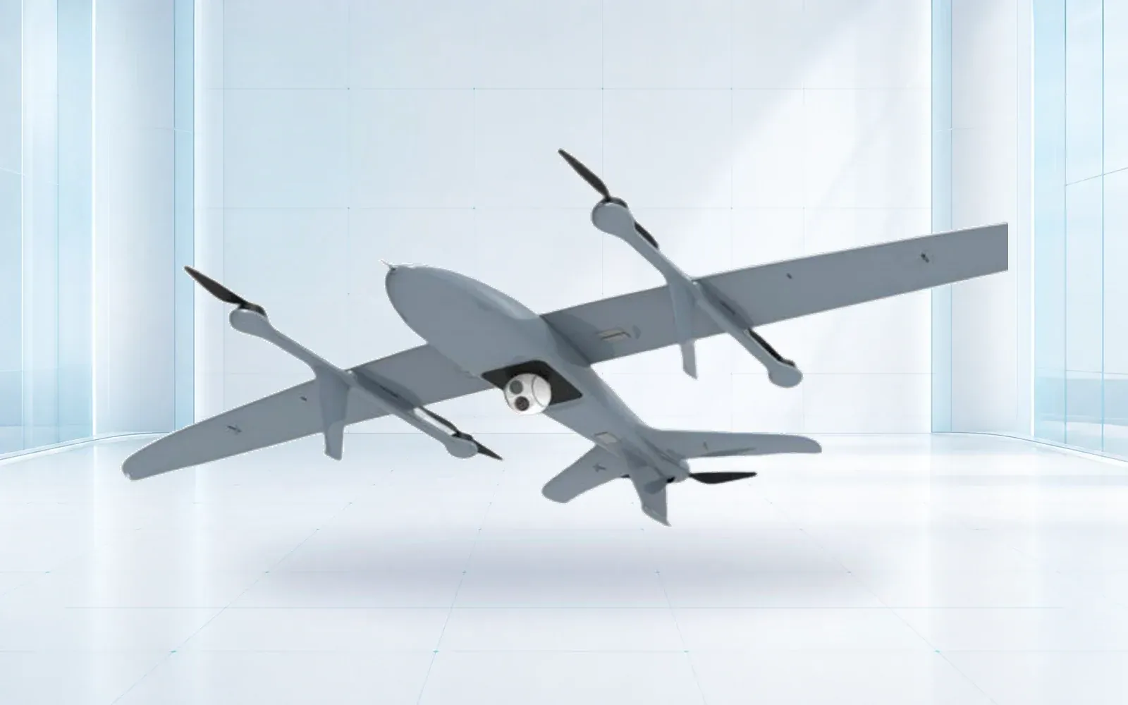
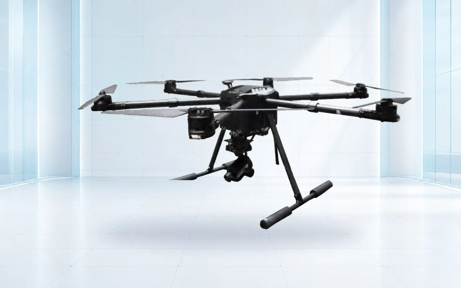
Aircraft choice follows area, launch access, required ground sampling distance, wind, terrain, payload mass and the number of field moves. A VTOL aircraft can reduce relocation on larger blocks while retaining compact launch and recovery. A multirotor can be efficient for smaller fields, oblique views and close inspection. Compare usable coverage with reserve under the installed payload, not an empty-airframe endurance figure.
When a fixed-wing vertical-lift architecture reaches the shortlist, use the VTOL procurement and acceptance guide to verify installed-payload performance, supplier evidence and representative missions rather than selecting on brochure endurance.
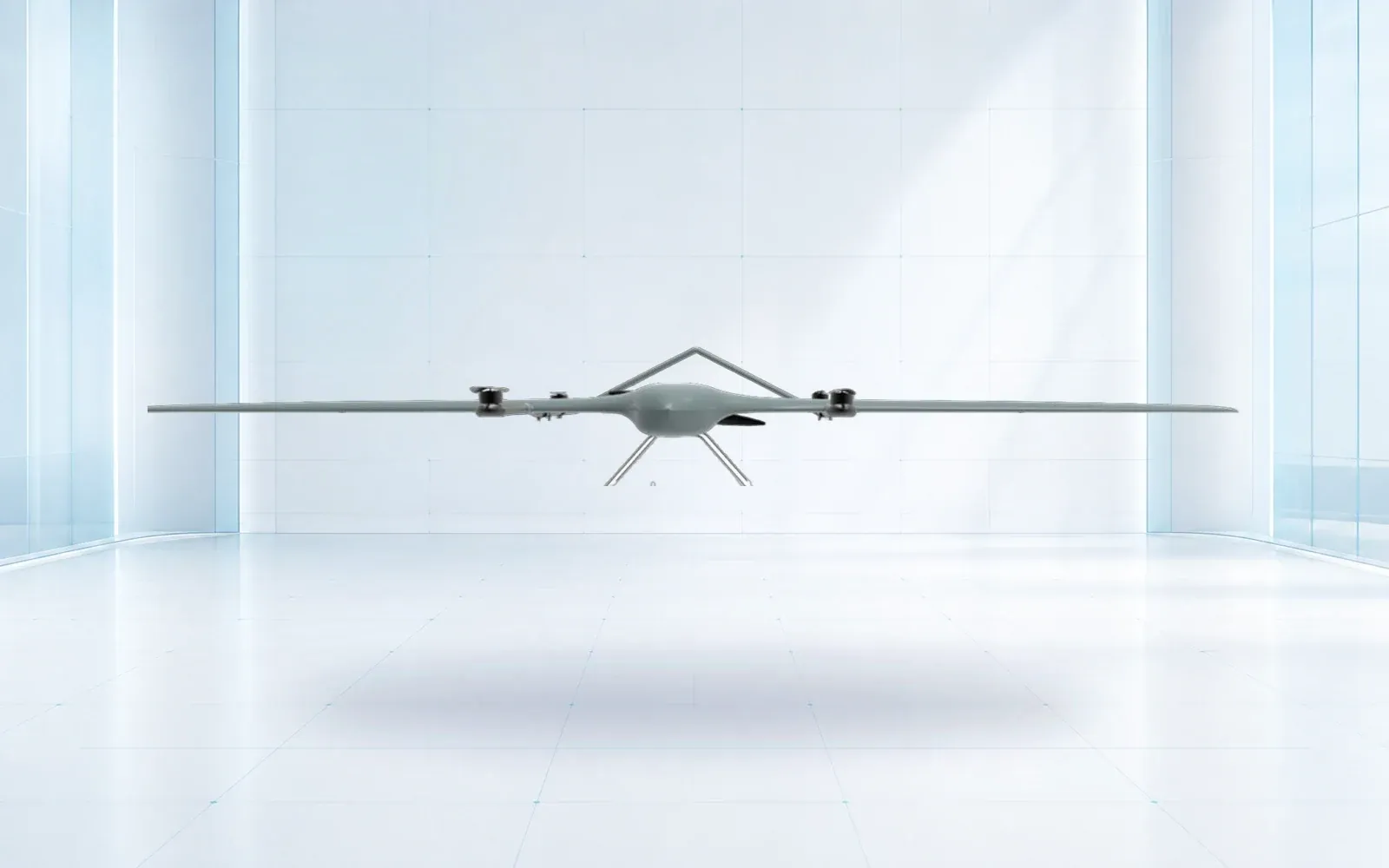
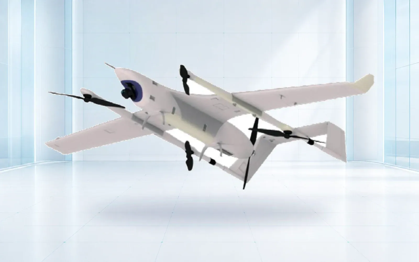
The ZJ-G25 VTOL and Dragonfly 3500 tilt-rotor are reference configurations for wider-area collection. The F4 waterproof multirotor represents closer observation in demanding field conditions. Payload integration, local rules and actual environmental limits must be confirmed for the delivered version.
In the United States, the FAA Part 107 overview is a starting point for small-UAS operations, not a promise that every planned field can be flown as proposed. Airspace, visual line of sight, operations over people or moving vehicles, and other conditions need mission-specific review.
Specify Calibration, Ground Truth, and Repeatability
For repeat monitoring, control what can change between flights. The acquisition record should include date and time, aircraft and sensor identifiers, firmware, lens and focus state, altitude, overlap, speed, illumination, wind, calibration images and deviations. A processing record should identify software version, settings, coordinate reference system and any manual edits.
Ground truth must be sampled to answer the decision. A few convenient roadside photographs may not represent a large field. Define the number and distribution of samples, observation method, time window relative to flight, person responsible and how disagreements are resolved. Hold back some observations from model tuning when testing classification performance.
Repeatability matters more than a single attractive mosaic. Fly at least one repeated block under a controlled plan and compare geometry, radiometry, detected zones and processing time. The buyer should know whether a change comes from the crop or from a changed workflow.
Define the Deliverable and Data Ownership
Specify deliverables as files and decisions: raw imagery, calibrated reflectance products, orthomosaic, surface model, index layers, zone polygons, observation report, uncertainty flags and a field-ready task list. Name the coordinate system, resolution, attribute fields, file formats, naming convention and delivery deadline.
Clarify who owns raw and processed data, where it is hosted, how long it is retained, whether it trains third-party models, and how the buyer exports a complete record. Document offline operation and the procedure when upload connectivity is limited. Software cost should be normalized to the operating model—per acre, dataset, user, device or annual subscription—and include reprocessing and archival access.

The existing precision-agriculture UAV data-quality guide develops the governance side in more detail. This article keeps the purchasing boundary: the quote must include everything needed to produce an accepted deliverable.
Compare Bids With a Field Acceptance Trial
Use a representative field rather than a manicured demonstration plot. Include the crop stage, canopy variability, field size, access constraints and illumination conditions expected in service. Seed several known observations or use independently surveyed locations. The vendor should not receive every answer before the trial.
Score safe deployment time, complete coverage, missing frames, blur, calibration record, geolocation, processing turnaround, ground-truth agreement, reproducibility and successful delivery into the buyer’s farm or GIS system. Record invalid data and recovery steps. A failed strip that the workflow clearly flags is safer than a plausible-looking, silent error.
Normalize commercial offers to an accepted acre or completed field decision. Include aircraft, installed payload, batteries, spares, calibration tools, software, training, travel, support, repair, data hosting and acceptance costs. This exposes quotes that appear inexpensive only because crucial workflow pieces are excluded.
Build a Scalable Crop-Monitoring Program
Start with one or two decisions where timing and repeatability have measurable value. Establish acquisition templates, sample protocols, naming rules, review responsibilities and retest triggers. Audit false alerts and missed findings after the season, then adjust the sensor or workflow based on evidence.
Use the precision-agriculture solution to map aircraft, sensing and field verification into one program, and review the broader industrial UAV category before fixing an airframe. The product catalog can support a normalized request for information. For a mission-specific configuration and field acceptance protocol, contact OMNI UXV with acreage, crop, decision deadline, desired deliverables and operating constraints.
FAQs
Does every crop monitoring drone need a multispectral camera?
No. Calibrated RGB imagery can support emergence, stand count, lodging, weed and visible-stress tasks; multispectral data is justified when its repeatable bands and indices improve a defined decision.
Can an NDVI drone camera diagnose crop disease by itself?
No. An index can highlight relative canopy differences, but disease, water stress, nutrient limits, soil variation and acquisition errors can look similar, so field observations are still required.
What should a crop drone acceptance trial measure?
Use a representative field and score coverage, calibration records, geolocation, repeatability, processing time, ground-truth agreement, missing data and delivery of the agreed files.
How should buyers compare crop scouting drone quotes?
Normalize quotes to the same acreage, revisit interval, sensor configuration, field kit, software, training, data ownership, support period and accepted agronomic deliverable.