An oil and gas drone inspection should be purchased as a controlled evidence workflow, not as a promise to collect aerial images. The specification must connect each tank, flare, pipe rack, structure, or unmanned facility to a decision, sensor method, safety envelope, traceable finding, and follow-up action.
Table of Contents
- 1. Build an Asset and Decision Register
- 2. Match the Sensor to the Evidence Question
- 3. Plan for Facility and Flight Hazards Together
- 4. Preserve Measurement and Location Provenance
- 5. Move Findings Into Maintenance and Regulatory Workflows
- 6. Compare a Service, Owned Fleet, or Hybrid Program
- 7. Accept the Workflow on Representative Assets
- 8. FAQs
1. Build an Asset and Decision Register
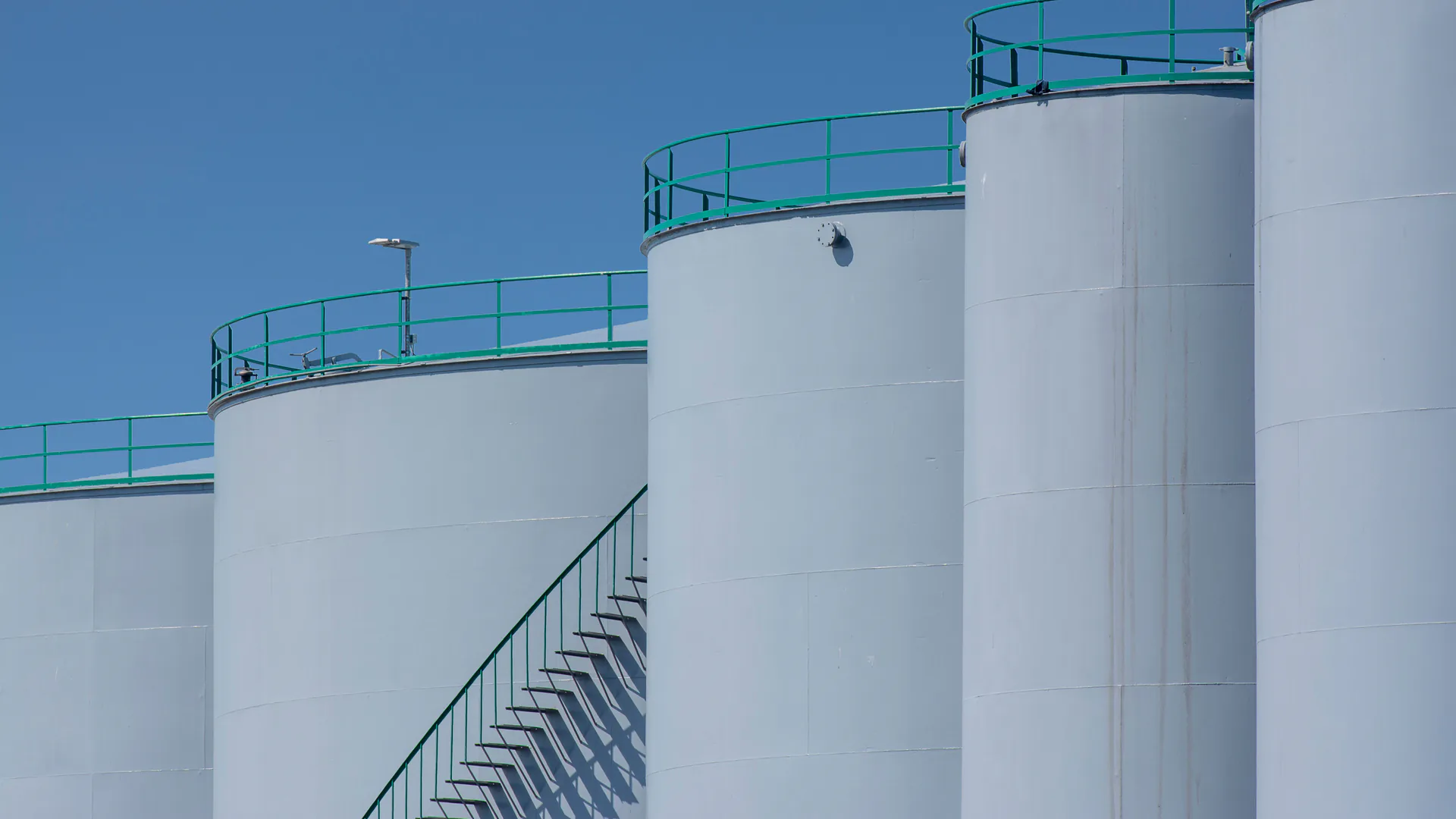
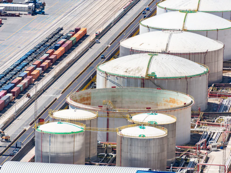
List the facility, unit, asset, component, inspection zone, degradation question, and decision owner. A storage-tank roof, shell, appurtenance, floating-roof seal area, flare tip, stack, pipe rack, containment area, and perimeter each need different evidence and access planning. “Inspect the refinery” is not a workable collection specification.
For every zone, state what the evidence can support: screen for a visible change, document coating condition, identify a heat pattern for review, locate a suspected emission source, build geometry, or confirm that a required view was obtained. Also state what it cannot support. Remote imagery should not be converted into a thickness, leak rate, material condition, or fitness-for-service decision without a validated method.
Connect each finding class to an action: accept, monitor, compare with prior epoch, collect another view, use another NDT method, issue a work request, isolate the area, or escalate to qualified engineering review. This prevents a high-volume image collection from becoming an unowned backlog.
2. Match the Sensor to the Evidence Question
Visible imaging supports surface condition, component identity, configuration, and change when scale, angle, illumination, sharpness, and location are controlled. Thermal imaging can show temperature patterns, but interpretation depends on emissivity, reflection, distance, atmosphere, wind, solar loading, process state, and sensor setup. Gas imaging or concentration sensing needs its own detection limit, wind context, calibration, path, and confirmation rule.
Geometric methods can support access planning, dimensional context, and repeat comparison. They do not automatically identify damage. Specify the output, coordinate frame, coverage, resolution, uncertainty, and comparison procedure rather than purchasing “3D” as a feature.
| Asset question | Primary remote evidence | Context that must travel with it | Likely confirmation |
|---|---|---|---|
| Tank surface change | Controlled visible overview and detail | Asset/zone ID, angle, scale, date and prior epoch | Qualified visual review or approved NDT |
| Abnormal thermal pattern | Measurement-capable thermal file plus visible view | Emissivity, environment, distance and process state | Repeat under controlled conditions or contact method |
| Suspected gas source | Validated gas sensor or optical method | Wind, path, detection limit, calibration and time | Approved leak-detection procedure |
| Flare or elevated component | Multiple safe stand-off views | Operating state, geometry, lens and exposure | Engineering review and planned access |
| Site geometry | Registered imagery or point cloud | Control, coordinate system, completeness and accuracy | Independent checks and deliverable QA |
The U.S. Department of Energy lists drone asset inspection as a resilience measure that can support safer, more frequent observation and improved asset information. Those benefits depend on a defined evidence and action chain.
3. Plan for Facility and Flight Hazards Together
Integrate the aviation risk assessment with site process safety. Map ignition-control requirements, classified or restricted areas, hot work and simultaneous operations, vents and exhaust, flare radiation, cranes, wires, structures, steam, moving equipment, people, roads, security restrictions, and emergency routes. An aircraft rated for adverse weather is not automatically approved for a hazardous area.
Coordinate control-room permission, asset state, isolation where required, radio channels, spotters, exclusion zones, emergency shutdown, and stop-work authority. Define who confirms process state and who can authorize launch, approach, abort, and recovery. The remote pilot should not infer process safety from the visual scene.
For U.S. small-UAS work, evaluate the actual operation against FAA Part 107, airspace, people, visual-line-of-sight, and other applicable requirements. Facility authorization does not replace aviation authorization, and an aviation approval does not replace owner or process-safety controls.
4. Preserve Measurement and Location Provenance
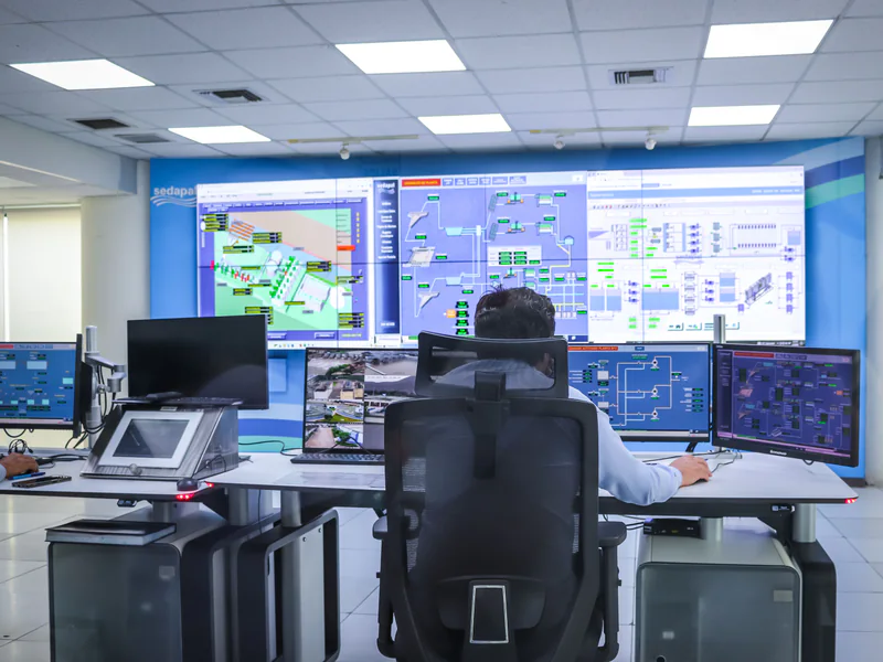
Give every asset and inspection zone a stable identifier used in the flight plan, media, review system, maintenance record, and repeat inspection. A finding must be reproducible: facility, asset, component, zone, side, view direction, capture time, original file, aircraft and payload configuration, sensor settings, relevant environment, reviewer, and disposition.
Store original data immutably and link annotated, enhanced, stitched, or model-derived products back to it. If automated analysis proposes a defect or emission candidate, preserve software/model version, threshold, confidence, and human review state. A machine label is a screening result, not an engineering conclusion.
BSEE’s current notice on pollution inspection intervals for unmanned Gulf facilities illustrates that remote visual observation can sit inside a specific regulatory and operator approval context. Buyers should map each remote method to the governing asset, jurisdiction, permit, and approved procedure rather than generalizing from one facility class.
5. Move Findings Into Maintenance and Regulatory Workflows
Define a quality gate in the field: required zones complete, identifiers correct, target detail resolvable, files intact, measurement metadata present, and exceptions recorded. Recollect while access, crew, and site state are still available when it is safe to do so.
The review funnel should distinguish unusable, no indication, candidate, indeterminate, confirmed by approved method, monitor, repair, and urgent escalation. Give each state an owner and due time. Link maintenance action and subsequent verification back to the original evidence so future screening can learn from outcomes.
PHMSA’s 2025 incorporated-standards update affects U.S. pipeline and storage facilities from 2026, but it does not turn drone imagery into compliance by itself. The responsible operator must identify the governing requirements, accepted inspection method, records, and qualified interpretation for each asset.
6. Compare a Service, Owned Fleet, or Hybrid Program
Service providers can bring specialized sensors, approved workflows, surge capacity, and experienced reviewers. An owned program can improve scheduling, repeatability, data control, and integration. A hybrid can keep routine visual work inside while contracting specialized sensing, advanced operation, or peak demand.
Compare all three on accepted outputs, not flight-day price. Include mobilization, permits, safety induction, standby, processing, reflight, data rights, review, integration, travel, support, and repeatability. Define who owns raw files, derived data, models, annotations, and defect taxonomies.
Where the required output is specifically a methane screen, source localization or supported estimate, the methane detection drone buyer’s guide separates sensing methods, wind-aware routes, ground verification and regulatory-use evidence.
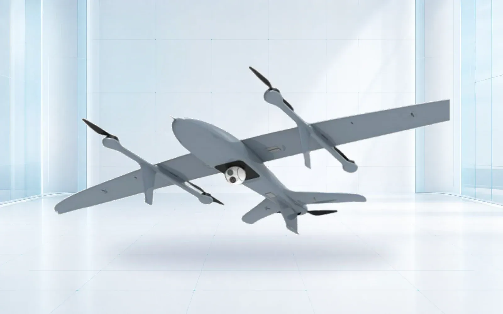
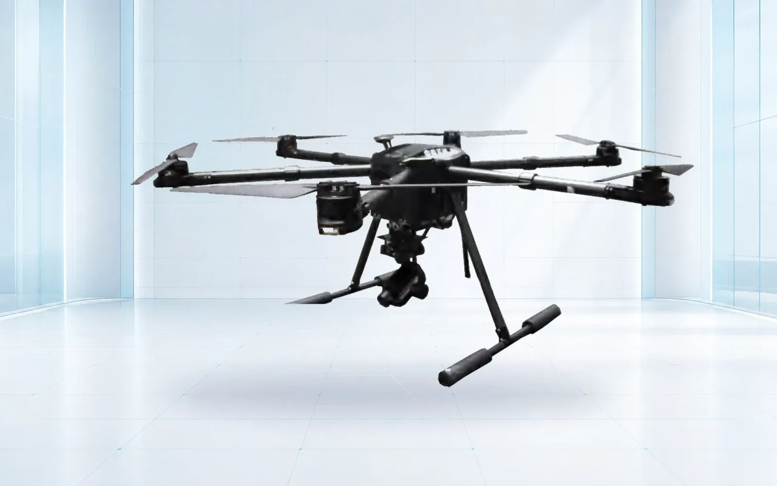
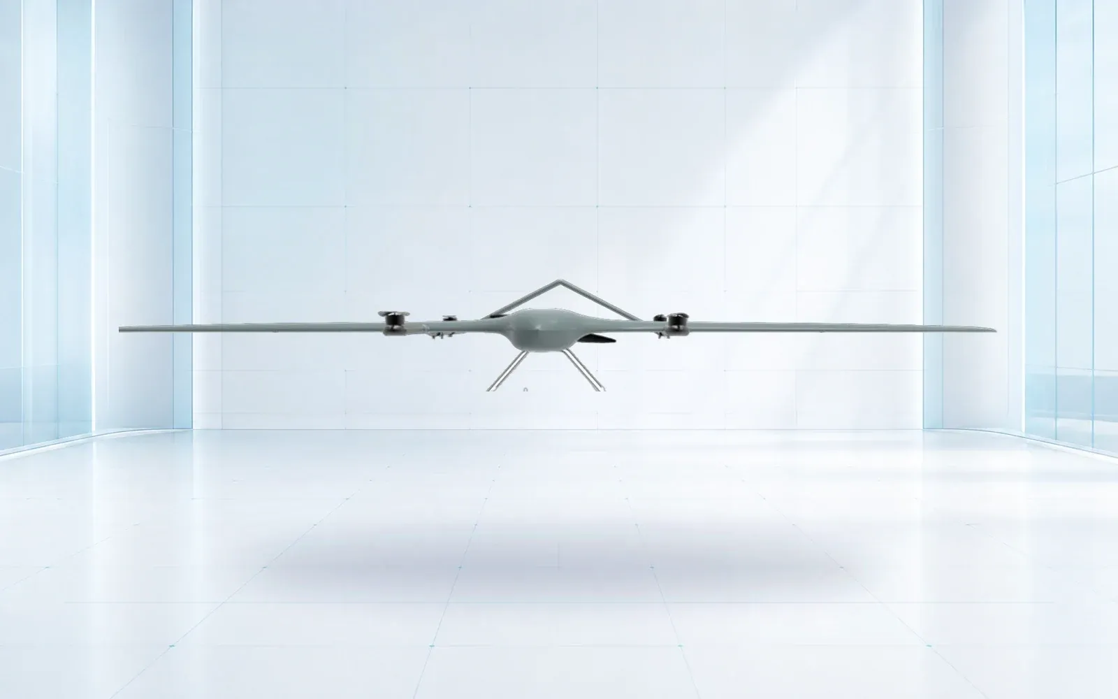
The F4 multirotor can be reviewed for close observation, while the ZJ-G25 VTOL can be reviewed for wider site or corridor collection. Neither reference replaces an installed-payload trial and site approval.
7. Accept the Workflow on Representative Assets
Select a pilot set that includes real tank geometry, flare or elevated assets, reflective and low-contrast surfaces, occlusion, difficult lighting, background heat, wind, communications challenges, and clean areas. Seed known targets where safe and lawful, and include conditions expected to produce nuisance candidates.
Score required-zone coverage, resolvable detail, thermal or gas detection performance under the approved method, location accuracy, repeatability, unusable data, false-candidate workload, time to qualified decision, contingency handling, and maintenance handoff. Record limits by condition rather than reporting one average.
The drone pipeline inspection guide addresses linear right-of-way evidence; use it as an adjacent workflow, not as a substitute for facility-specific methods. To scope a facility pilot, review the industrial UAV portfolio, oil and gas facility solution, and resources, then contact OMNI UXV with the asset register, sensor questions, process constraints, and acceptance dataset.
8. FAQs
Can drones replace all oil and gas inspection methods?
No. Drones can collect remote visual, thermal, gas, or geometric evidence when a validated method permits it, but contact NDT, internal entry, thickness measurement, sampling, or other approved methods may still be required.
Does a drone inspection require a facility shutdown?
It depends on the asset, hazard assessment, approved operating procedure, process state, sensor method, and site rules. The flight team must not infer that normal operation is safe simply because the aircraft is remote.
How should thermal or gas findings be reported?
Retain the original measurement, sensor settings, calibration or functional checks, environmental and process conditions, location, uncertainty, visible context, reviewer decision, and required confirmation method.
What should an oil and gas drone trial measure?
Measure required-zone coverage, target resolvability, location accuracy, unusable data, nuisance candidates, safety and communications performance, processing time, reviewer agreement, and maintenance-system handoff.