A methane detection drone is not one measurement category. It may screen a site, visualize a plume, localize a likely source, measure concentration along a path, or support an emissions estimate; each output requires a different sensor, flight geometry, validation method, and statement of uncertainty.
Table of Contents
- 1. Define Whether the Mission Is Screening, Localization, or Quantification
- 2. Select the Sensor by Measurement Output
- 3. Match the Aircraft to Standoff, Endurance, and Hazard Controls
- 4. Design Flight Lines Around Wind and Facility Geometry
- 5. Close the Loop With Ground Verification and Repair Records
- 6. Validate the Workflow Against the Applicable Rule or Method
- 7. Procure With a Blind Site Trial and Auditable Deliverables
- 8. FAQs
1. Define Whether the Mission Is Screening, Localization, or Quantification
Write the measurement question before selecting a payload. Site screening asks whether evidence of methane is present and where to investigate. Localization asks which equipment component is the likely source. Concentration measurement reports methane along a path or at a point. Quantification estimates an emission rate. These outputs are related, but one does not automatically prove the next.
Specify the asset list, minimum useful anomaly, spatial tolerance, revisit interval, result deadline and required follow-up. A rapid screening workflow may accept a broad plume cue if it reliably directs a qualified ground team. A repair-verification workflow needs source identity, post-repair evidence and traceability to the work order.
State whether the result is operational screening, maintenance prioritization, voluntary reporting or evidence under a particular regulation. The buyer and vendor must identify the applicable rule and approved method for the facility and date; a sensor brochure cannot determine compliance.
2. Select the Sensor by Measurement Output
Optical gas imaging can show a gas plume under suitable contrast, geometry and conditions. Laser-based systems may measure methane along an optical path and can support standoff work. Point or pumped sensors sample local air and may be useful near a plume, but aircraft disturbance and the probability of intersecting a narrow plume matter. More complex systems can combine concentration, position and wind in an emission-rate model.
Ask for the native observation, detection logic, calibration route, response time, detection-limit definition, cross-sensitivities, standoff range, viewing geometry, environmental limits and raw data. A quoted parts-per-million value is not directly comparable with a path-integrated value or emission rate.
| Mission output | Candidate method | Critical inputs | Required follow-up |
|---|---|---|---|
| Site-level screen | OGI, laser or sampled concentration | Coverage, geometry, wind and detection threshold | Investigate flagged area |
| Plume visualization | OGI | Thermal/radiance contrast, angle and operator skill | Confirm source and record conditions |
| Likely source location | Laser transects or close sampling | Position, plume transport and repeat passes | Component-level ground check |
| Emission estimate | Calibrated concentration plus wind/model | Flow field, background, geometry and uncertainty | Method-specific QA and record |
| Repair verification | Repeatable approved observation | Same asset identity and comparable conditions | Close maintenance record |
Do not combine unlike claims into a single “sensitivity” ranking. The proposal should state which output is warranted and which remains an engineering indication.
3. Match the Aircraft to Standoff, Endurance, and Hazard Controls
The aircraft must carry the installed sensor with reserve while maintaining its required angle, altitude and speed. Check payload power, electromagnetic compatibility, time synchronization, metadata, vibration and whether the sensor needs steady hovering or continuous transects. Model real route coverage around exclusion areas, flare stacks, tall structures and launch constraints.
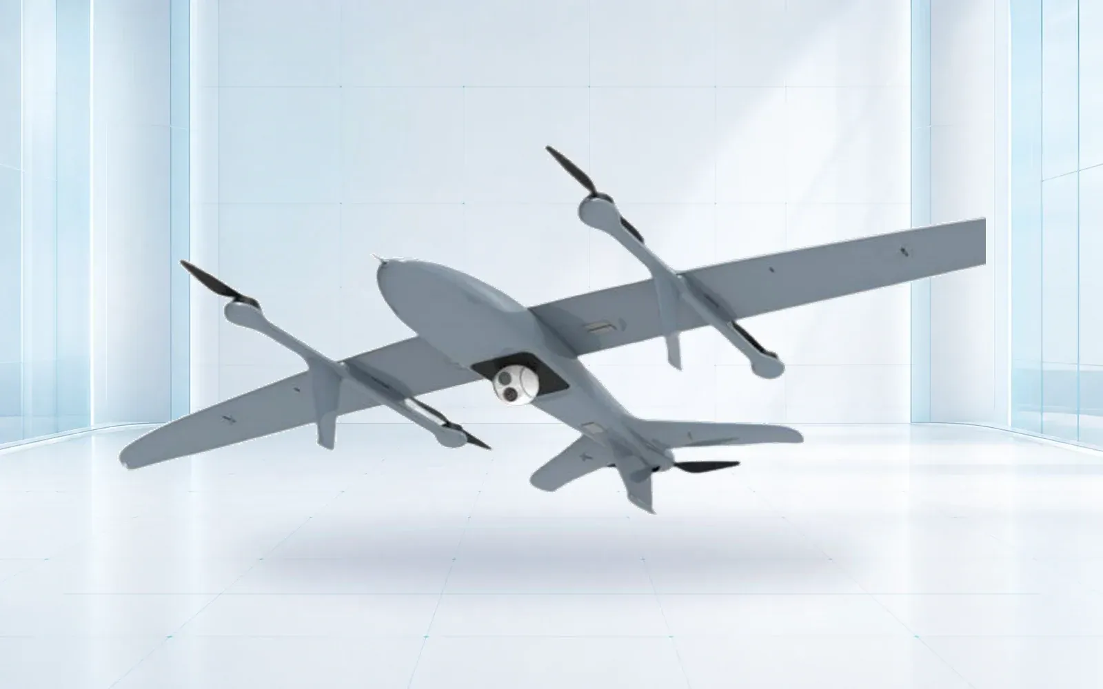
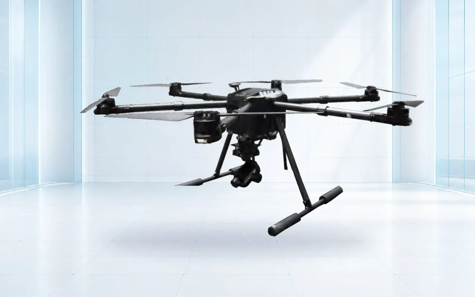
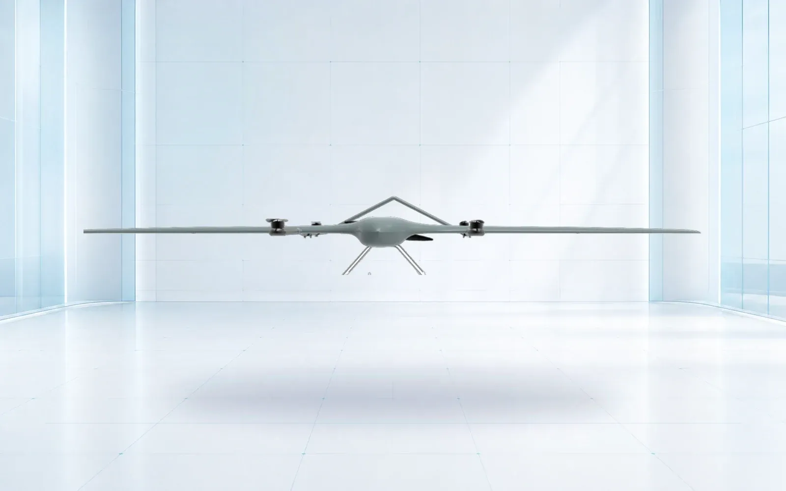
A multirotor such as the F4 waterproof platform can represent close, controlled observation, while a ZJ-G25 VTOL may be considered for wider-area survey patterns. These are configuration references; hazardous-location procedures, standoff, installed-payload limits and permission for the intended operation require separate confirmation.
Define lost-link, emergency landing, battery, ignition-source, static, weather and concurrent-work controls with the facility operator. “Waterproof” or long endurance does not establish suitability near process equipment. The buyer should require a site-specific operating procedure and interface with control-room or permit-to-work processes.
4. Design Flight Lines Around Wind and Facility Geometry
Methane follows the flow field, not the site map. Wind varies with height and time, and wakes form around vessels, pipe racks, buildings and tanks. Record wind speed, direction, variability and sensor height throughout the survey. Define acceptable conditions and when the crew must pause or redesign the route.
Plan upwind background observations and downwind transects that can intersect likely plumes. Use repeated and sometimes crosswind passes to distinguish a persistent source from noise. For OGI, plan viewing angle, background and dwell time. For path measurements, preserve beam geometry and distance. For sampling, account for response time and transport through tubing.
The route file, aircraft trajectory, sensor observations, meteorology and facility asset identifiers must share time and coordinates. A map marker without these records is difficult to reproduce or defend.
5. Close the Loop With Ground Verification and Repair Records
Define what happens after an aerial alert. The workflow should assign a priority, qualified verifier, ground method, safe-access process, work order and result deadline. It should allow “not confirmed” without silently deleting the aerial observation, because wind or operating state may have changed.
Link the original event to component identity, verification evidence, repair, resurvey and closure. Preserve no-leak and inaccessible outcomes as well as confirmed leaks. Review false alerts, missed controlled releases and repeated components to improve route design and maintenance planning.

The broader oil and gas drone inspection guide addresses visual, thermal and facility evidence. This article’s narrower role is to make methane measurement and verification explicit rather than treating a gas payload as another camera.
6. Validate the Workflow Against the Applicable Rule or Method
Keep the measurement claim and regulatory-use claim in separate evidence fields. A sensor may detect a controlled release without satisfying a prescribed survey method, and a method may be applicable only when training, viewing geometry, records and adverse-condition rules are met.
| Proposed claim | Minimum evidence packet | Procurement hold point |
|---|---|---|
| Site screening | Defined detection criterion, controlled releases, no-release periods and weather record | Buyer has not defined the follow-up ground method |
| Source localization | Component truth set, location-error method and inaccessible-source handling | A plume cue is being reported as confirmed equipment identity |
| Concentration result | Calibration trace, units, path or sample geometry, cross-sensitivity and raw record | Values with different measurement bases are compared directly |
| Emission-rate estimate | Concentration, wind/flow inputs, model version, uncertainty and validation cases | One percentage is offered without scenario-level error |
| Regulatory survey or alternative method | Cited rule/method, effective date, applicability, training and retained records | Supplier marketing is the only evidence of compliance |
EPA’s current alternative test-method FAQ explains that a drone-deployed OGI camera can meet the standard OGI survey only when all applicable requirements are satisfied, including operation by a trained person and observation from appropriate angles and distances without adverse conditions. It is not blanket approval of any drone or automated result.
EPA maintains an Oil and Gas Alternative Test Methods page for current determinations. Check the method, facility applicability and latest effective dates at the time of use. EPA’s 2025 interim final rule document also illustrates why implementation dates can change; procurement specifications should identify the dated regulatory basis rather than repeat an undated claim.
Require a method matrix that maps each planned output to regulatory or voluntary use, operator qualification, calibration, recordkeeping, retention and required confirmation. Obtain legal and environmental-program review for the actual jurisdiction.
7. Procure With a Blind Site Trial and Auditable Deliverables
Run the proposed aircraft, sensor, crew and processing workflow at a representative site. Use independently characterized releases where safe and authorized, include no-release periods, and conceal some release timing and location from the operating team. Vary rate, equipment geometry, wind and standoff within the intended envelope.
Score probability of detection by scenario, false events, source-location error, output latency, invalid-data flags, repeatability and completeness of the record. For quantification, use an agreed error and uncertainty method rather than one average percentage. Test data export, work-order handoff and post-repair verification.
Use the oil and gas facility security solution to integrate aerial findings with site operations and the industrial UAV category to compare aircraft around the installed measurement system. The compliance library can organize applicable method evidence. For a sensor-method matrix and blind acceptance protocol, contact OMNI UXV with facility type, target output, route constraints, applicable rule and verification process.
8. FAQs
Can a methane detection drone replace every ground inspection?
No. Aerial methods can improve access and coverage, but the applicable rule, approved method, sensor limits and required source-level verification determine whether and how they may replace a ground survey.
Can an aerial methane detection system quantify leak rate?
Some configured methods estimate emissions, but credible quantification needs calibrated measurements, wind information, an appropriate model, quality controls and stated uncertainty.
How does wind affect drone methane detection?
Wind direction and variability move and dilute the plume, while turbulence around equipment changes its shape, so route geometry and interpretation must use recorded meteorological conditions.
What should a methane drone site acceptance test include?
Use controlled or independently characterized releases, no-release periods, representative equipment, several wind conditions and blind scoring of detection, localization, false events and reporting.