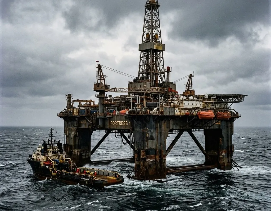
Process consequence changes the response
A security or inspection event must be evaluated against operating state, hazardous areas and permit-to-work controls.
Process-aware protection · Reference architecture
Inspection, low-altitude security, ground movement and command workflows configured around process consequence and hazardous-area constraints.
Operating context
Oil and gas sites combine process safety, physical security, remote assets and strict change control. Equipment must be selected against actual environmental and hazardous-area requirements; a generic rugged or certified claim is not enough.
This architecture uses aircraft for targeted inspection, layered detection for low-altitude awareness, monitoring where ground movement matters and a command layer that respects the site’s network and permit-to-work controls.
Problem definition
These challenge areas determine the architecture, operating model and acceptance evidence for the site.
A security or inspection event must be evaluated against operating state, hazardous areas and permit-to-work controls.
Pipelines, remote stations and facilities need different aerial, fixed-sensor and communications strategies.
Environmental, RF, cyber and hazardous-area evidence must match the exact device and installation.
Layered architecture
Product references show a viable starting point. Interfaces, quantities, ranges and legal availability are confirmed during project engineering.
VTOL aircraft inspect corridors and remote assets; multirotors support close visual follow-up.
Radar, RF and visual confirmation provide a layered picture around priority facilities.
Radar or GNSS may monitor slopes, foundations or subsidence where site studies require it.
A configured IRVMS instance correlates events without assuming unsafe access to process networks.
Operating model
The operating model gives every sensing and platform layer a defined input, handoff and output.
Prioritize assets, corridors, operating states, hazards and existing controls.
Output: Asset and consequence register
Use aircraft, low-altitude sensing and ground monitoring for defined evidence.
Output: Site and corridor architecture
Verify environment, installation, spectrum, aviation, access and cyber boundaries.
Output: Configuration evidence matrix
Test with operations, security and IT using approved areas and scenarios.
Output: Joint acceptance record
Implementation sequence
The sequence is intentionally phased so that site facts, interfaces and operator behavior can change the design before broad deployment.
Map consequence, hazardous zones, permit controls, networks and existing surveillance.
Verify environmental, RF, aviation and cyber requirements for each exact configuration.
Test in agreed zones and operating states with site operations, security and IT personnel.
These are design outcomes, not a claim that a specific result has already been achieved at an unnamed customer site. Project acceptance criteria are agreed for the configured system.
Acceptance matrix
| Area | Requirement | Evidence |
|---|---|---|
| Inspection output | Aerial or remote sensing produces the required asset or corridor evidence. | Accepted inspection dataset |
| Site compatibility | Installation and operation match the approved environmental and RF basis. | Model-specific evidence review |
| Event coordination | Security and process roles receive the correct context and action. | Joint incident scenario |
| Cyber boundary | Sensors and platform interfaces respect site identity, network and logging controls. | Architecture and access test |
Equipment context

Long-range aerial platform
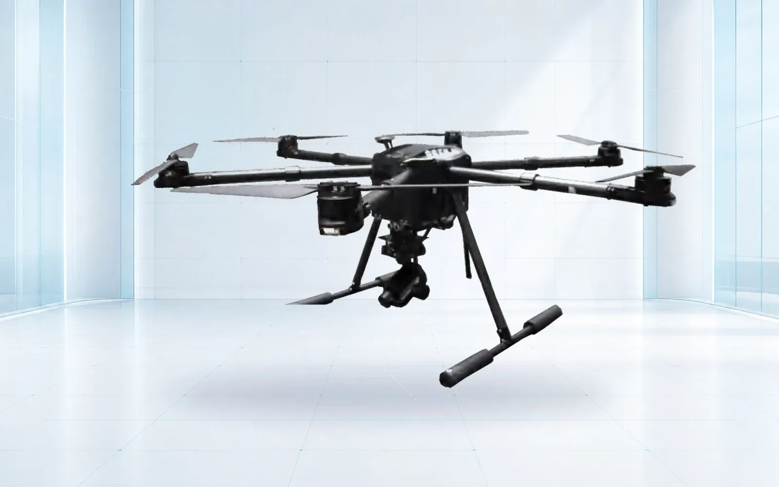
All-weather multirotor
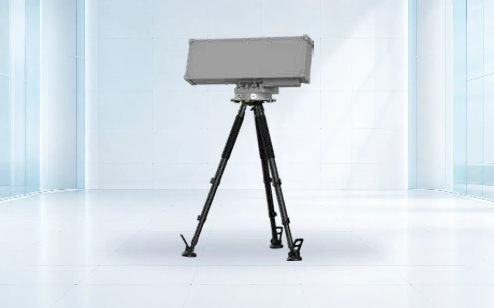
Low-altitude detection
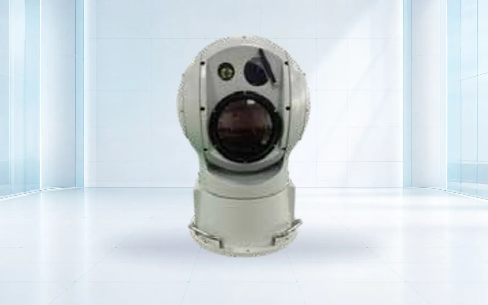
Visual confirmation
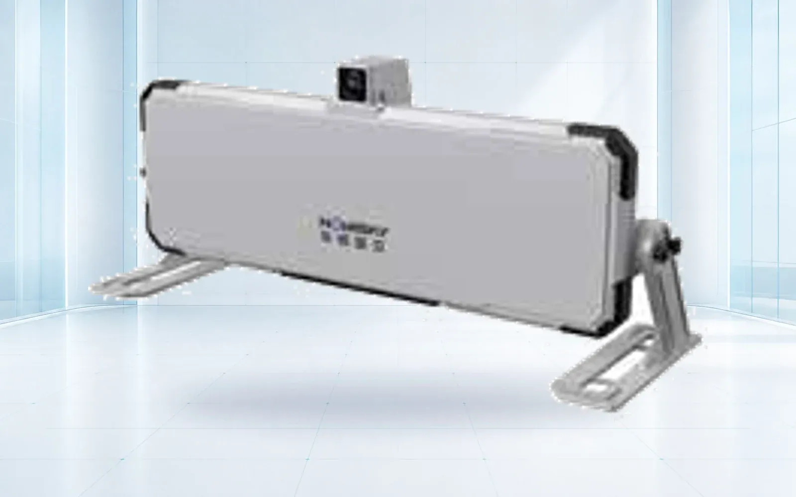
Fast-update deformation radar
Point displacement monitoring
Technology pillars
Compare OMNI UXV VTOL, multirotor and heavy-lift UAV reference configurations for inspection, mapping, logistics and public-safety missions.
Open category guide →Compare OMNI UXV radar, RF, electro-optical, jamming and navigation-response components for layered low-altitude security projects.
Open category guide →Compare OMNI UXV slope radar, structural monitoring, laser scanning and GNSS instruments for mines, slopes, dams and emergency sites.
Open category guide →Explore OMNI UXV IRVMS command platforms for site-wide sensor integration, alert verification, mapping and coordinated incident workflows.
Open category guide →No such portfolio-wide claim is made. Required evidence must be verified for the exact model, enclosure, installation and hazardous-zone classification.
Site RF compatibility and legal authority require dedicated review. Detection-only and passive configurations may be the appropriate outcome.
No. It can reduce routine access and target follow-up, but inspection method and acceptance must still satisfy the asset owner and applicable standards.
Evidence base
These sources provide public-sector or research context. The final project still requires destination-specific engineering, policy and legal review.
U.S. Pipeline and Hazardous Materials Safety Administration
Official research program on UAS sensor combinations for difficult pipeline environments.
Share the mission, operating environment, existing systems, destination and required evidence. We will return a traceable architecture and configuration shortlist.
Start a technical inquiry