Railway drone inspection should augment a defined railroad inspection and maintenance process, not create a parallel archive of corridor imagery. The useful unit is a traceable observation tied to track, chainage, structure, operating condition, review method, and work order—not a kilometer flown.
Table of Contents
- 1. Define the Rail Asset and the Decision the Flight Supports
- 2. Divide the Corridor Into Inspectable Coverage Layers
- 3. Coordinate Railway, People, and Aviation Risk
- 4. Match Aircraft and Sensors to Each Inspection Layer
- 5. Preserve Chainage, Track Identity, and Evidence Quality
- 6. Triage Exceptions Into the Railroad Maintenance System
- 7. Prove Coverage and Safe Behavior in an Acceptance Trial
- 8. FAQs
1. Define the Rail Asset and the Decision the Flight Supports
Start with the railroad’s asset register and inspection obligations. A corridor may include plain track, switches, crossings, bridges, culverts, drainage, cut and fill slopes, retaining structures, signals, communications equipment, fencing, vegetation, and right-of-way encroachments. These assets do not share one defect list or one useful camera angle.
For every proposed aerial task, state the maintenance decision. Examples include sending a qualified person to a location, prioritizing drainage clearing, documenting a post-event change, screening a bridge or slope for a specialized inspection, or creating a vegetation work order. Do not promise that a broad image stream will diagnose conditions the method cannot resolve.
| Inspection layer | Useful aerial output | Required identity | Boundary or confirmation |
|---|---|---|---|
| Corridor context | Access, vegetation, drainage, earthwork or encroachment candidates | Route, track, chainage, side, epoch | Field or specialist review |
| Track and switch context | Repeatable overhead and oblique views | Track ID, switch or asset ID, direction | Does not replace tactile or instrumented checks by assumption |
| Structure screening | Overview and defined component views | Bridge, culvert, portal or retaining-asset ID | Engineer-defined inspection method |
| Event response | Before/after mapping and access evidence | Event boundary, time, reference data | Qualified operational decision |
The Federal Railroad Administration’s Automated Track Inspection Program uses automated data to inform manual inspection and maintenance. That is the appropriate conceptual model: sensing should feed the railroad’s qualified decision process rather than claim to replace it without an accepted basis.
2. Divide the Corridor Into Inspectable Coverage Layers
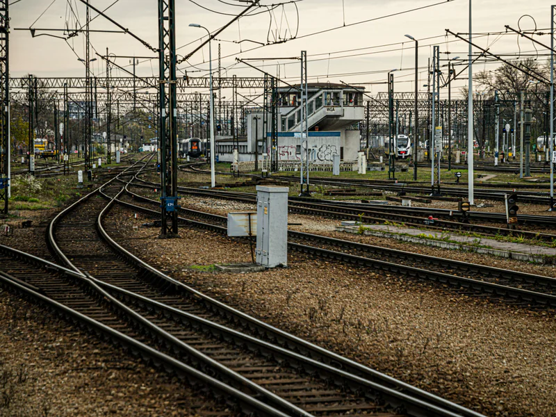
Segment the route by asset density, track configuration, terrain, access, airspace, communications, and train operations. A long straight segment, urban station approach, yard, bridge, tunnel portal, forested cut, and mountain slope need different coverage and risk plans. A single nominal altitude and image interval is unlikely to satisfy them all.
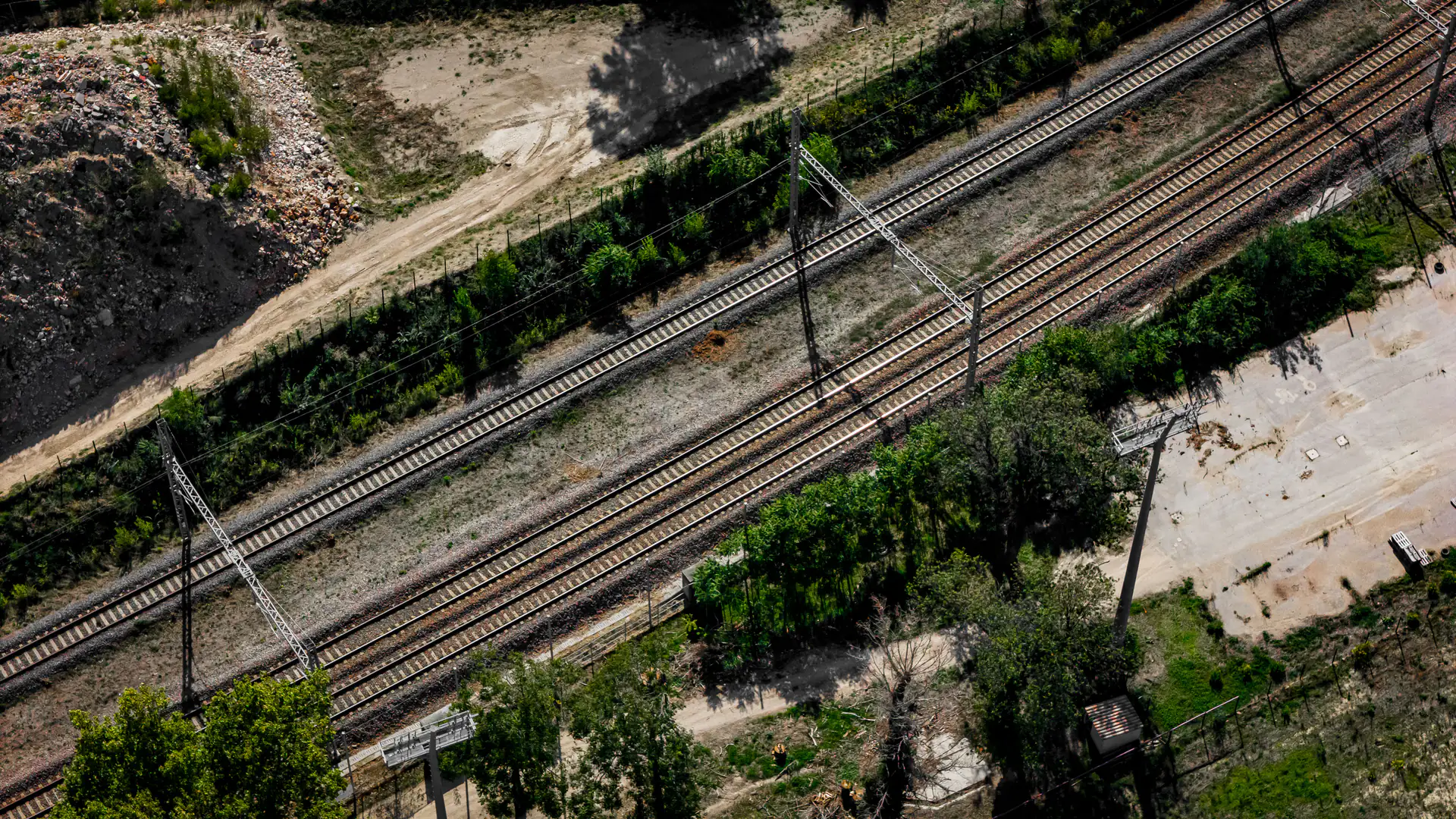
Define required views per asset layer. Corridor overview supports context and change detection. Track-level oblique views may support visible surface observations. Structures need component-specific views. Slopes and drainage need terrain geometry and downstream context. Record excluded or unobserved areas explicitly.
Use the railroad’s chainage or milepost convention as a primary locator and coordinates as supporting data. Coordinates alone may map to the wrong parallel track, side, or asset. Preserve travel direction, track ID, side, nearest fixed asset, camera pose, and map version with each observation.
Automated path following can help repeatability but does not remove supervision. FRA research on automated track-centerline drone flight was framed as augmenting human inspection and included GPS-denied considerations. A production design should prove how it behaves at switches, parallel tracks, bridges, signal bridges, vegetation, and unavailable or misleading GNSS.
3. Coordinate Railway, People, and Aviation Risk
Railway operating control and aviation control are distinct and both must be satisfied. Define who authorizes entry, controls track occupancy or protection where applicable, communicates train movements, controls ground access, and stops the flight. The remote pilot should not infer that a track is protected from a timetable or temporary absence of trains.
Model wake or airflow near moving trains, catenary or overhead line equipment, signal bridges, wires, poles, vegetation, tunnels, public crossings, platforms, roads, and adjacent property. Establish exclusion distances and contingency paths that include navigation uncertainty, wind, braking, and link latency. Avoid return behavior that crosses a track, overhead line, or structure without review.
In the United States, the FAA’s Part 107 page is the entry point for routine small-UAS requirements. A long corridor does not by itself authorize beyond-visual-line-of-sight flight. The concept may use staged visual-line-of-sight sections or an appropriately approved advanced operation, but the legal basis and command-and-control evidence must match the actual route.
Define weather and evidence-quality limits separately from aircraft survival limits. Rain, haze, glare, shadow, vegetation movement, snow cover, and low sun can make a flight unproductive even when the aircraft remains controllable.
4. Match Aircraft and Sensors to Each Inspection Layer
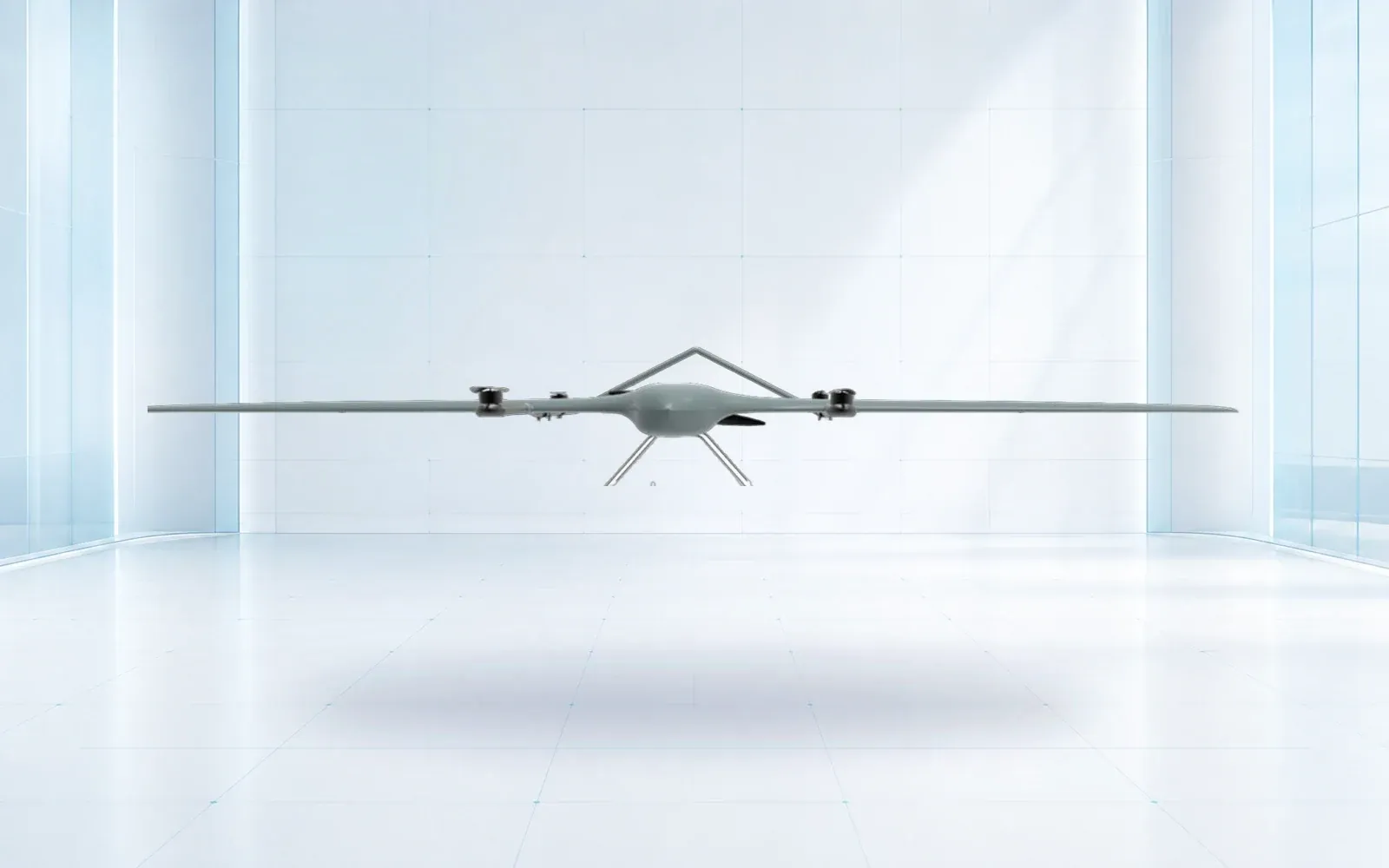
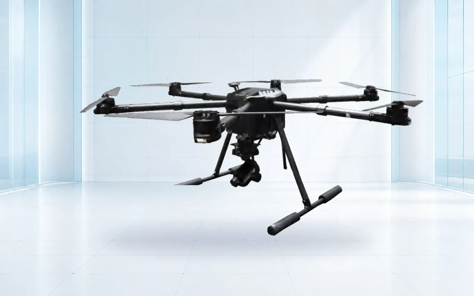
Efficient cruise can suit long-route context and broad mapping. Hover and low-speed control suit targeted structures, switches, portals, and follow-up views. The ZJ-G25 VTOL is a reference for corridor-scale configuration review, while the F4 waterproof multirotor is a reference for targeted observation. Confirm the installed payload, usable reserve, wind response, link behavior, and target detail in a route trial.
Visible imagery supports appearance and context. Thermal data may support an owner-approved question under controlled conditions. LiDAR or photogrammetry may support geometry, change, drainage, clearance, or terrain products if coordinate control and uncertainty are suitable. None of these sensors automatically establishes internal rail, fastening, electrical, or structural condition.
Specify target-based quality. Name the smallest feature or change that must be visible, the target distance, allowed blur and exposure loss, view direction, overlap, and coordinate accuracy. If an automated model will screen media, include representative clean cases, seasonal clutter, shadows, ballast, oil, water, and hardware variants in its evaluation.
The current FRA Track and Structures Compliance Manual is useful context for the railroad’s broader compliance environment, but it should not be cited as blanket approval for a drone method. The railroad must map aerial outputs to the specific rule, program, and qualified review that apply.
5. Preserve Chainage, Track Identity, and Evidence Quality
At collection, validate route segment, track, direction, chainage convention, asset ID, required views, focus, exposure, original-file integrity, and coordinate quality. Recollect failures before releasing operating protections. Mark a coverage gap with its reason; never treat absence of imagery as an inspected clean condition.
Preserve raw logs, original media, coordinate reference, corrections or control sources, camera calibration where relevant, mission version, and processing version. A map marker created from an oblique image carries projection and model uncertainty. Store that uncertainty and provide the contextual view needed to locate the observation safely.
Use an observation record that separates what the image shows from the interpretation. “Dark linear feature visible on the east drainage face” is an observation. “Drainage failure requiring closure” is a decision that may need other evidence. Record reviewer, classification, confidence or uncertainty, required confirmation, and disposition.
For parallel corridors, the pipeline inspection drone program guide offers a comparable exception-to-work-order pattern. Its right-of-way and integrity decisions are not rail decisions, so link the workflows without merging their defect taxonomies.
6. Triage Exceptions Into the Railroad Maintenance System
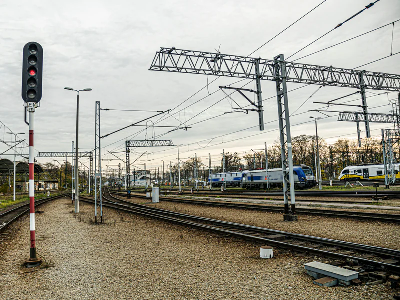
Process media through capture-quality review, candidate screening, duplicate grouping, qualified review, operational or engineering escalation, work order, and closure. Separate urgent operational notification from routine maintenance planning. The alerting path should define who receives what evidence, within what time, and who has authority to change rail operations.
Measure workload as well as detection. Candidates per route-mile, duplicate rate, review minutes, uncertain-case rate, and field-confirmation yield show whether the system is reducing or relocating labor. A model that finds every shadow can have high apparent sensitivity and little operational value.
Integrate stable identifiers with the railroad’s GIS, asset, and maintenance systems. A work order should include access side, nearest fixed reference, original evidence, required follow-up, hazards visible in the media, and the owner. After field work, link confirmation and completion evidence back to the original observation.
The smart city and transportation solution provides a wider sensing and operations context for transport infrastructure. Keep train control, inspection authority, and maintenance decisions in the railroad’s approved systems rather than treating a general security platform as the system of record.
7. Prove Coverage and Safe Behavior in an Acceptance Trial
Select representative plain track, switches, multiple-track sections, bridge or culvert approaches, cut and fill slopes, drainage, crossings, urban clutter, communications gaps, and seasonal vegetation. Include known conditions and clean assets. Exercise train coordination, denied access, missing view, wrong-track association, degraded GNSS, lost link, and weather aborts.
Score required-asset coverage, track and chainage accuracy, target resolvability, location uncertainty, missed and nuisance candidates, reviewer agreement, review time, contingency behavior, and successful work-order closure. Results should be reported by asset and operating condition, not only as an average distance per hour.
Acceptance must define the approved mission layers, human reviews, operating envelope, and retest triggers. Changes to aircraft, payload, automated model, route type, coordinate source, flight-control behavior, or railroad process may require partial or full retest.
To scope a representative corridor trial, review the industrial UAV portfolio and technical resources, then contact OMNI UXV with route segmentation, asset register, train-control interface, target evidence, communications assumptions, and acceptance measures.
8. FAQs
Can railway drone inspection replace required track inspection?
Not by default. A drone can augment defined visual, mapping, or change-detection tasks, but the railroad must determine how those outputs fit applicable inspection rules, qualified-person duties, internal standards, and confirmation methods.
Does a long railway corridor always require BVLOS drone operation?
No. The concept can use staged visual-line-of-sight segments, fixed observation points, or an approved advanced operation. The legal and safety basis must match the route, airspace, people, communications, and actual operating model.
How should a drone finding be located on a railway?
Store railroad, subdivision or route, track, chainage or milepost convention, side, asset ID, view direction, coordinate and its uncertainty, original media, and the mapping version used to make the association.
What should a railway drone acceptance trial measure?
Measure required-asset coverage, location and track-ID accuracy, resolvable detail, missed and nuisance candidates, safe train and flight coordination, communications behavior, reviewer agreement, and maintenance-system handoff.