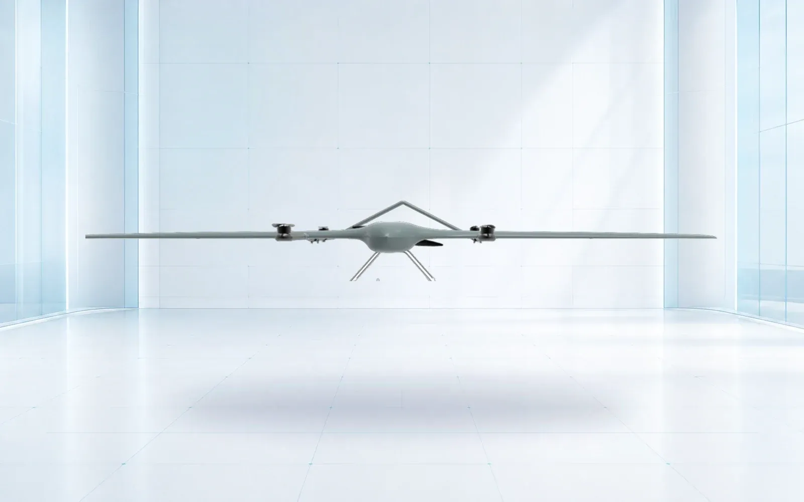
Survey and mapping platform
ZJ-G25 VTOL Survey UAV
- Maximum takeoff weight
- 20 kg
- Maximum payload
- 5 kg
- Reference endurance
- Up to 3.5 h, empty configuration
View product



Electric VTOL coverage for mapping, inspection and persistent observation.
The ZJ-G20 combines vertical launch and recovery with efficient fixed-wing cruise. Its reference configuration supports modular electro-optical, mapping and infrared payloads for missions where runway independence and wide-area reach matter.
System capabilities
Application fit
Technical data
Core performance and interface data for preliminary system selection.
Confirm a project configuration →| Maximum takeoff weight | 25 kg |
|---|---|
| Mission payload | 1.5–7 kg |
| Reference endurance | 3 h with 2 kg payload |
| Reference range | ≥260 km |
| Cruise speed | 22–35 m/s |
| Service ceiling | 5,000 m |
Engineering path
A clear sequence keeps product selection, integration and acceptance tied to the mission.
Confirm the environment, users, required outcome and constraints.
Resolve payload, interfaces, accessories and performance targets.
Agree tests, documentation, training, delivery and handover criteria.
Solution pathways
Selection context
Use these guides to test the mission assumptions behind a product shortlist.
Operational Guide
Plan usable drone endurance with a segment energy budget for payload, wind, altitude, reserves, diversion, battery condition, and representative flight tests.
Engineering Guide
Integrate drone payloads with an interface matrix covering mass, center of gravity, mounting, power, thermal control, data, failure behavior, and flight acceptance.
Integration can be reviewed around the mission, selected options and interfaces. Typical engineering inputs include runway-independent vtol, modular mission payload bay, long-range fixed-wing cruise, destination-country requirements and the intended operating environment.
Provide the destination country, operating scenario, required quantity, target performance, payload or integration requirements, delivery timing and any mandatory standards.
Continue comparing
Survey and mapping platform

Fuel-powered heavy platform
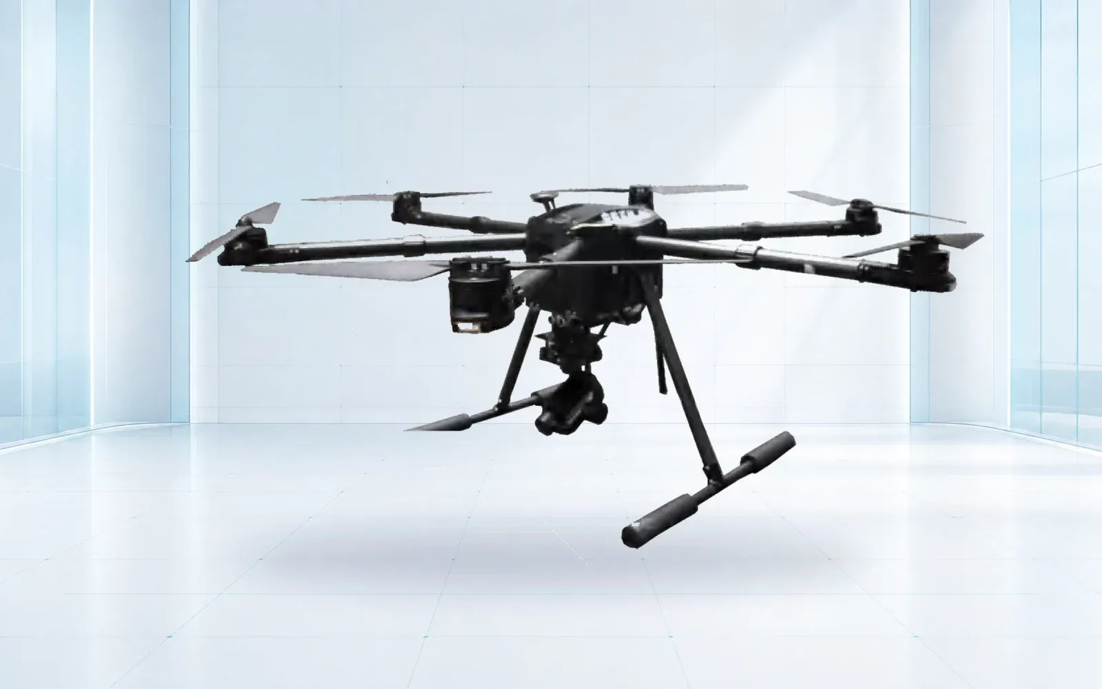
All-weather multirotor
Send the mission profile and destination country. We will confirm the suitable configuration, documentation scope, lead time and acceptance plan.
Request a technical review