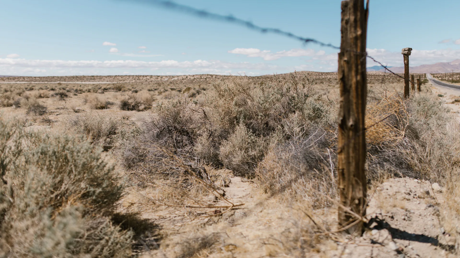
A border surveillance radar is useful only when it creates stable, actionable tracks in the site's terrain and hands them to confirmation and response teams. Buyers should replace one advertised range with a coverage model, target-specific performance, integration evidence, infrastructure design, and a site acceptance test.
Table of Contents
- Define the Detection and Handoff Mission
- Model Terrain, Clutter, and True Line of Sight
- Compare Coverage and Track Performance, Not One Range Number
- Design Radar-to-Camera and Command-Center Handoffs
- Specify Communications, Power, and Maintainability
- Run a Representative Site Acceptance Test
- Procure an Expandable Border-Surveillance Layer
- FAQs
Define the Detection and Handoff Mission
Begin with the decision the radar supports: cue a camera, dispatch a patrol, maintain track across a sector, protect an installation, or close a gap between fixed sites. Name the target classes, route types, speeds, group sizes, minimum reportable event and required warning time. A ground surveillance radar designed around walking people and vehicles should not be assumed to have the same performance against small aircraft.
Define the handoff as part of the requirement. State how quickly a new plot must become a confirmed track, where location and classification appear, which sensor receives the cue, and what information the operator needs before escalating. Detection without a usable handoff can increase workload rather than improve awareness.
The DHS/CBP FY2026 budget justification describes mobile surveillance capabilities that combine radar, small UAS and integrated communications. It is evidence that the operational capability is a system of systems, not proof that one architecture fits every site.
Model Terrain, Clutter, and True Line of Sight
Create a digital and field-verified coverage model before fixing quantities. Terrain folds, cut banks, vegetation, buildings, fences and the curvature of access roads can block or fragment a nominal circle. Survey candidate mounting height, azimuth, allowable structures, power, backhaul and service access. Mark dead ground and routes likely to move through it.
Clutter should be treated as a site condition. Moving vegetation, water, livestock, road traffic, rail, machinery and weather can generate plots or obscure a target. Ask how the vendor tunes the site, which filters are exposed, and whether tuning that suppresses false alarms also reduces desired detections.
| Procurement field | State in the requirement | Verify in the field |
|---|---|---|
| Target class | Person, group, light vehicle, heavy vehicle and speed range | Representative routes and directions |
| Coverage sector | Coordinates, terrain mask, minimum warning distance | Walk/drive test beyond and within boundaries |
| Track quality | Initiation time, continuity, update rate and location tolerance | Stops, turns, crossings and partial occlusion |
| False-track burden | Allowed rate by operating state | Day/night and representative clutter periods |
| Handoff | Message fields, latency and camera pointing tolerance | End-to-end operator exercise |
| Availability | Power, link, environmental and maintenance assumptions | Outage, restart and degraded-mode trial |
The result should be an accepted-sector map with stated exclusions, not a marketing radius pasted over satellite imagery.
Compare Coverage and Track Performance, Not One Range Number
Advertised range normally assumes a target, aspect, speed, environment, probability criterion and processing state. Ask for those assumptions. Specify probability of detection and false-event measurement over a named test duration, but also score track initiation, continuity, identity swaps, position error, classification stability and time to operator comprehension.
Long range is not automatically the highest value. A radar that creates stable tracks through the response zone may be more useful than one that occasionally detects a distant target and loses it near clutter. Sector, rotating and omnidirectional configurations also distribute revisit and coverage differently; compare them with the same target routes and accepted-sector definition.
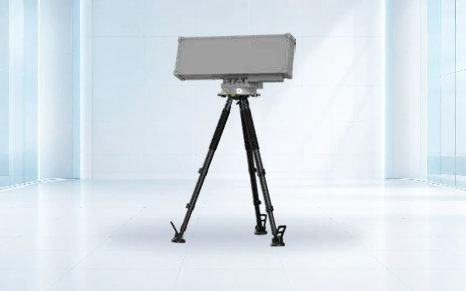
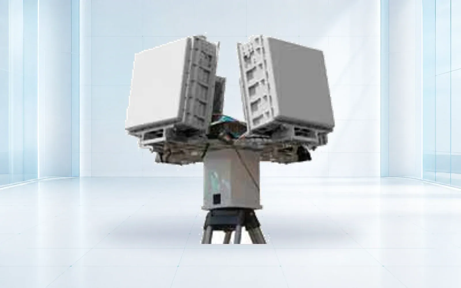
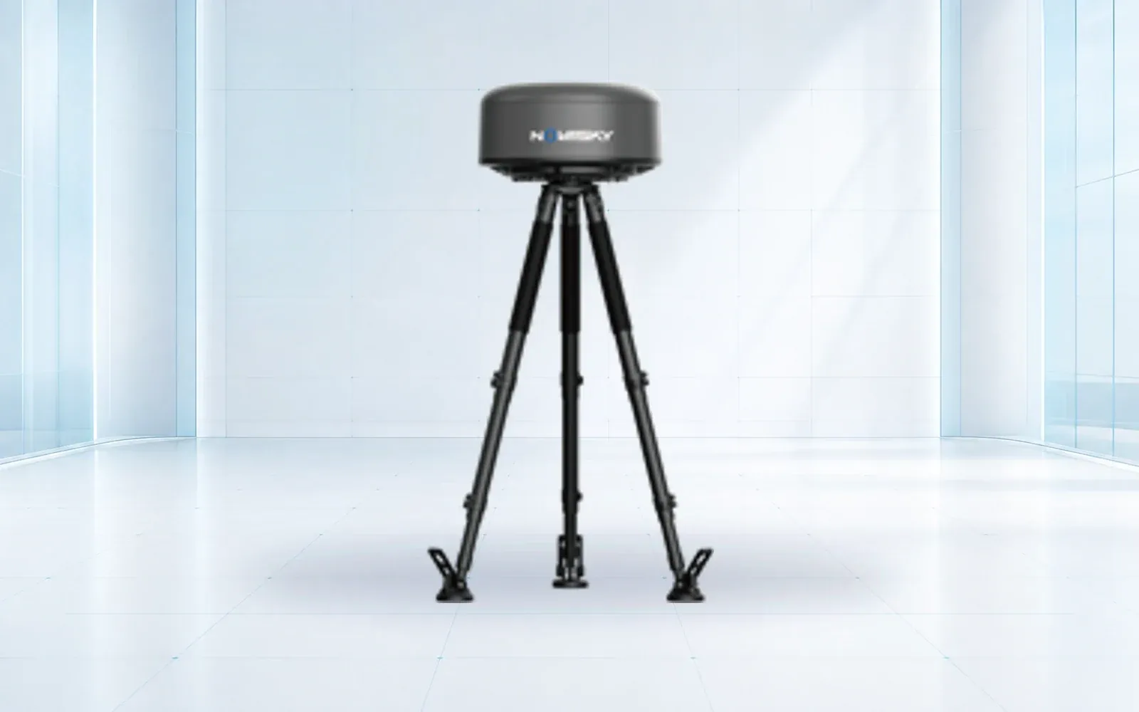
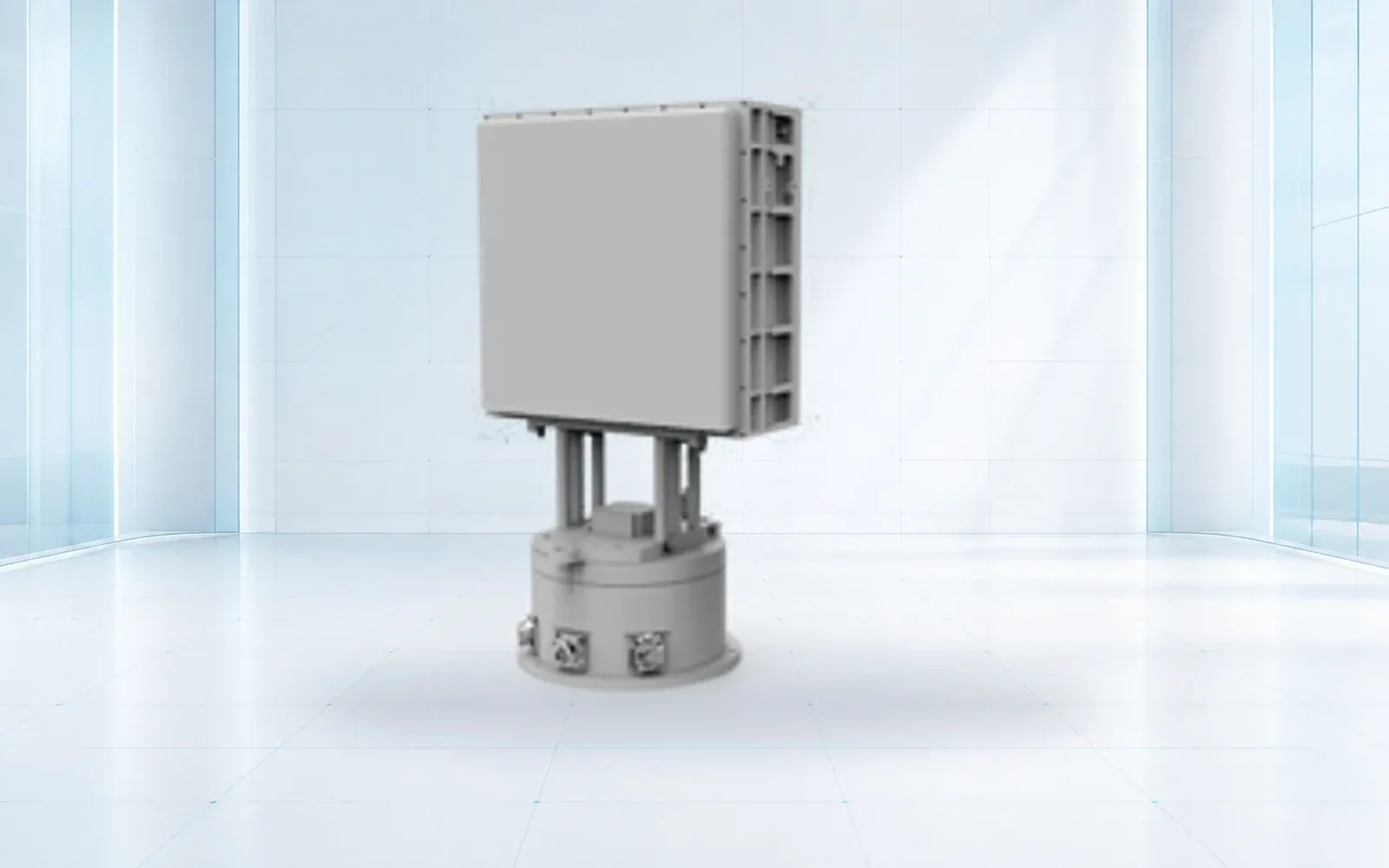
The NI-R5000 active radar, NI-SR3000 array radar and NI-QR5000 omnidirectional radar illustrate different reference configurations. Confirm ground-target modes, sector geometry, interfaces and evidence for the exact delivered version.
Design Radar-to-Camera and Command-Center Handoffs
Radar coordinates, map coordinates, camera presets and the command platform must share an agreed reference. Specify track identifier, timestamp, position, velocity, classification, confidence, sensor health and update behavior. Test clock synchronization and define what happens when data arrives late or out of order.
Camera cueing should be measured at relevant distances and mounting geometries. The acceptance result is not “API connected”; it is whether the EO/IR system places the target inside a useful field of view quickly enough for an operator to assess it. Crossing targets, track merges and handoffs between radars reveal integration errors that a single straight walk will miss.
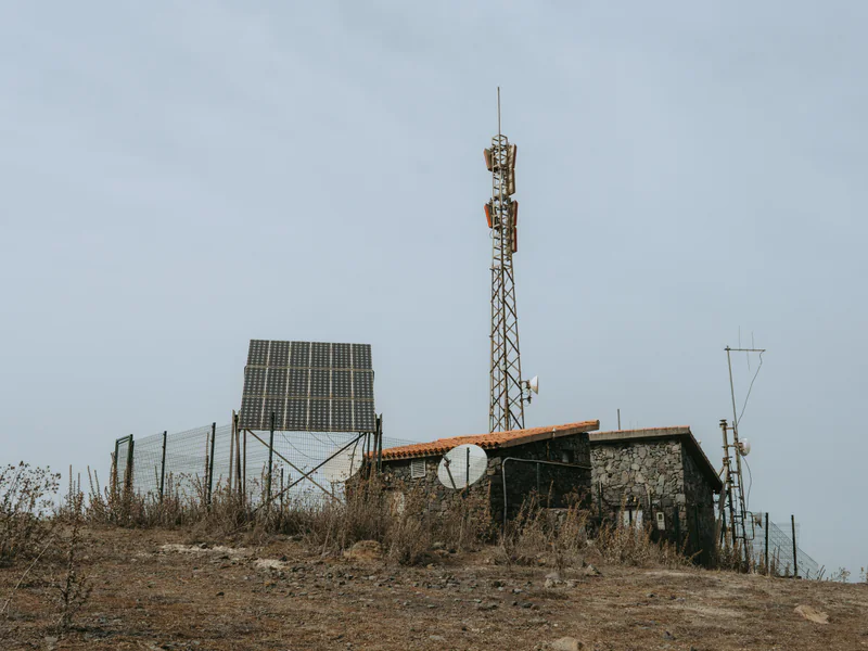
Use a common operating picture to preserve the sensor event, confirmation evidence and response record. The broader border surveillance systems guide explains how radar fits with fixed, mobile and aerial layers; this page owns the radar procurement and acceptance decision.
Specify Communications, Power, and Maintainability
Coverage disappears when power or backhaul fails. Price the mounting structure, grounding, lightning protection, enclosure, backup power, communications, cybersecurity controls, spares, tools and site access. Model bandwidth at normal and alarm loads, and define local buffering when the network is unavailable.
Require authenticated administration, role-based access, event logging, configuration backup, software support terms and a controlled update procedure. Record which party owns radar tuning and how changes are approved. A maintenance visit to a remote location may dominate lifecycle cost, so request module-replacement time, fault isolation, remote diagnostics and restoration targets.
DHS’s FY2026 Budget in Brief discusses integrated surveillance towers in the current program context. Buyers should use such public program material to understand architecture and sustainment questions, not to copy requirements without a local threat and terrain analysis.
Run a Representative Site Acceptance Test
Use a sector acceptance ledger instead of one site-wide pass percentage. It keeps terrain and integration failures attached to the route where they occurred:
| Ledger field | Record for every run | Why procurement needs it |
|---|---|---|
| Route and target state | Surveyed route, direction, speed, stops, group behavior and masking | Prevents an easy route from standing in for the protected sector |
| Environmental state | Weather, vegetation motion, surface condition and background traffic | Shows whether tuning is portable across real operating conditions |
| Track result | First plot, confirmed track, continuity, swaps, classification and location error | Separates occasional detection from usable tracking |
| Handoff result | Cue timestamp, receiving sensor, target in frame and operator decision | Verifies that radar output reaches a confirmation action |
| No-target period | Duration, false tracks, nuisance sources and operator workload | Makes false-alarm cost visible before award |
| Disposition | Pass, conditional pass, corrective action, owner and retest date | Stops unresolved gaps from disappearing into a summary average |
Develop routes before installation and keep some blind to operators and vendor staff. Include direct approaches, lateral movement, stops, groups splitting and merging, vehicles at several speeds, partial terrain masking and movements near known clutter. Run both target-present and target-absent periods; otherwise false-track burden is invisible.
Score each sector and target class separately. Record missed detections, fragmented tracks, false tracks, identity swaps, location error, classification result, camera cue time and operator decision time. Define weather and vegetation limits for the formal result and schedule a seasonal retest when those conditions materially change.
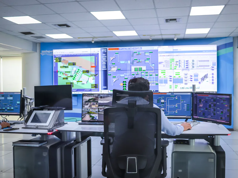
Acceptance should include restart, backup power, loss of backhaul, local buffering, time recovery, configuration restoration and cybersecurity logging. Preserve raw or replayable data for disputed results. A retest plan must state who pays when a failure comes from installation, integration, site conditions or an incorrect requirement.
Procure an Expandable Border-Surveillance Layer
Award by accepted sector and operational handoff, not the number of radar boxes. Use a requirements traceability matrix that connects threat, target route, sensor output, confirmation, response, test and evidence. Keep interfaces and coordinate conventions explicit so later towers or mobile assets can join without rebuilding the command layer.
Use the border and homeland security solution to place radar inside a layered operating concept, and review the counter-UAS and surveillance sensor category for relevant configurations without assuming every sensor serves every target. The compliance library supports jurisdiction-specific review. For a terrain-led coverage model and acceptance protocol, contact OMNI UXV with the site, target classes, required warning time, infrastructure limits and confirmation workflow.
FAQs
Can a border surveillance radar identify a person by itself?
Radar can detect and classify motion patterns under stated conditions, but visual identification and operational assessment normally require an EO/IR sensor or another authorized confirmation method.
Why can two radars with similar maximum range perform differently?
Frequency, aperture, waveform, processing, target assumptions, terrain, vegetation, weather, clutter, mounting and track logic all affect usable performance.
What should a border radar site acceptance test include?
It should use representative people, vehicles, speeds, routes, clutter and weather across named sectors, while scoring detection, false tracks, continuity, location error and handoff.
Is a ground surveillance radar the same as a counter-drone radar?
Not necessarily. The target dynamics and clutter problem differ, so buyers must verify the exact target classes and modes rather than infer capability from the radar label.