
Coverage is uneven
Terrain, vegetation, settlement, roads and communications create corridors where one nominal sensor range does not describe usable awareness.
Extended-area awareness · Reference architecture
Layered aerial, low-altitude and ground awareness designed around terrain, authority, communications and evidence—not a single sensor range.
Operating context
Long borders create a coverage problem before they create a product problem. Terrain, roads, population, weather, communications and response time determine where fixed sensors, mobile teams and aircraft add value.
This reference architecture separates detection, verification and response. It can be implemented as surveillance-only, with any active countermeasure or intervention kept subject to the authority and law of the destination.
Problem definition
These challenge areas determine the architecture, operating model and acceptance evidence for the site.
Terrain, vegetation, settlement, roads and communications create corridors where one nominal sensor range does not describe usable awareness.
A remote track only becomes operationally useful when another sensor or team can classify it before the response window closes.
Aviation, privacy, spectrum, evidence and intervention responsibilities may sit with different organizations and must be designed into the workflow.
Layered architecture
Product references show a viable starting point. Interfaces, quantities, ranges and legal availability are confirmed during project engineering.
VTOL aircraft survey routes and investigate sectors that are difficult to reach from the ground.
Radar and RF sensing provide complementary awareness of small aircraft around protected sectors.
Electro-optical tracking supports operator confirmation and evidentiary recording.
A configured platform correlates alerts, maps assets and records acknowledgements and escalation.
Operating model
The operating model gives every sensing and platform layer a defined input, handoff and output.
Rank corridors and assets by consequence, access, historical activity and available response.
Output: Risk-based coverage plan
Use fixed or mobile sensors to create a track with known confidence and coverage limits.
Output: Time-synchronized track record
Cue electro-optical, aerial or ground resources using shared coordinates and defined handoff rules.
Output: Classified event and assigned owner
Apply the locally authorized procedure and retain observations, decisions and evidence.
Output: Complete incident timeline
Implementation sequence
The sequence is intentionally phased so that site facts, interfaces and operator behavior can change the design before broad deployment.
Prioritize corridors, response bases, communications gaps and protected airspace.
Measure track continuity, nuisance alarms, cue handoff and operator workload.
Expand only after communications, procedures, maintenance and evidence export are stable.
These are design outcomes, not a claim that a specific result has already been achieved at an unnamed customer site. Project acceptance criteria are agreed for the configured system.
Acceptance matrix
| Area | Requirement | Evidence |
|---|---|---|
| Priority coverage | Agreed target routes are observed across representative terrain and background. | Mapped route and continuity results |
| Cross-layer handoff | Ground, aerial and visual resources receive usable coordinates in time. | Cue and verification timing |
| Communications | Operations continue or degrade predictably through known coverage gaps. | Link survey and outage exercise |
| Incident record | The event can be reconstructed across sensors and responsible organizations. | Accepted multi-source package |
Equipment context

Long-range aerial platform

Survey and mapping platform

Low-altitude detection
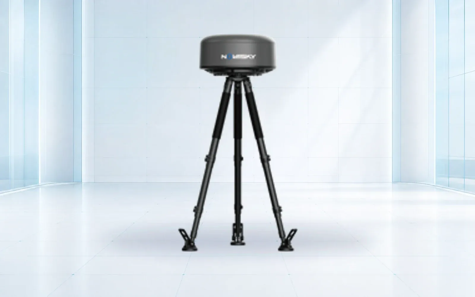
Passive spectrum awareness
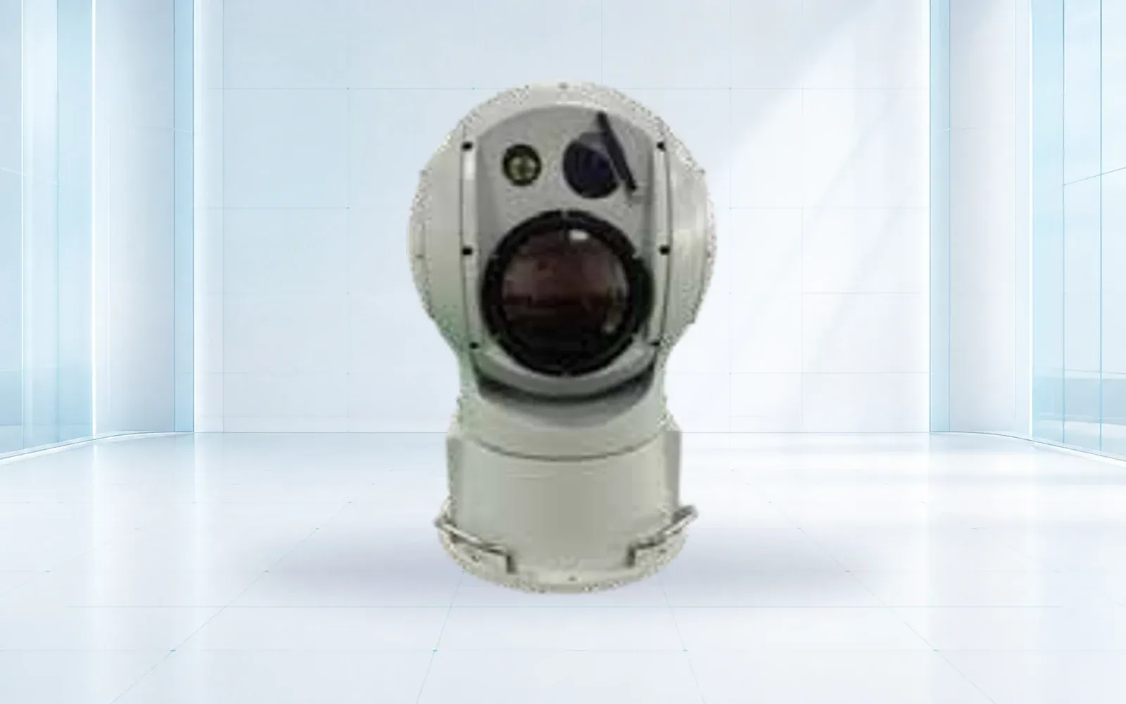
Visual confirmation
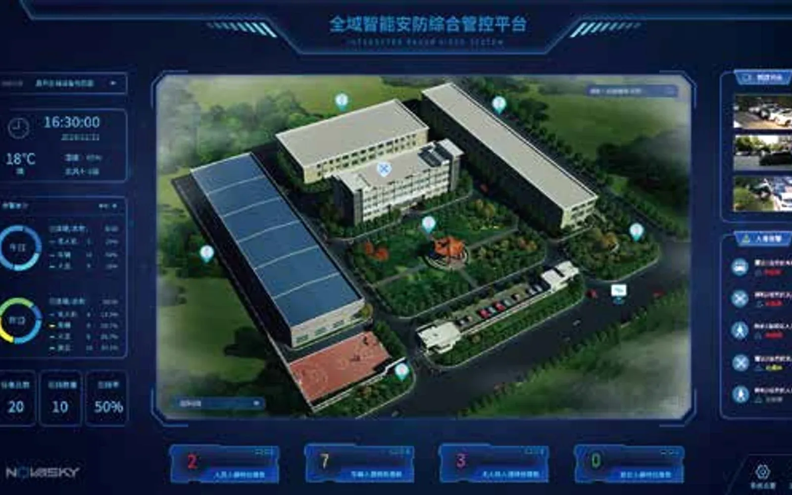
High-security site integration
Technology pillars
Compare OMNI UXV VTOL, multirotor and heavy-lift UAV reference configurations for inspection, mapping, logistics and public-safety missions.
Open category guide →Compare OMNI UXV radar, RF, electro-optical, jamming and navigation-response components for layered low-altitude security projects.
Open category guide →Explore OMNI UXV IRVMS command platforms for site-wide sensor integration, alert verification, mapping and coordinated incident workflows.
Open category guide →No. It can be detection, verification and response coordination only. Active RF or navigation measures require separate legal authority and site engineering.
Terrain, clutter, target profile and line of sight usually prevent a single-sensor answer. Coverage should be modeled and then verified in a representative sector.
Use ground alerts and risk schedules to task aircraft, with shared coordinates, time synchronization, evidence naming and defined handoff to response teams.
Evidence base
These sources provide public-sector or research context. The final project still requires destination-specific engineering, policy and legal review.
U.S. Department of Homeland Security
Official overview of airborne sensing and difficult border environments.
U.S. Department of Homeland Security
Reference for surveillance-system scope and privacy governance.
Share the mission, operating environment, existing systems, destination and required evidence. We will return a traceable architecture and configuration shortlist.
Start a technical inquiry