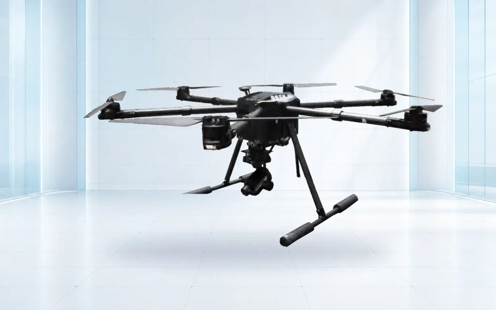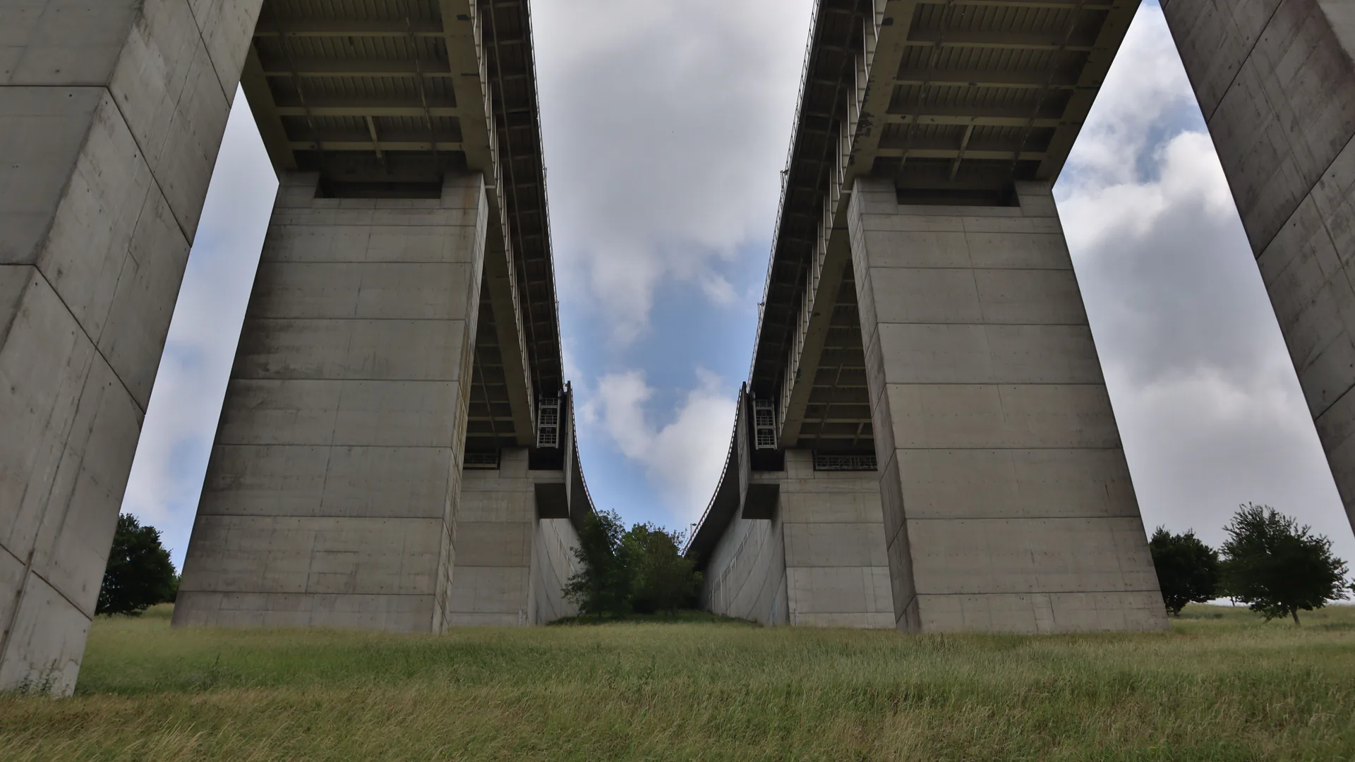
A drone can reduce exposure and improve access to selected bridge surfaces, but a useful bridge inspection still depends on qualified personnel, traceable component records and physical follow-up. The mission should be designed around what evidence a bridge owner needs—not around how close an aircraft can fly.
Table of Contents
- Start With the Bridge Inspection Task
- Build a Component-and-Access Matrix
- Specify Repeatable Image Geometry and Location
- Plan GPS-Poor, Low-Light, and Traffic-Adjacent Flight
- Keep Physical Examination in the Workflow
- Deliver an Evidence Package That Survives Review
- Accept on Coverage, Repeatability, and Escalation
- FAQs
Start With the Bridge Inspection Task
Name the governing inspection program, bridge, inspection type, team leader and decision. A routine inspection, damage assessment, channel overview and targeted documentation of a known deficiency are not the same mission. Each has different coverage, timing and evidence requirements.
For U.S. public-road bridges, the FHWA National Bridge Inspection Standards page is the current federal entry point. FHWA’s NBIS questions and answers state that proven advanced technologies may supplement but not supplant inspection personnel and methods. The same Q&A says UAS cannot currently perform tactile examination such as sounding or hammering, and concerning imagery may require physical investigation.
That boundary should appear in the scope. List which observations the drone supports, which conventional access remains planned, and who decides that additional access is necessary. Do not let a successful flight be mistaken for a completed inspection.
Build a Component-and-Access Matrix
Divide the bridge into stable components and surfaces using the owner’s inventory and inspection conventions. For each, record the required examination, achievable line of sight, minimum stand-off, lighting, cleaning need, traffic or water exposure, and alternative access method.
| Task | Useful UAS contribution | Principal limitation | Planned escalation |
|---|---|---|---|
| Site and channel overview | Repeatable oblique and overhead imagery | Limited subsurface or underwater information | Ground, boat or underwater examination as required |
| Deck edge, bearing area or superstructure surface | Close visible imagery from selected angles | Occlusion, grime, shadows and lack of touch | Cleaning and hands-on access for unresolved areas |
| Crack or surface-defect documentation | Located image series with scale method | Apparent width depends on geometry and calibration | Qualified measurement and condition assessment |
| Suspected delamination or loose material | Visual candidate and context | Imagery cannot sound the member | Physical sounding or approved NDE method |
| Post-event reconnaissance | Rapid overview and access prioritization | Cannot by itself establish structural capacity | Engineer-led damage inspection and controls |
The matrix prevents systematic blind spots. Under-deck utilities, diaphragms, bearing recesses, joints and areas behind members can be inaccessible from a convenient flight corridor. Mark each surface observed, partially observed or not observed; do not convert missing coverage into “no defect found.”
Specify Repeatable Image Geometry and Location
Every close image needs a route back to the bridge component. Store bridge ID, span, member, element or surface, side, station or panel, view direction and capture time. An overview-to-detail sequence helps reviewers confirm that a close-up belongs to the intended location.
Define the smallest condition to be resolved at the planned distance. Image dimensions and digital zoom are not substitutes for demonstrated target detail. Blur, obliquity, lighting, compression and focus can erase a crack or edge even when the pixel count looks adequate.
Measurement from imagery requires a controlled method. A scale marker, calibrated photogrammetry model or known geometry may support dimensions when its uncertainty is documented. Avoid drawing a ruler across an arbitrary oblique image and reporting the result as exact. Store the original media, calibration and software version with any derived measurement.
Plan GPS-Poor, Low-Light, and Traffic-Adjacent Flight
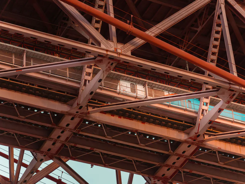
Under a deck or among steel members, satellite geometry, compass behavior, obstacle sensing, light and communications can differ sharply from open-sky flight. Test the installed aircraft beneath representative structure geometry. Define which positioning modes are permitted, how the pilot recognizes degradation and what action follows.
Wind can accelerate around openings and piers. Water, repeating beams and low-texture concrete can challenge perception systems. Dust and loose debris may be disturbed by rotor wash. Establish stand-off limits and approach axes that account for stopping distance and sensor uncertainty; avoid routing a return-to-home maneuver through the structure.
Road and rail users, pedestrians, boats and inspection personnel require an exposure plan. Coordinate traffic control and access with the bridge owner. Lighting must improve evidence without distracting drivers or masking surface texture. The FHWA UAS bridge inspection TechBrief is a useful planning reference, but the actual operator must reconcile its mission with current FAA rules, owner procedures and site controls.
Keep Physical Examination in the Workflow
Drone imagery can prioritize access, but the trigger for physical work must be written before review. Escalate when a surface is obscured, an image suggests section loss or loose material, a defect extent cannot be established, tactile or auditory examination is required, or an observation may change a rating or action.
The qualified inspector should control terminology and severity. Computer vision may flag regions for review, but it should not silently assign element condition or structural significance. Retain rejected candidates and sample them during quality assurance to detect missed families or systematic model error.
When special equipment is the only practical way to reach an area at the required level of detail, the NBIS Q&A explains that such access equipment remains necessary. The value of a drone is to make access more selective and evidence more repeatable—not to erase the parts of inspection that require touch, sound or engineering judgment.
Deliver an Evidence Package That Survives Review
Deliver a coverage map, component register, original media, derived products, flight and sensor configuration, environmental notes, quality failures, unobserved areas and a finding log. Each finding should preserve the original observation, reviewer, location, confidence, required follow-up, completion status and links to subsequent records.
Use controlled naming and versioning. If an image is enhanced for viewing, retain the original and record the processing. If a 3D model or orthographic view is used, document coordinate frame, control, reconstruction quality and areas of poor geometry. The FHWA report on collection of bridge data with UAS helps frame data collection as a method that must produce usable bridge information, not simply flight media.
The maritime drone inspection guide addresses salt, wind and vessel-access constraints. This bridge-specific workflow adds component conventions and the physical-examination boundary. Both can connect to the critical infrastructure protection solution when aerial evidence must enter a broader asset and response system.
Accept on Coverage, Repeatability, and Escalation
Trial representative spans, materials, surface colors, shadows, traffic states and GPS conditions. Include known features and clean surfaces. Score required-view completion, component-ID accuracy, resolvable detail, image rejection rate, repeat-visit alignment, reviewer agreement and time from capture to finding.
Exercise a blocked component, navigation degradation, low-light area and potential urgent defect. Confirm that the team can stop safely, label missing coverage, request conventional access and escalate a finding without losing the original evidence. Acceptance is complete only when data enter the owner’s inspection record and follow-up is traceable.
Compare close-access and broader-site configurations in the industrial UAV category, then contact OMNI UXV with the bridge type, component matrix, required examinations, aviation basis and evidence-delivery format for a representative field trial.
FAQs
Can a drone replace a bridge inspector?
No. In the United States, FHWA states that UAS may supplement portions of a bridge inspection but cannot address all aspects, including tactile examination, sounding, auditory cues and live-load response. Qualified personnel remain responsible for the inspection.
How do drones inspect beneath a bridge without reliable GPS?
The operator needs a tested positioning and control concept using the installed sensors, visual references, lighting, stand-off limits and abort behavior. The mission should not depend on satellite navigation remaining available beneath the deck.
What records should a drone bridge inspection deliver?
Deliver bridge and component IDs, inspection type, required and completed views, original media, capture geometry, scale or measurement method, environmental conditions, unobserved areas, reviewer decisions and physical follow-up status.
When is physical follow-up still required after a drone flight?
Use physical follow-up whenever the inspection procedure requires tactile or auditory examination, when imagery cannot establish extent or severity, when surfaces need cleaning, or when an observation could affect a condition rating, load decision or urgent action.