Maritime suitability is not established by a waterproof label. A useful inspection system must produce traceable evidence around salt, spray, wind, steel geometry, confined access, magnetic disturbance, deck recovery and the acceptance rules of the owner, surveyor or class organization.
Table of Contents
- 1. Define the Inspection Decision and Acceptance Authority
- 2. Separate Weather Resistance From Maritime Suitability
- 3. Plan Flight Geometry Around the Vessel or Offshore Asset
- 4. Specify Image Evidence, Location, and Defect Traceability
- 5. Control Salt, Water, Batteries, and Post-Mission Maintenance
- 6. Decide When UAV, ROV, Rope Access, or NDT Should Take Over
- 7. Run a Representative Maritime Inspection Acceptance Trial
- 8. FAQs
1. Define the Inspection Decision and Acceptance Authority
Identify who will act on the result before choosing the aircraft. A maintenance team may need a repeatable corrosion image; a structural engineer may need dimensions and location; a class surveyor may need an approved remote-inspection process and additional confirmation. These are different evidence contracts.
Divide the asset into stable zones: hull frames, tanks, hatch covers, cranes, flare structures, turbine blades, jacket members or platform modules. Give every zone an identifier shared by drawings, work orders and images. State the required defect class, coverage, image scale, lighting and positional confidence.
Class organizations publish specific expectations for remote techniques. The ABS guidance notes on remote inspection technologies address planning, risk, service suppliers and evidence; DNV likewise distinguishes the use of approved service suppliers. Neither source turns any drone image into automatically accepted survey evidence.
2. Separate Weather Resistance From Maritime Suitability
Ingress protection, salt exposure and operational weather answer different questions. An IP test uses defined conditions. Salt can remain in seams and connectors after the flight, accelerate corrosion and contaminate cooling paths. Wind and spray can obscure imagery or prevent a controlled recovery even when the airframe remains powered.
Create a configuration-specific environmental sheet that covers precipitation, spray, wind, temperature, battery limits, connector caps, camera windows, payload openings and the procedure after exposure. Require the supplier to identify which limits are tested, calculated or operational recommendations.
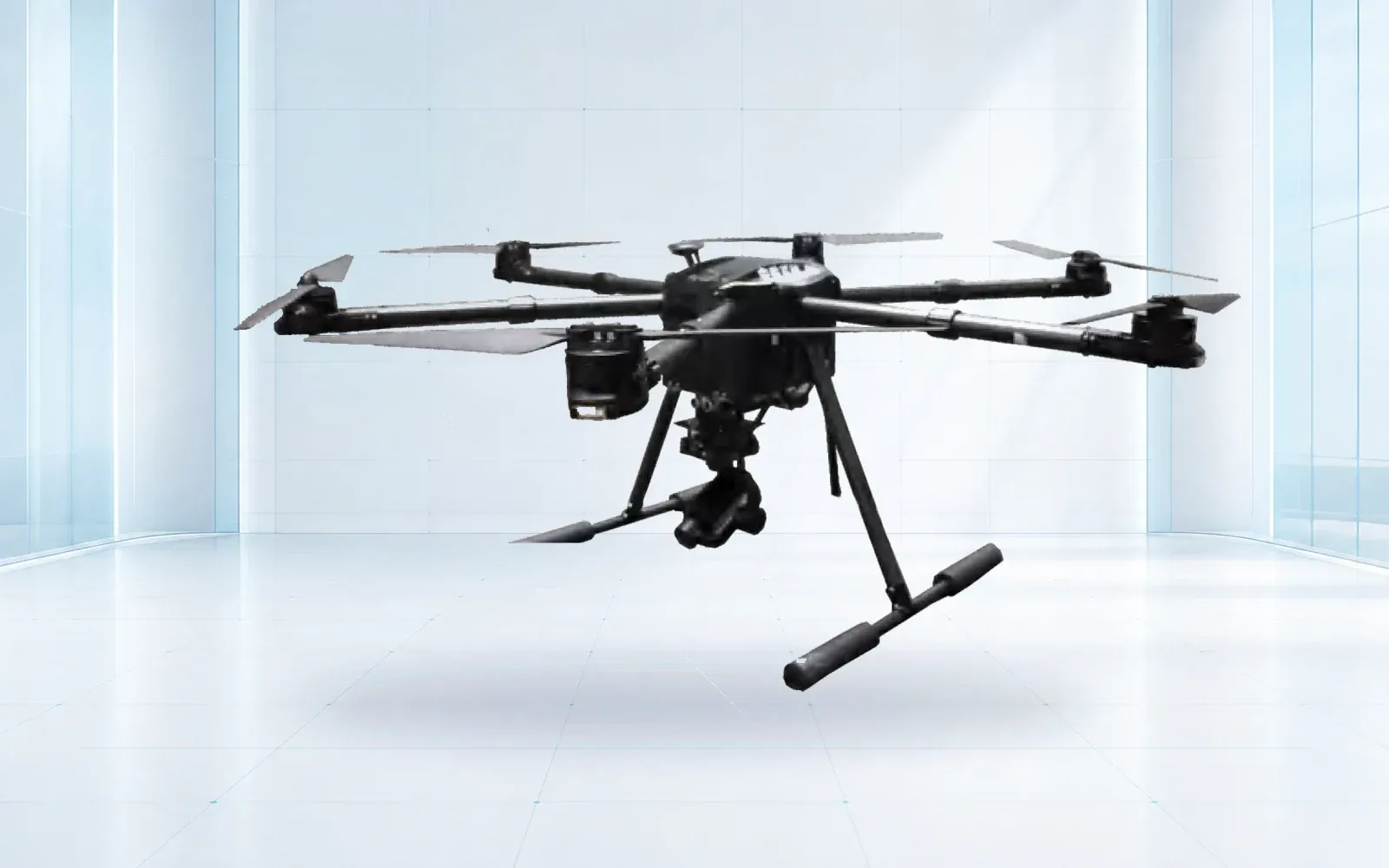
The F4 waterproof multirotor can be considered as a reference configuration, but its suitability must be checked against the exact payload, inspection zone and maintenance evidence. Do not infer salt-fog endurance or a sea-state limit from a generic waterproof description.
3. Plan Flight Geometry Around the Vessel or Offshore Asset
Steel superstructures create narrow corridors, changing wind, GNSS blockage, multipath and magnetic disturbance. A vessel may move relative to the world while the inspection target remains fixed to the vessel. Decide whether the pilot references earth coordinates, the asset’s local frame, or direct visual geometry.
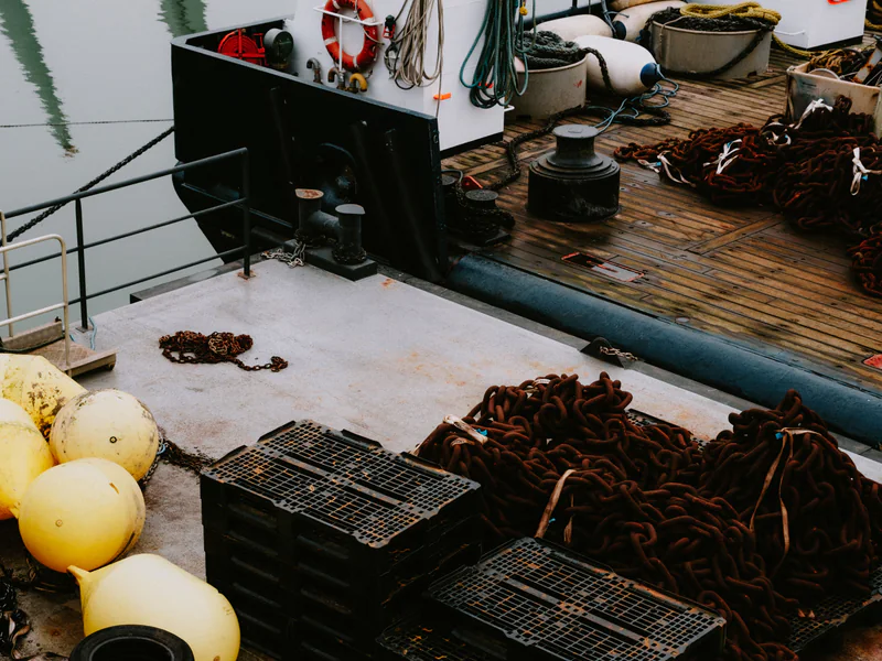
Map launch and recovery separately from the inspection path. Deck obstacles, antennas, cranes, exhaust, personnel and moving equipment can make the shortest approach unusable. For an internal tank or confined structure, check lighting, collision tolerance, dust, ventilation and the possibility of retrieving a disabled aircraft.
Record planned stand-off distance, viewing angle and overlap for each zone. Changes made in flight should be logged so reviewers know whether an apparent absence of damage is a true observation or a coverage gap.
Bridge work adds a formal component register and a firm boundary between aerial imagery and required physical examination. The drone bridge inspection guide develops that supplementary-evidence workflow for difficult under-deck and member access.
4. Specify Image Evidence, Location, and Defect Traceability
Set image quality from the smallest defect or condition that must be reviewed. Resolution at the sensor does not guarantee resolution on the surface: distance, angle, motion blur, focus, lighting, compression and haze all reduce usable detail.
Each observation should retain asset ID, zone, time, camera configuration, original file, approximate position or local reference, viewing direction, scale and reviewer status. Preserve negative coverage and rejected frames instead of delivering only a highlight reel. A defect should be relocatable by another crew without relying on the first pilot’s memory.
Use consistent naming and an annotation vocabulary that separates observation from engineering assessment. “Coating discontinuity at frame 42” is an observation; the cause, severity and repair decision belong to the responsible engineer or surveyor.
5. Control Salt, Water, Batteries, and Post-Mission Maintenance
Define a post-flight sequence before mobilization. It may include safe battery removal, surface rinse or wipe where approved, drying, connector inspection, camera-window cleaning, corrosion check, log download and quarantine after suspected ingress. Follow the airframe and payload manuals; an improvised rinse can push contamination deeper or damage a coating.
Track exposure by aircraft and component, not just by flight hour. A short spray event can matter more than a long dry flight. Battery charging areas on vessels also need fire separation, ventilation, restraint and a method for handling damaged packs.
Maintenance acceptance should include corrosion-prone fasteners, seams, motors, payload mounts and data connectors. Trend faults and image degradation across missions so salt-related deterioration is found before it becomes a dispatch failure.
6. Decide When UAV, ROV, Rope Access, or NDT Should Take Over
Choose methods by the evidence needed, not by a goal to maximize drone use.
| Method | Best evidence role | Main boundary | Typical handoff |
|---|---|---|---|
| Exterior aerial UAV | Wide and close visual coverage above water | Wind, line of sight, surface angle and recovery | Mark zones for close review or NDT |
| Confined-space UAV | Visual access inside tanks or enclosed volumes | Lighting, dust, collision and retrieval | Request rope-access or NDT confirmation |
| ROV and sonar | Below-water geometry and close observation | Tether, current, visibility and positioning | Cleaning, contact measurement or engineering review |
| Rope access or diver | Tactile work and qualified close procedure | Human exposure and access duration | Direct measurement or repair |
| Contact NDT | Material or weld condition measurement | Surface preparation and qualified coupling | Engineering acceptance or repair decision |
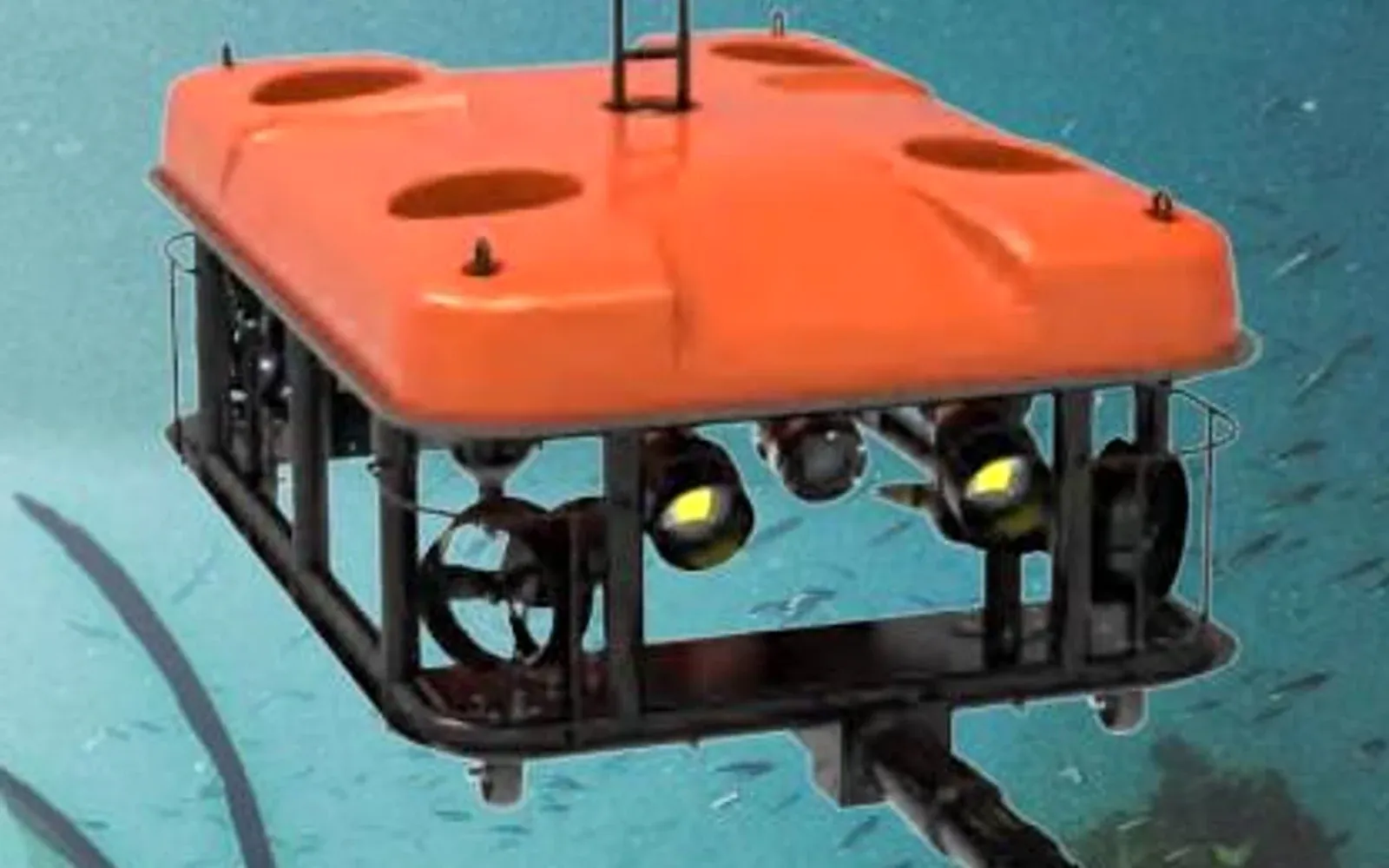
The underwater ROV category and G70 work-class ROV provide underwater follow-up context. The port asset inspection lifecycle explains how above- and below-water records should share asset identity without pretending the methods are interchangeable.
7. Run a Representative Maritime Inspection Acceptance Trial
Test a real asset zone with representative wind, lighting, steel geometry and crew workflow. Score coverage, usable image rate, defect relocation, missed and false annotations, flight interruption, recovery time, data completeness and post-flight maintenance. Include a negative area and a known reference feature rather than testing only obvious damage.
Ask the intended reviewer to judge the deliverable, not just watch the flight. The acceptance package should include the plan, deviations, environmental log, raw media, processed outputs, defect register, blind areas, equipment configuration and maintenance record. Record which findings still require another method.
For underwater scope, use the underwater inspection evidence guide; for complete port planning, start from the port and water security solution. To review an actual maritime inspection package, contact OMNI UXV with the asset zones, acceptance authority, environmental limits and required evidence.
8. FAQs
Is a waterproof drone automatically suitable for offshore inspection?
No. An ingress rating addresses defined water and dust tests; it does not by itself establish salt-corrosion resistance, recovery safety, allowable wind, long-term connector reliability, sensor performance or post-flight maintenance for a maritime mission.
What evidence should a maritime drone inspection deliver?
Deliverables should identify the asset and inspection zone, coverage and blind areas, image scale and quality, defect location and dimensions, environmental conditions, aircraft and sensor configuration, raw media, annotations and the review or acceptance status.
Can a drone inspection replace a class survey or NDT examination?
Only when the responsible authority accepts the remote method for that scope and the evidence meets its requirements. Visual imagery cannot replace contact NDT or a mandated surveyor decision merely because it was collected by a drone.
When should an ROV be used instead of an aerial drone?
Use an ROV when the target is below water or when acoustic imaging, stable close observation, cleaning, manipulation or qualified underwater NDT is required. The handoff should preserve asset identity and coordinates.