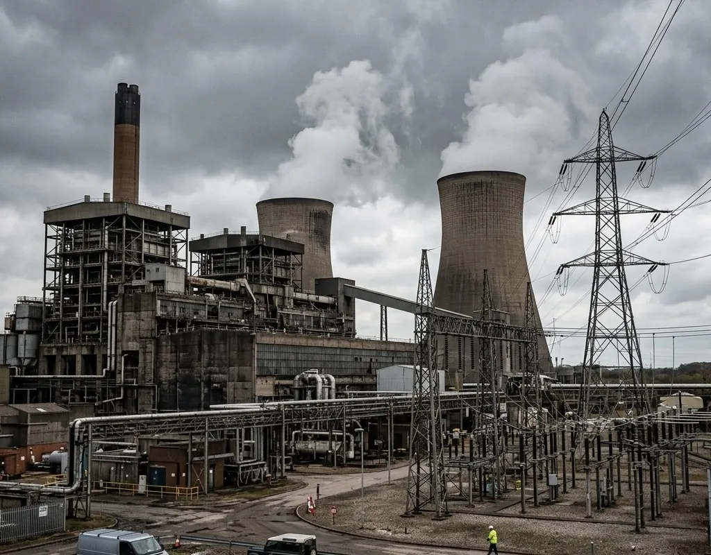
Consequence differs by asset state
The same perimeter event can have very different meaning around an operating process, maintenance outage or public interface.
High-consequence sites · Reference architecture
A multi-sensor operating model for perimeter, low-altitude, inspection and incident coordination around energy, water and public infrastructure.
Operating context
Critical sites need reliable detection, but the larger risk is fragmented operations: separate alarms, unclear ownership and evidence that cannot be correlated. A defensible design begins with asset consequence and incident workflow.
The architecture combines site sensors with targeted aerial inspection and a command layer. Cybersecurity, network zones, maintenance access and degraded operation are designed with the physical sensors.
Problem definition
These challenge areas determine the architecture, operating model and acceptance evidence for the site.
The same perimeter event can have very different meaning around an operating process, maintenance outage or public interface.
Sensors, identities, video, operational networks and maintenance paths create dependencies that need common ownership and controlled interfaces.
A silent connector, obstructed sensor or lost time source can create false confidence unless health is part of the operating picture.
Layered architecture
Product references show a viable starting point. Interfaces, quantities, ranges and legal availability are confirmed during project engineering.
VTOL or multirotor aircraft inspect corridors, roofs and difficult-to-access assets.
Radar, RF and visual sensors build a layered picture around protected airspace.
Non-contact radar or GNSS monitors slopes, structures or foundations where movement risk exists.
IRVMS maps events, applies rules and supports acknowledgement, dispatch and evidence retention.
Operating model
The operating model gives every sensing and platform layer a defined input, handoff and output.
Connect assets, services, process states, hazards and existing detection or inspection systems.
Output: Consequence and dependency model
Use perimeter, low-altitude, aerial and condition-monitoring layers for defined events.
Output: Coverage and evidence architecture
Freeze protocols, identities, time, network zones and evidence paths.
Output: Reviewed integration baseline
Run representative incidents and sensor, network, storage or staffing outages.
Output: Operational and recovery acceptance
Implementation sequence
The sequence is intentionally phased so that site facts, interfaces and operator behavior can change the design before broad deployment.
Map assets, hazards, existing systems and required response times.
Confirm protocols, identities, network zones, logs and recovery behavior.
Test representative incidents, nuisance alarms, outages and evidence export with site operators.
These are design outcomes, not a claim that a specific result has already been achieved at an unnamed customer site. Project acceptance criteria are agreed for the configured system.
Acceptance matrix
| Area | Requirement | Evidence |
|---|---|---|
| Detection and inspection | Priority events and asset conditions produce the required evidence. | Scenario and inspection output |
| Correlation | Sensor events share correct time, asset and incident context. | Cross-system event timeline |
| Cyber-physical boundary | Integration uses approved identities, routes, permissions and logs. | Architecture and access review |
| Resilience | Operators recognize and manage loss of critical sensing or platform functions. | Degraded-mode exercise |
Equipment context

Survey and mapping platform
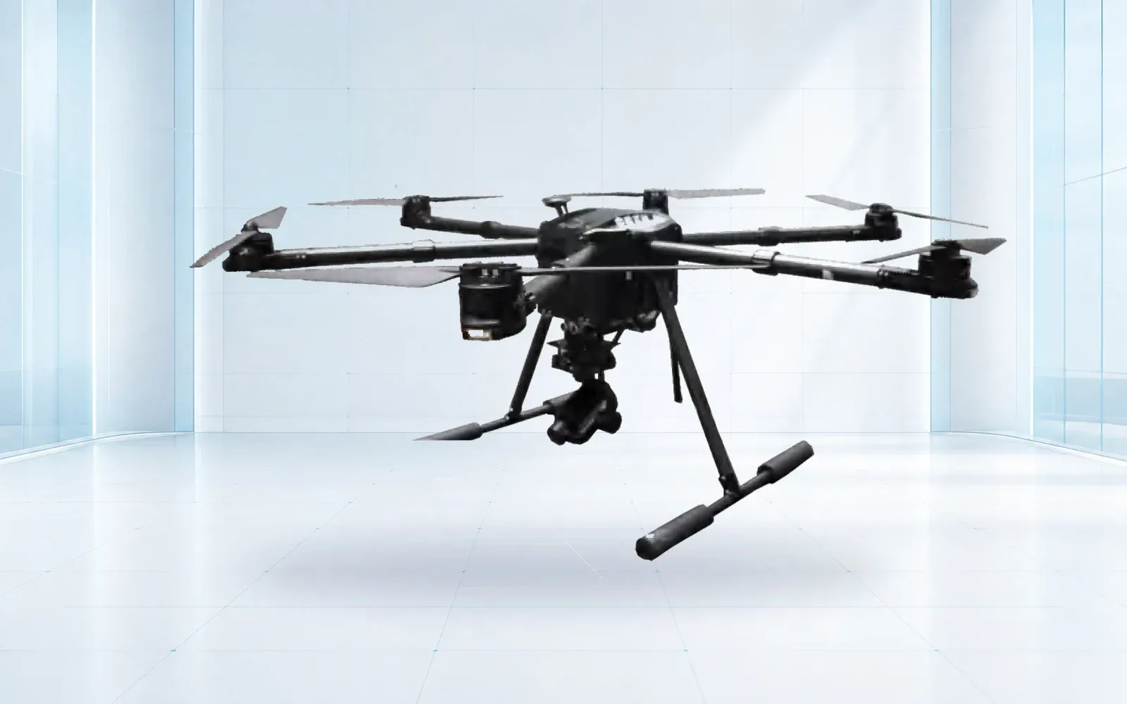
All-weather multirotor
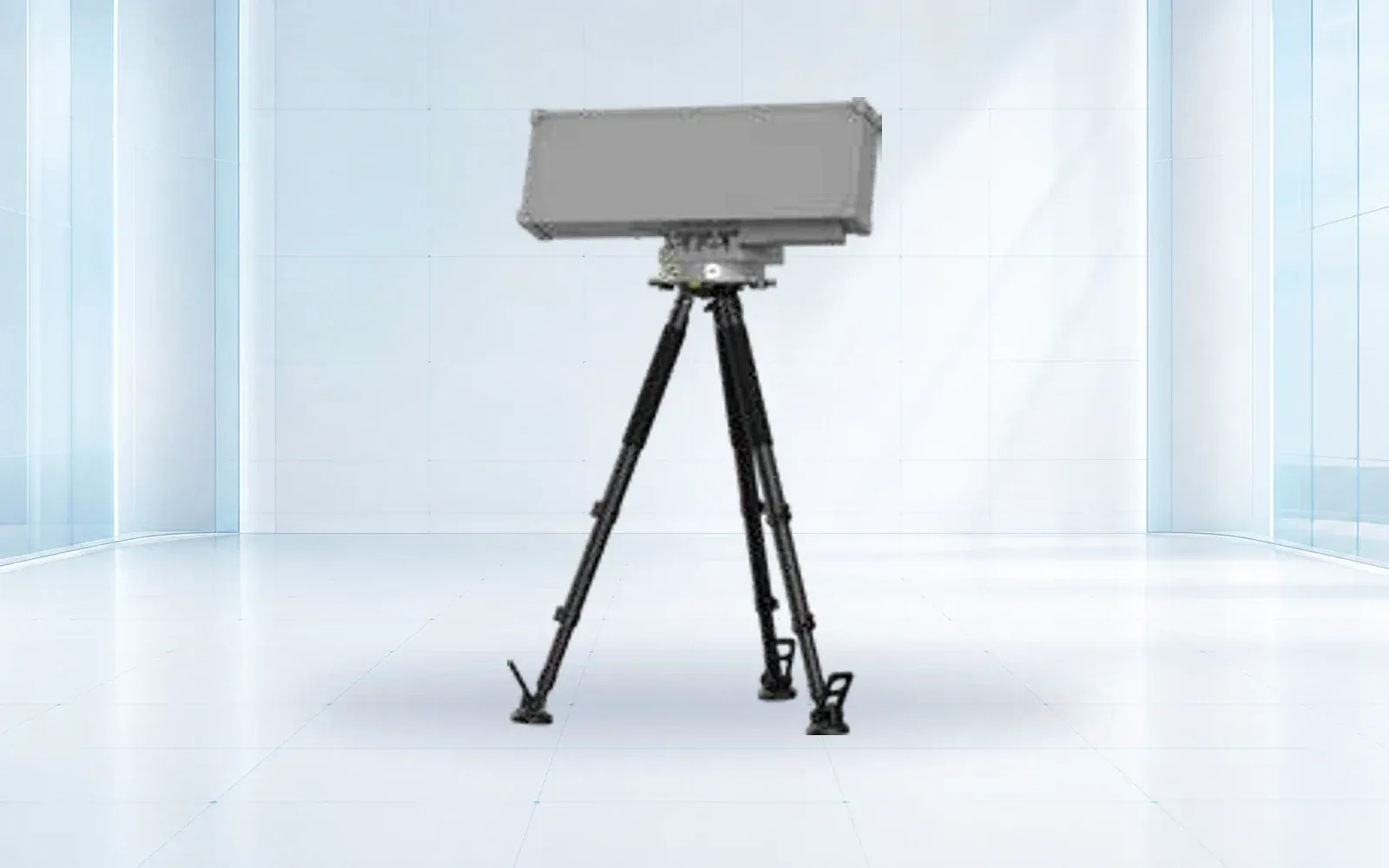
Low-altitude detection
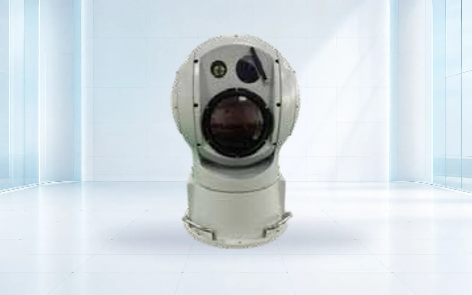
Visual confirmation
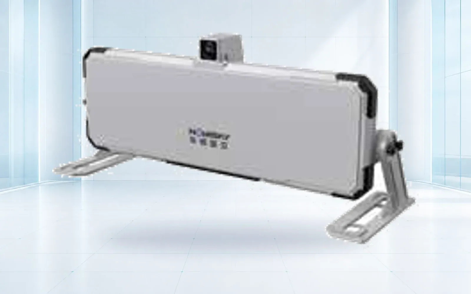
Fast-update deformation radar
Point displacement monitoring
Technology pillars
Compare OMNI UXV VTOL, multirotor and heavy-lift UAV reference configurations for inspection, mapping, logistics and public-safety missions.
Open category guide →Compare OMNI UXV radar, RF, electro-optical, jamming and navigation-response components for layered low-altitude security projects.
Open category guide →Compare OMNI UXV slope radar, structural monitoring, laser scanning and GNSS instruments for mines, slopes, dams and emergency sites.
Open category guide →Explore OMNI UXV IRVMS command platforms for site-wide sensor integration, alert verification, mapping and coordinated incident workflows.
Open category guide →Replacement is not assumed. The project first evaluates available APIs, event semantics, cybersecurity boundaries and whether coexistence or phased migration is safer.
No. Security-platform reference configurations are project-engineered and can be evaluated for on-premises or controlled hybrid use.
Use representative event scenarios, sensor-to-platform latency, verification time, nuisance-alarm rate, outage behavior and evidence retrieval.
Evidence base
These sources provide public-sector or research context. The final project still requires destination-specific engineering, policy and legal review.
Cybersecurity and Infrastructure Security Agency
Official resilience, assessment and exercise resources for infrastructure owners.
Cybersecurity and Infrastructure Security Agency
Planning framework for threats, dependencies, adaptation and stakeholder coordination.
Share the mission, operating environment, existing systems, destination and required evidence. We will return a traceable architecture and configuration shortlist.
Start a technical inquiry