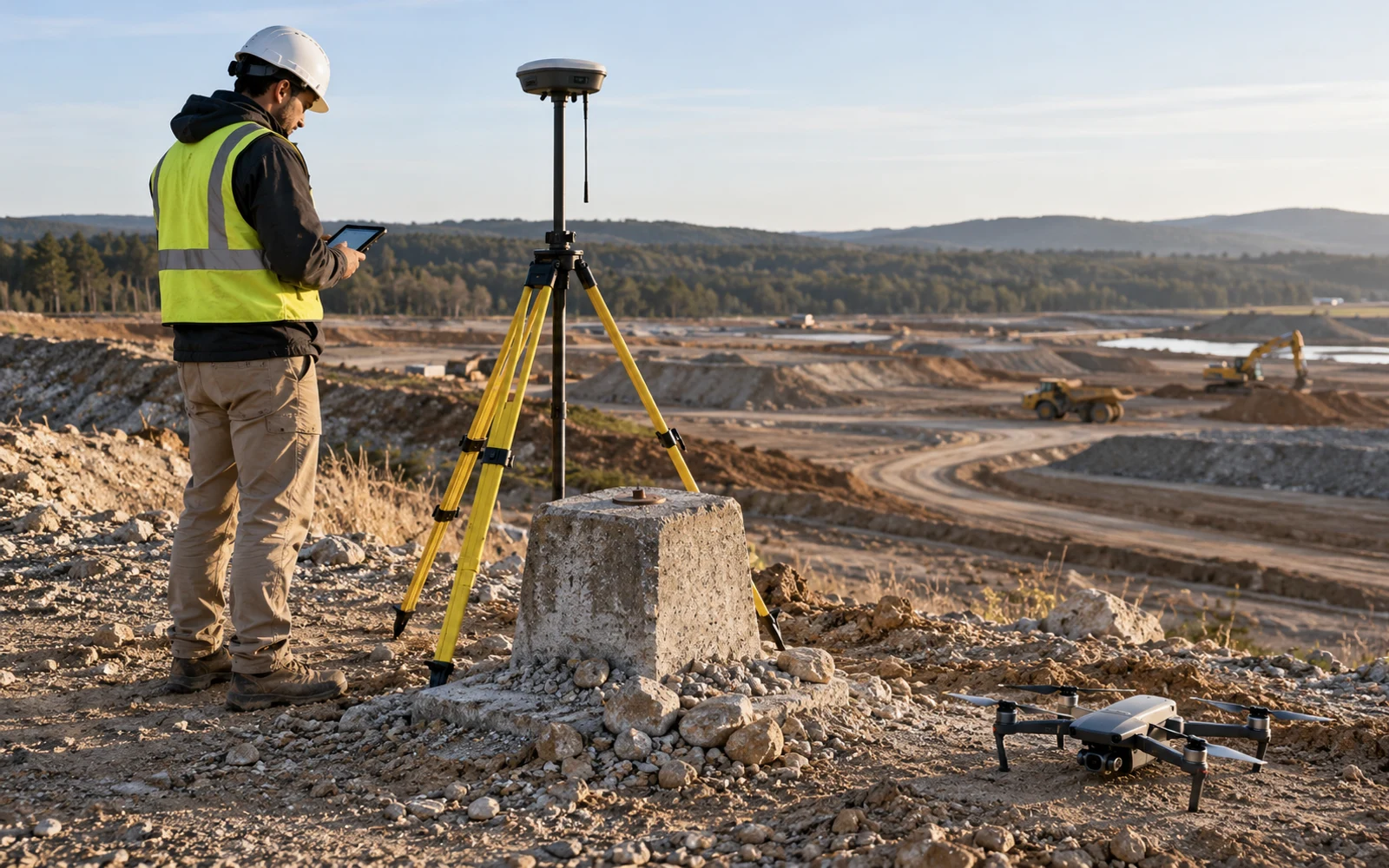
A drone survey needs a height reference compatible with the receiving design or mapping system. Identify the recorded height type, transformation and geoid model, then compare the delivered elevations with independent control in the required datum.
Table of Contents
Which height does the file contain?
Start with the height reference, not the number of decimal places. An image geotag, GNSS antenna position, camera center and terrain point are different objects; their elevations may also use different reference systems. A field named “altitude” is not enough to establish compatibility.
Ask the survey supplier to trace one observation from acquisition to the final surface. Record the reference frame, height type, units, antenna or camera offsets where relevant, and every transformation. If the client uses a local site datum, obtain its definition and the surveyed relationship to external control.
This page addresses that handover problem. The RTK and PPK comparison explains how correction workflows differ; neither workflow by itself defines the client’s required elevation reference.
How do ellipsoidal and orthometric heights relate?
With compatible references and the usual geoid-height convention, the basic relationship is H ≈ h − N: orthometric height H is ellipsoidal height h minus geoid height N. The NGS explanation of GPS and orthometric heights establishes the relationship. That historical explanation supports the geometry, not a recommendation to use its historical geoid model.
For an illustrative point, let h = 112.400 m and N = −28.600 m. Then H = 141.000 m. The negative sign matters. Subtracting the magnitude without its sign would produce a different, incorrect answer. These invented values demonstrate arithmetic; they are not a location-specific correction.
A model must match the reference frame and geographic area. The NGS GEOID18 computation page, for example, identifies its accepted input reference and geographic coverage. Do not apply a model worldwide merely because processing software offers it in a menu. Use the project’s specified, applicable reference system and transformation.
A geoid model is not an accuracy certificate
Correctly converting height does not remove photogrammetric error, uncertain control, vegetation effects or a disturbed benchmark. Conversely, a consistent height discrepancy does not prove that the aircraft needs recalibration. Keep reference compatibility separate from measurement uncertainty.
A height-reference handover matrix
This proposed worksheet makes an otherwise invisible processing choice reviewable. Complete it for each source dataset, not just the final export.
| Item | Record explicitly | Acceptance check |
|---|---|---|
| Image or trajectory heights | Reference frame, height type, units, epoch where relevant | Compare metadata with the positioning workflow |
| Ground control | Coordinate source, monument ID, survey method and uncertainty | Confirm the control file uses the intended reference |
| Transformation | Input/output references, model file, version and direction | Reproduce a small set of transformed points independently |
| Delivered surface | Vertical reference, units, surface type and processing version | Open it in the receiving system and inspect metadata |
| Checkpoints | Independent observations and residual convention | Compare across elevations and the full area |
| Exceptions | Local datum, incomplete metadata or excluded coverage | Agree limitations before engineering use |

Assign an owner to every unresolved field. “Same as last month” is not a durable record when a base station, coordinate service or processing workstation has changed. Keep the worksheet with the delivery rather than in a technician’s private notes.
Diagnose an offset before reprocessing
Inspect the pattern of residuals. A near-uniform offset suggests checking reference definitions, applied offsets and units early, but it is not a unique diagnosis. A spatial trend, edge distortion or surface-dependent discrepancy calls for additional investigation of control geometry, reconstruction and terrain representation.
Choose checkpoints that were not used to force the adjustment to fit. Calculate residuals with one declared convention, such as delivered elevation minus independent elevation. Preserve failed checks and document why an observation was rejected. Avoid correcting the entire surface until the cause has been identified.
Reprocessing can accidentally apply the same correction twice. Compare the original input, the software’s internal coordinate handling and the final export. Test a small subset first. If point cloud, mesh and elevation raster are delivered together, confirm that all underwent the intended reference treatment.
Deliver a reproducible transformation
The practical acceptance test is a second person reproducing the result from retained files. Provide the transformation configuration, required model, software version, source coordinates and checkpoint report. Preserve untouched input and give transformed output a distinct version.
Agree on the receiving engineer’s coordinate and height requirements before flight planning. The handover should connect the delivered elevations to their reference, transformation and independent checks.
Can this elevation product be combined with the intended design or previous survey without an unexplained reference shift? If not, resolve the mismatch before the surface enters volume, clearance or drainage calculations.
FAQs
Is a drone's GPS height the same as project elevation?
Not necessarily. GNSS generally determines an ellipsoidal height, while a project may require an orthometric height or a local engineering reference. Check the exported metadata and transformation history.
Can a constant offset correct every vertical datum mismatch?
No. A constant offset may fit a small checked area, but geoid variation, reference-frame differences and other errors can vary spatially. Use the specified transformation and independent checks across the project.
What should accompany a transformed drone surface?
Include source and target references, units, applicable epoch, transformation method and model version, checkpoint results, software settings and unmodified source data.