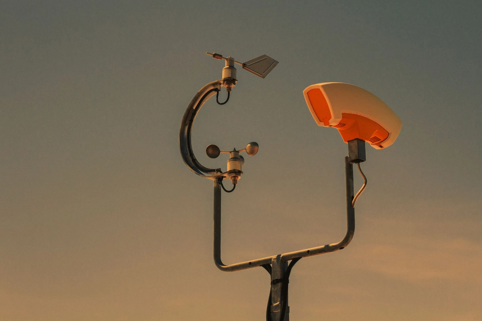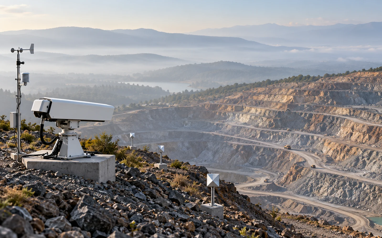
Atmospheric correction can reduce propagation effects in ground-based radar measurements, but its value must be judged by what remains after correction. A useful acceptance record preserves the raw observation, the correction model, reference selection and independent residual checks across the conditions the site actually experiences.
Table of Contents
Why does atmosphere affect a displacement measurement?
Changes in propagation along the radar path can alter measured phase without an equivalent movement of the target. Temperature, pressure and water-vapor conditions contribute to that environment, and spatial variation can matter.
A ground-radar study by Wang and colleagues examined spatially varying meteorological disturbance and a correction method for its experimental setting. It supports reviewing variation across the scene; its numerical results are not a performance guarantee for another site or commercial system.
Atmospheric effects are only one possible cause of a changed return. Surface moisture, vegetation, moving machinery, coherence loss and reference motion also deserve investigation.
Define what the correction is allowed to assume
Ask the supplier to identify the model inputs, reference selection, spatial assumptions, update interval and quality indicators. The operator should know when the system can no longer support those assumptions.
A weather station beside the radar provides local observations. It does not necessarily describe the full path to every target across a valley. Likewise, a reference that is stable during commissioning can later be affected by excavation or structural change.
Treat reference selection as a controlled configuration. Record additions, removals and the engineering basis for assuming stability. A quiet-looking point is not automatically a physically stable point.
What residuals should be reviewed?
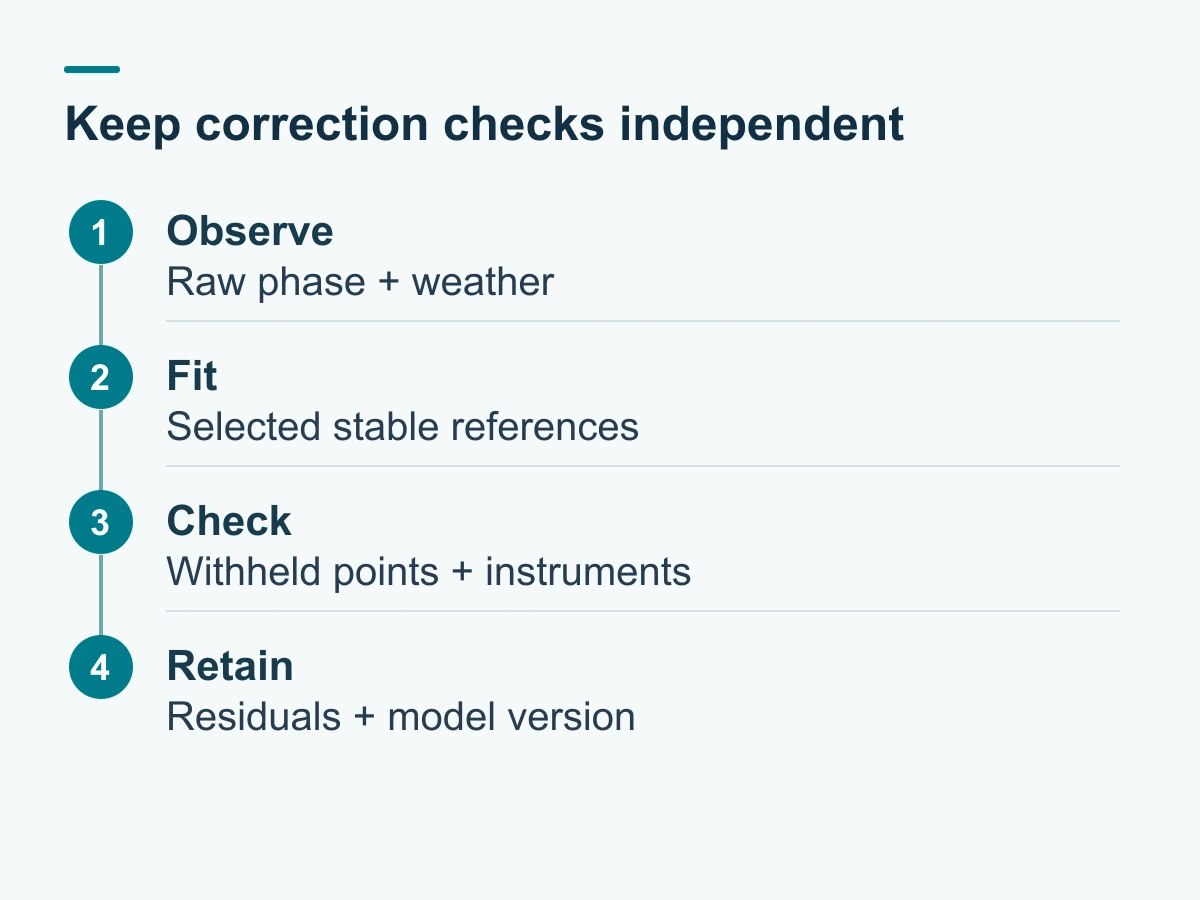
Review residuals on checks that did not determine the correction where feasible, along with independent instruments and physical site observations. Break results down by range, azimuth, elevation and environmental period.
| Review item | Useful evidence | Failure that an average can hide |
|---|---|---|
| Near and far references | Residual series by distance | Range-dependent bias |
| Different azimuth sectors | Separate sector summaries | Localized propagation behavior |
| Weather transitions | Time-aligned environmental logs | Short disturbances averaged away |
| Withheld checks | Results outside the fitting set | Overfitting the reference observations |
| Known configuration changes | Before/after processing versions | Artificial discontinuity |
| Independent displacement | Comparable location and time | Suppression of real movement |
Specify the summary statistics and treatment of gaps before the trial. A standard deviation alone can look favorable even when a slow bias remains.
Preserve the raw and corrected records
Keep raw observations or the most upstream export the system supports, corrected results, model version, reference IDs and data-quality flags. This enables another reviewer to distinguish a changed interpretation from a changed measurement.
When a processing update revises a historical curve, retain the previous result and identify the affected interval. Do not silently splice the revised curve into a cumulative displacement record.
How should degraded correction affect operations?
The system should expose degraded quality distinctly from a low-displacement result. Define who reviews the condition, which observations remain usable and which independent measurements support the response.
Do not automatically dismiss a concerning pattern as weather because it coincides with rain. Equally, do not label every weather-associated phase change as ground motion. The alarm-design article connects evidence quality with the site’s response process.
Accept the installed method across representative conditions
Use the slope radar acceptance workflow to define the trial period and its limitations. If commissioning misses important seasonal conditions, record the gap and the later verification requirement.
Keep the reference map, correction settings, residual assessment and version history with the monitoring configuration. This allows a later reviewer to distinguish a changed correction from a changed slope.
FAQs
Does a smooth corrected displacement curve prove the correction is right?
No. Smoothing or an unsuitable reference model can suppress real change. Review withheld references, raw data and independent measurements.
Can one weather sensor characterize the entire radar path?
Not necessarily. Local conditions at the instrument may differ from conditions across the observed area. Validate the correction over relevant ranges and directions.
Should every reference target be used to fit the correction?
Keep independent checks where feasible. A model's fit to its own reference set is not the same as validation on observations outside that fit.