Photogrammetry camera calibration estimates the geometric relationship between image pixels and viewing rays. A model that fits its own observations can still produce a distorted reconstruction. Acceptance therefore needs a controlled camera state, interpretable diagnostics and checks that were not used to fit the model.
Table of Contents
What does camera calibration estimate?
Geometric calibration estimates how a camera maps scene directions onto its sensor. The model commonly includes focal length, principal-point position and lens-distortion terms. It is different from radiometric calibration, which concerns image intensity, and from calibrating a drone’s inertial sensors.
A processing workflow may optimize camera parameters together with image positions and orientations. Pix4Dmatic’s calibration documentation distinguishes those internal and external parameters and the confidence assigned to them. A factory value, a laboratory calibration and a value estimated from the current image block are different evidence, even if all are called “calibration.”
For a project, identify which parameters are fixed, which are adjusted and what information constrains them. Do not assume an accurately positioned camera removes the need for a suitable lens model. The RTK/PPK survey guide addresses camera-position evidence rather than the entire imaging geometry.
Why can a low reprojection error mislead?
A low reprojection error shows that the chosen model explains the measured image points closely. It does not independently establish the shape or absolute accuracy of the reconstructed surface.
Parameters can compensate for one another. Pix4D’s discussion of parameter correlation identifies uniform geometry, flat terrain, similar image orientations and the distribution of control or tie points as relevant conditions. It also notes that some correlation, especially among radial-distortion terms, is expected. A correlation plot is therefore a diagnostic, not a universal rejection rule.
Consider an illustrative comparison: two adjustments fit image observations similarly, but one produces a broad vertical trend across withheld checkpoints. Choosing that adjustment because its reprojection error is slightly lower would prioritize the fitted observations over the independent evidence. Investigate coordinate assumptions, weights, camera grouping and geometry before accepting either result.
Freeze the camera state before comparing models
Record camera and lens identity, image dimensions, focus or zoom state, stabilization settings and any image correction applied before import. A calibration belongs to a defined imaging configuration. Resizing or cropping images without updating the model can break that relationship.
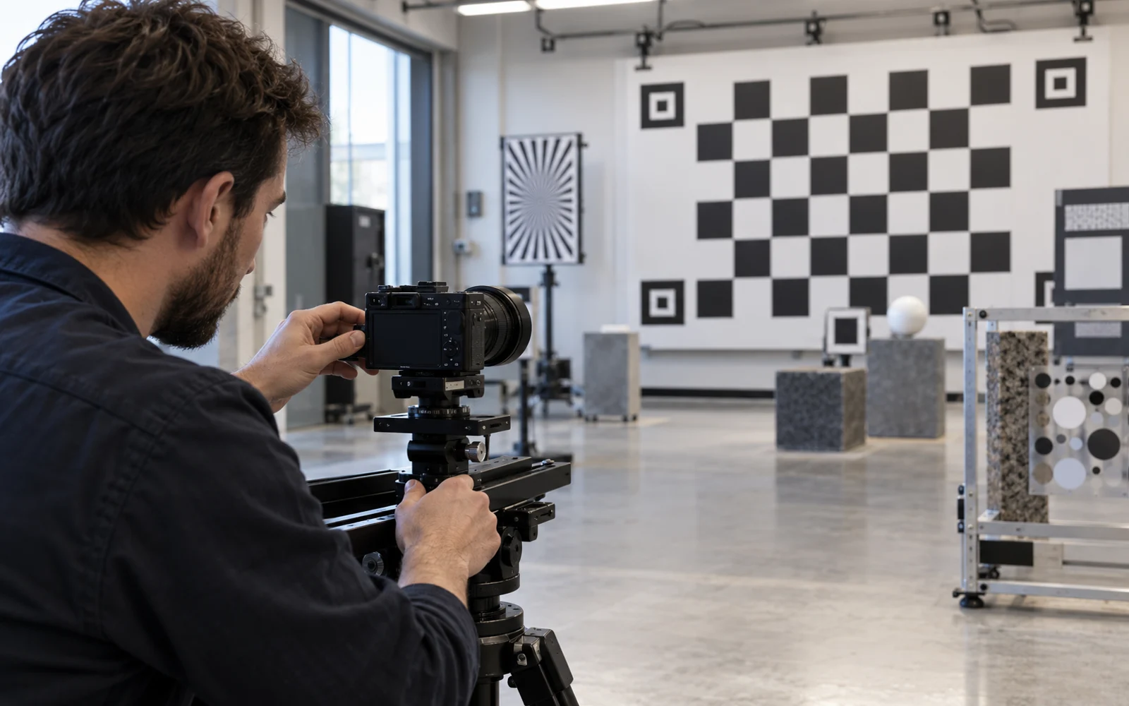
PhotoModeler’s calibration-image guidance emphasizes maintaining the lens setting, covering the image area and varying camera roll in its calibration workflow. Apply the relevant instructions for the software and camera actually used; do not transfer a laboratory procedure blindly into an aerial mission.
For mixed cameras or changed lens states, document the grouping rule and why each group can share parameters. Preserve original images and metadata. Keep trial adjustments reproducible so that another processor can identify the change that improved, or degraded, the result.
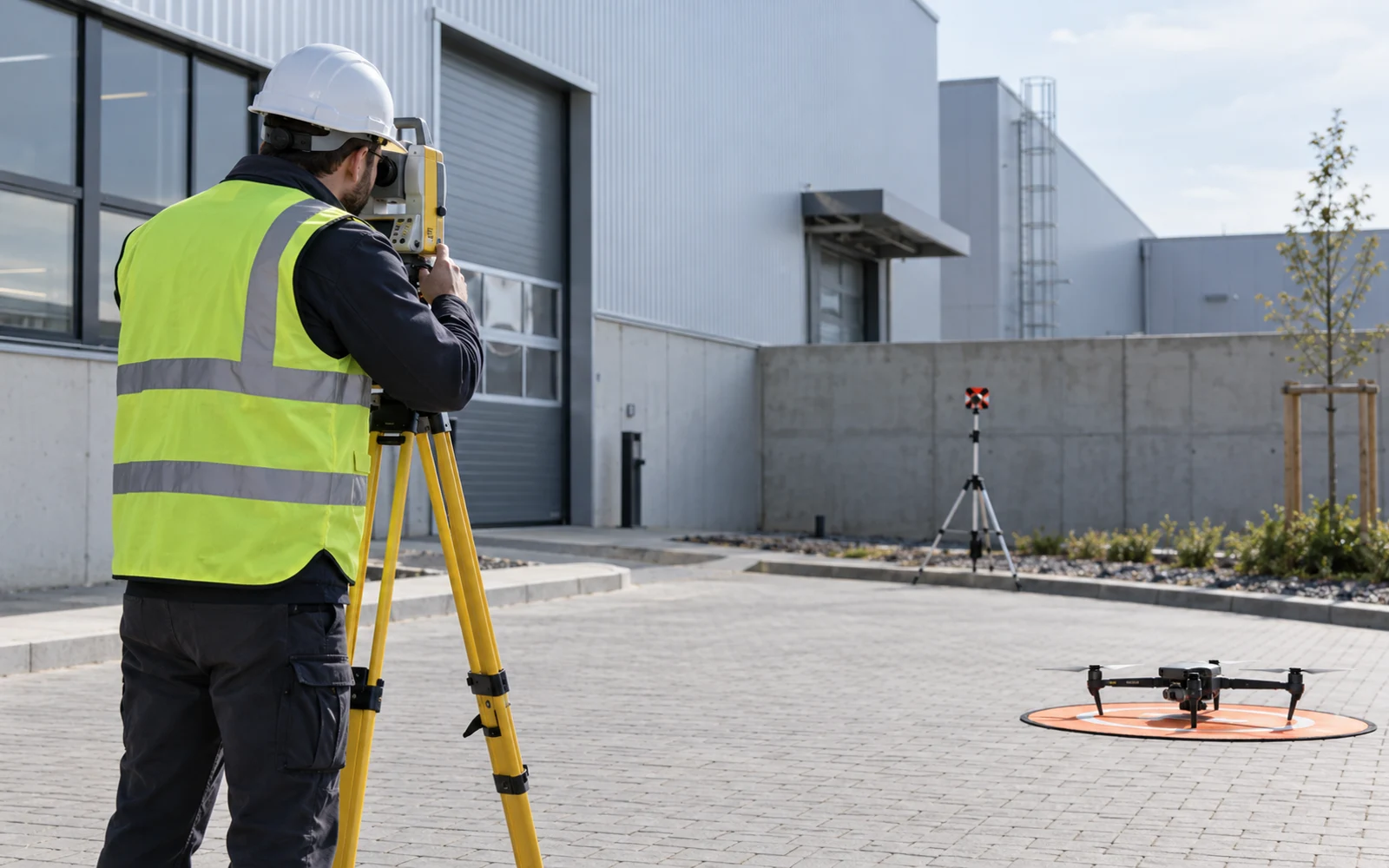
An evidence ladder for accepting calibration
Use the sequence below to assess the camera model against the required survey output.
| Evidence layer | Question it answers | What it cannot establish alone |
|---|---|---|
| Camera identity and configuration | Does the model belong to these images? | Accuracy of this survey block |
| Calibration priors and model type | Which parameters and assumptions entered adjustment? | That the priors remained applicable |
| Image residuals and tie-point coverage | Where does the model fit poorly? | Independent ground accuracy |
| Parameter changes and correlations | Are estimates stable and interpretable? | A universal pass/fail decision |
| Withheld checkpoints | How does reconstructed geometry compare with independent positions? | Accuracy everywhere outside their coverage |
| Spatial residual review | Is there a directional or regional pattern? | The cause without further diagnosis |
Set checkpoint locations and the acceptance method before optimizing the project. If points are used to fit or repeatedly tune the model, explain that role; do not continue describing them as an untouched final test set.
When should a calibration be revisited?
Revisit the model after relevant hardware, focus, image-format or correction changes, and when independent checks reveal a systematic mismatch. Avoid assigning every camera an arbitrary recalibration interval without evidence about its stability and use.
A trial with more tightly constrained parameters can be informative, but a better-looking surface is not validation. Compare independent residuals, regional trends and the intended deliverable. Preserve the rejected trial and reason rather than silently replacing the processing history.
Deliver the model and its limits
Include camera groups, initial and optimized parameters, software version, processing choices and checkpoint results with the deliverable. Identify the measurements used to fit the model and the independent observations used to check the reconstruction.
The handover should connect the calibration model with its input images, configuration and independent checks. That relationship lets the receiving team assess the geometry of the delivered reconstruction.
FAQs
Is camera calibration the same as georeferencing?
No. Calibration concerns camera geometry, such as focal length, principal point and lens distortion. Georeferencing places the reconstruction in a coordinate frame. The two can interact during adjustment, but one does not verify the other.
Does low reprojection error prove survey accuracy?
No. It describes agreement between modeled and observed image positions within the fitted dataset. Independent checkpoints and spatial error patterns are needed to evaluate the resulting survey geometry.
When should an existing calibration be reviewed?
Review it after relevant changes to the lens, focus, image dimensions, processing or camera hardware, and when independent checks or parameter behavior indicate a mismatch. There is no universal calendar interval for every camera and workflow.