A slope monitoring radar quote should cover the monitored decision, line-of-sight geometry, installed radar and base, power and communications, software and integration, baseline and tuning, alarm operations, support, relocation, and site acceptance. The sensor price alone is not the program cost.
Table of Contents
Define the Decision the Radar Must Support
State the monitored slope, personnel and equipment exposure, geotechnical domains, failure modes, update need, warning workflow, operating hours, and actions. Radar may support awareness, trend review, exclusion management, evacuation, blast or work planning, or investigation. These decisions demand different coverage, latency, availability, and staffing.
Build the requirements with the responsible geotechnical team. Radar measures line-of-sight displacement over visible surface cells; interpretation depends on geometry, atmosphere, coherence, surface change, data quality, and geotechnical context. Do not purchase a trigger threshold before defining how it will be established, reviewed, and acted upon.
NIOSH notes that large slope failures can occur with little warning and continues research on highwall monitoring and performance. Treat the radar as one layer in a ground-control system that may also include mapping, visual inspection, prisms, GNSS, extensometers, piezometers, seismic information, and operational observations.
Scope Coverage Geometry Before Requesting a Price
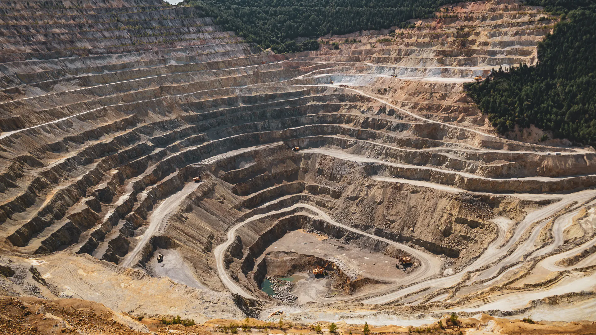
Create a three-dimensional line-of-sight model from candidate radar locations to critical slope sectors. Include range, azimuth, elevation, benches, ramps, dumps, structures, equipment, vegetation, blast changes, mining sequence, and future wall advance. Mark occlusion and grazing angles rather than filling them with a nominal range circle.
Define cell size or spatial resolution, scan cycle, latency, minimum coherent area, movement rates, required availability, and weather bounds in operational terms. A finer display is not automatically more accurate, and a faster cycle may trade with area, data quality, or system configuration.
Plan relocation. A mobile base can reduce civil work and follow the mine plan, but each move changes geometry, reference, power, communications, exclusion, baseline, and acceptance. Price planned moves and urgent redeployment separately.
| Cost layer | Main scope drivers | Buyer evidence |
|---|---|---|
| Radar configuration | Range, field of view, resolution, cycle and environment | Site model and scenario-level performance requirement |
| Base/site work | Stability, leveling, shelter, foundation, access and exclusion | Installation drawing and ground assessment |
| Power/network | Load, backup, lightning, fiber/radio and remote access | Availability calculation and failure modes |
| Software/integration | Processing, users, maps, alarms, API and archive | License terms, interfaces and audit trail |
| Operations/service | Coverage hours, analyst roles, support, maintenance and relocation | Staffing plan, SLA and escalation workflow |
| Acceptance | Reference targets, coverage, atmosphere, alarms and documentation | Signed test plan and retest responsibility |
Build the Total Installed Cost
Include radar, base or trailer, leveling, environmental enclosure, mast or antenna hardware, cameras where supplied, local compute, control workstation, server, displays, UPS or generator, solar where appropriate, grounding, lightning protection, network, site preparation, barriers, transport, commissioning, and permits.
Power and communications deserve engineered redundancy. State autonomy during outage, generator refueling, battery health, network failover, local buffering, clock synchronization, remote reset, and alert delivery. “Wireless included” does not establish site availability.
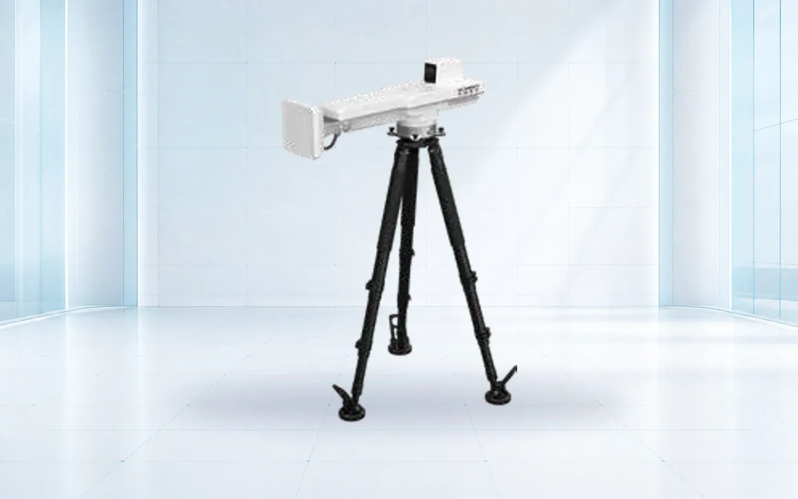
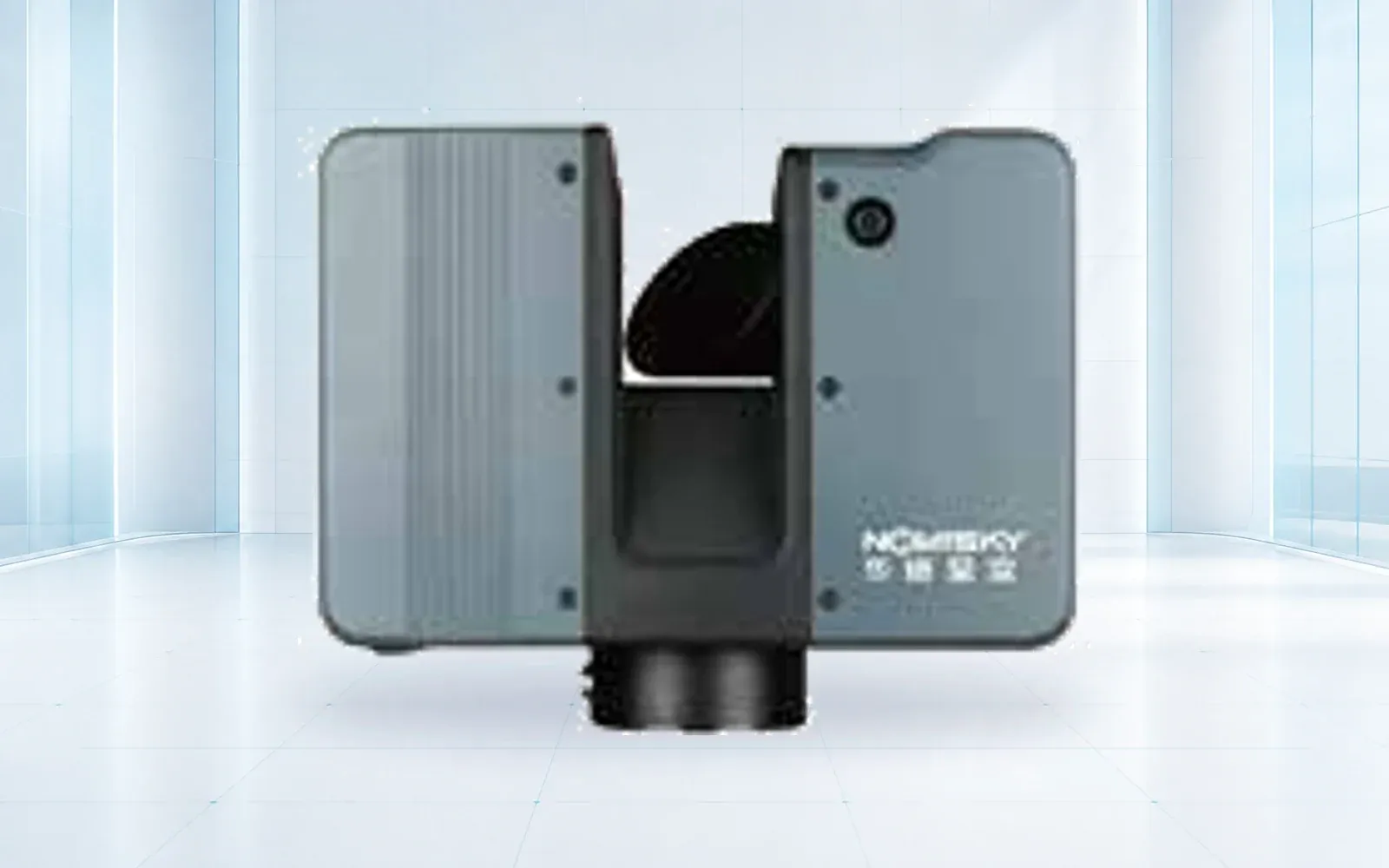
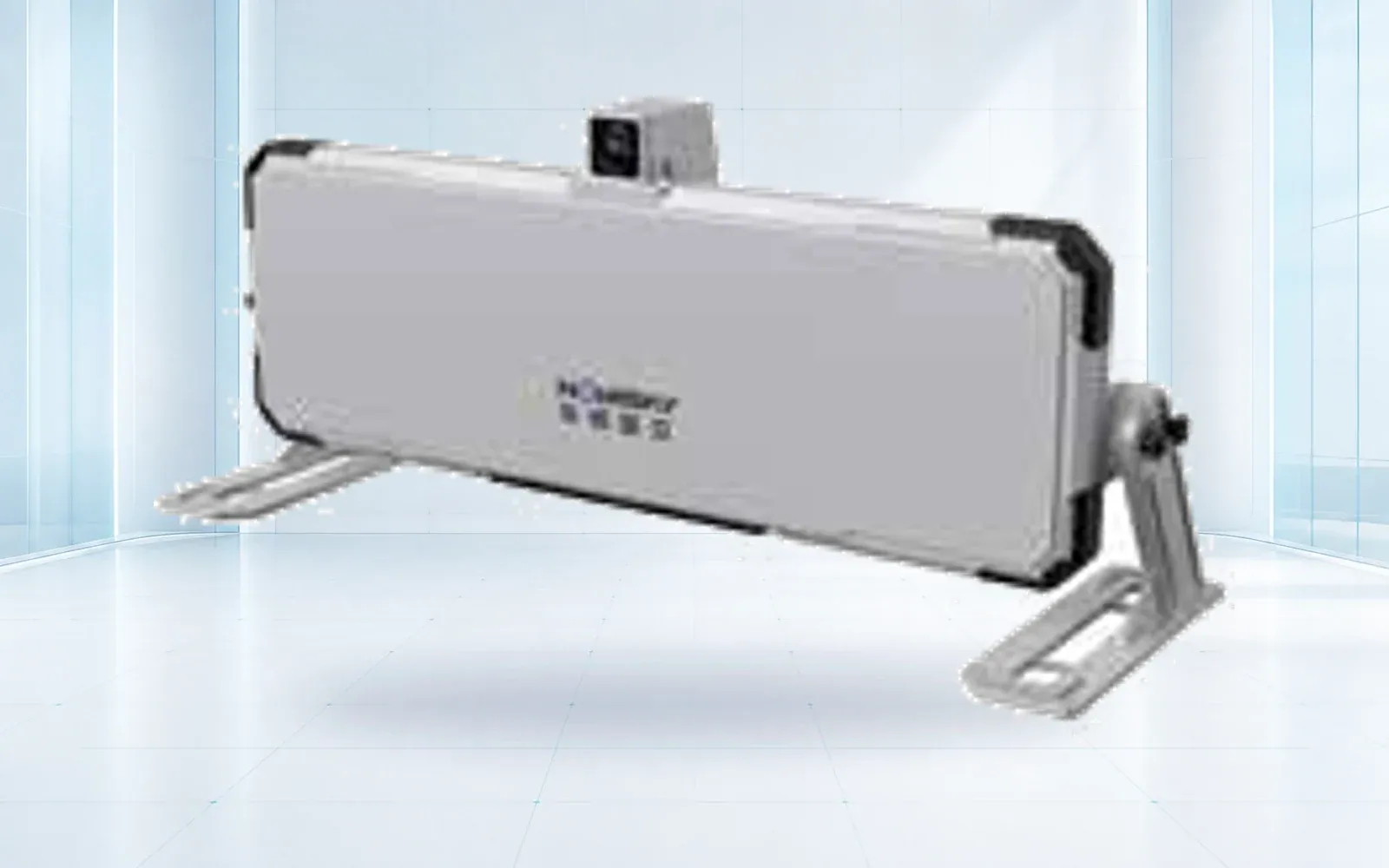
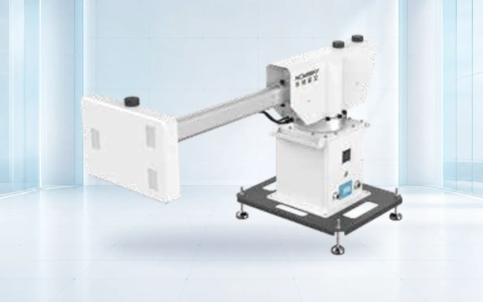
The HAWK-R5, HAWK-R2S, and HAWK-R6 provide alternative radar starting points. Select against verified geometry, cycle, mobility, integration, and site-trial evidence rather than a model-name hierarchy.

Price Operations, Integration, and Data Governance
Budget baseline establishment, atmospheric and quality review, masking, geotechnical interpretation, alarm design, shifts, handover, incident response, reports, data archive, maintenance, health checks, software updates, cybersecurity, and exercises. Decide who watches the radar and who owns the geotechnical decision at every hour of required coverage.
Integrate alarms with maps, mine plans, personnel and equipment zones, dispatch, communications, incident records, and other instruments where justified. Require timestamps, acknowledgement, escalation, action, closure, and audit. A dashboard display without an owned response path is incomplete.
Retain raw and processed data, quality indicators, configurations, masks, thresholds, annotations, software versions, maintenance and relocation history. Price storage and export so the owner can review an event after the service or license ends.
Compare Ownership, Rental, and Monitoring Service
Ownership can suit long-term, high-utilization programs with internal geotechnical and technical capacity. Rental can fit defined campaigns or replacement coverage. A managed service can bring installation, analysts, tuning, and response support for urgent or variable needs. Hybrid models can own critical baseline capability and use service capacity during expansion or outage.
Normalize models to the same operating hours, sectors, availability, staffing, data rights, support, travel, maintenance, relocation, upgrades, and acceptance. A monthly service figure and equipment purchase are not comparable until buyer labor and site costs are included.
Run expected mine-plan and difficult-condition scenarios. Include blast stand-down, access loss, power or network failure, extreme atmosphere, snowfall or dust, equipment obstruction, relocation, and sensor repair. Estimate cost per required coverage hour, not only calendar month.
Normalize Quotes and Allocate Risk
Issue bidders one terrain model, candidate sites, monitored sectors, mine schedule, environmental range, decision workflow, interfaces, support period, and acceptance plan. Require assumptions, exclusions, optional items, lead times, warranty, calibration, service response, loaner, spares, software renewal, end-of-life, and price validity.
Separate performance claims by condition. Ask how atmospheric artifacts, low coherence, rapid surface change, occlusion, moving equipment, vegetation, water, snow, and blast effects appear and are handled. The NIOSH ground-based radar study demonstrates centimeter-scale movement detection in field research, but a site procurement must validate its own instrument, geometry, environment, and alarm use.
Use the slope radar acceptance guide to define the technical test. This article owns the commercial scope; the two should share assumptions so acceptance work is funded rather than left as a post-award negotiation.

Validate Budget Assumptions on Site
Install at the intended or representative location and verify stability, leveling, power, communications, environmental controls, clocks, coverage, occlusion, scan cycle, data quality, storage, and health alerts. Use stable references and controlled movement or approved reference targets where the method supports them.
Test the human workflow from movement evidence to quality check, geotechnical interpretation, alarm, acknowledgement, field confirmation, exclusion or other action, shift handover, and event report. Exercise sensor, power, communications, analyst, and notification failures.
Update the lifecycle budget with observed staffing, tuning, data volume, site work, outages, and relocation effort. Define retest triggers for hardware, software, geometry, installation, mine plan, thresholds, or response-process changes.
Review the deformation monitoring portfolio, mining safety solution, and technical resources, then contact OMNI UXV with the terrain model, critical sectors, decision time, operating hours, integration, service model, and acceptance plan.
FAQs
How much does a slope monitoring radar cost?
There is no useful universal price. Coverage area and geometry, range, update need, mobility, site works, power, network, software, integration, service model, training, and acceptance determine the installed lifecycle cost.
Is one slope radar enough for a mine?
Not necessarily. Occlusion, changing benches, wall orientation, range, scan cycle, critical sectors, relocation and redundancy determine whether one installation can support the required decisions.
When is a monitoring service better than buying?
A service can suit urgent, temporary, specialist, or variable deployments; ownership can suit sustained high-use programs with internal competence. Compare both on availability, data, staffing, response, relocation, and accepted coverage.
Should acceptance testing be priced separately?
Yes. Site survey, installation checks, controlled movement or reference targets, coverage verification, alarm workflow, retest, travel, and documentation should have clear scope and responsibility.