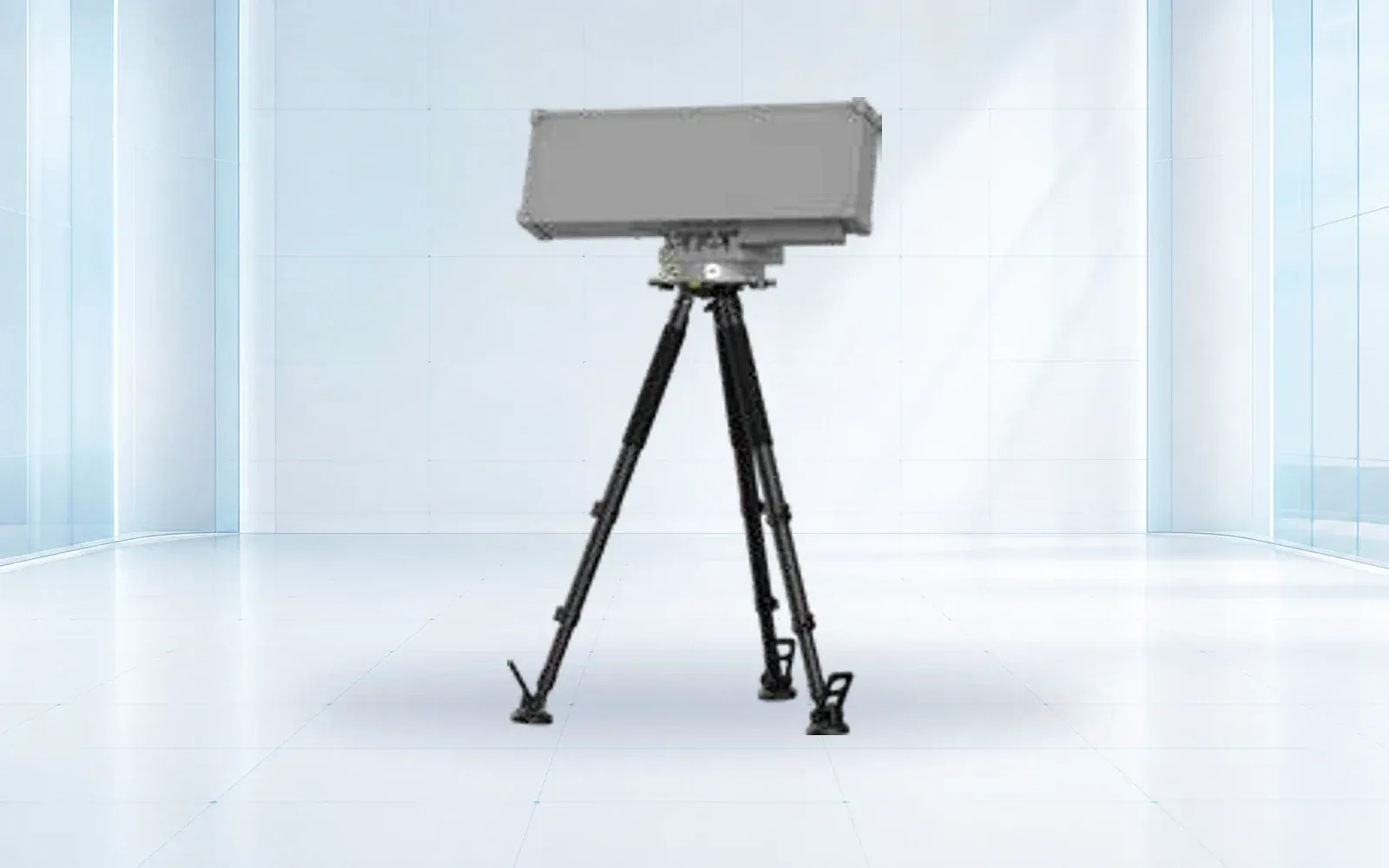
Low-altitude detection
NI-R5000+ Active Detection Radar
- Sensor type
- Active detection radar
- Deployment
- Fixed or mobile, project-configured
- Output
- Target track and alarm data
View product
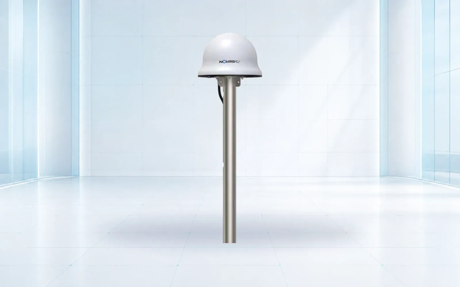
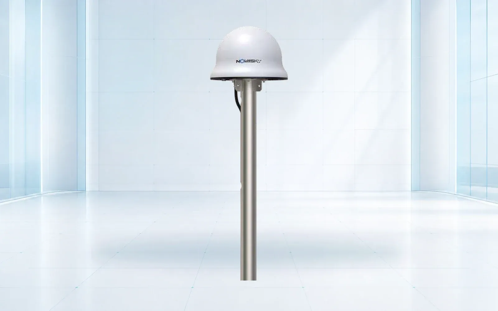
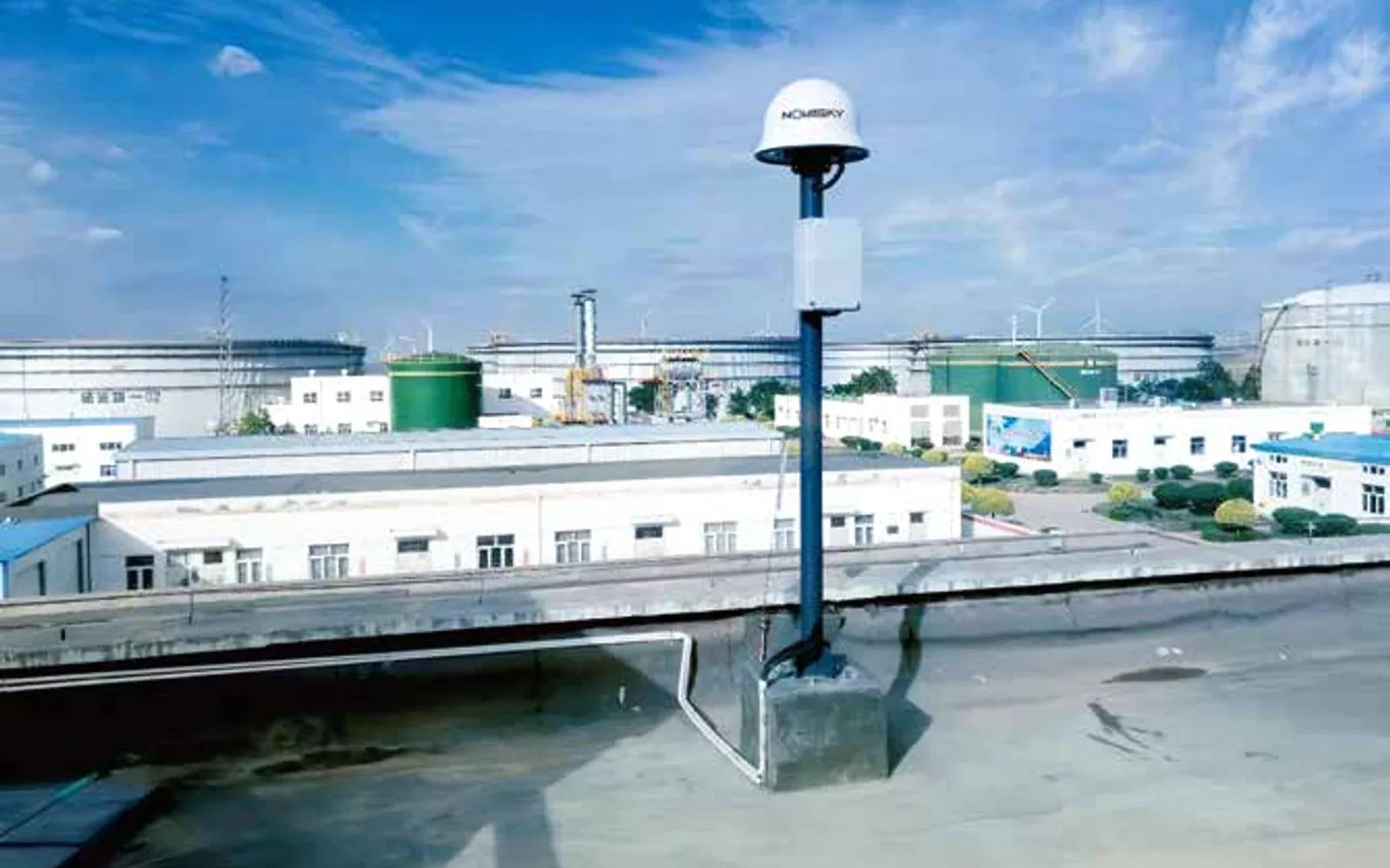
A low-power navigation simulation layer for authorized counter-UAS systems.
The NI-G3000 generates simulated navigation signals to alter the response of compatible unauthorized aircraft. Deployment requires site-specific authorization, safety procedures and integration with a verified detection layer.
System capabilities
Application fit
Technical data
Core performance and interface data for preliminary system selection.
Confirm a project configuration →| Signal types | GPS L1, GLONASS L1, BDS B1, Galileo E1 |
|---|---|
| Reference orientation | 360° |
| Reference activation time | <15 s |
| Power consumption | ≤50 W |
Engineering path
A clear sequence keeps product selection, integration and acceptance tied to the mission.
Confirm the environment, users, required outcome and constraints.
Resolve payload, interfaces, accessories and performance targets.
Agree tests, documentation, training, delivery and handover criteria.
Solution pathways
Selection context
Use these guides to test the mission assumptions behind a product shortlist.
Engineering Guide
Build a counter-drone radar acceptance test for targets, routes, clutter, truth data, track continuity, camera cueing, faults, and retained evidence.
Engineering Guide
Place counter-drone radar by mapping protected volume, terrain, low-altitude occlusion, clutter, structures, spectrum, camera cueing, and field verification.
Integration can be reviewed around the mission, selected options and interfaces. Typical engineering inputs include simulated gnss output, adjustable control area, detection-response integration, destination-country requirements and the intended operating environment.
Provide the destination country, operating scenario, required quantity, target performance, payload or integration requirements, delivery timing and any mandatory standards.
Continue comparing
Low-altitude detection
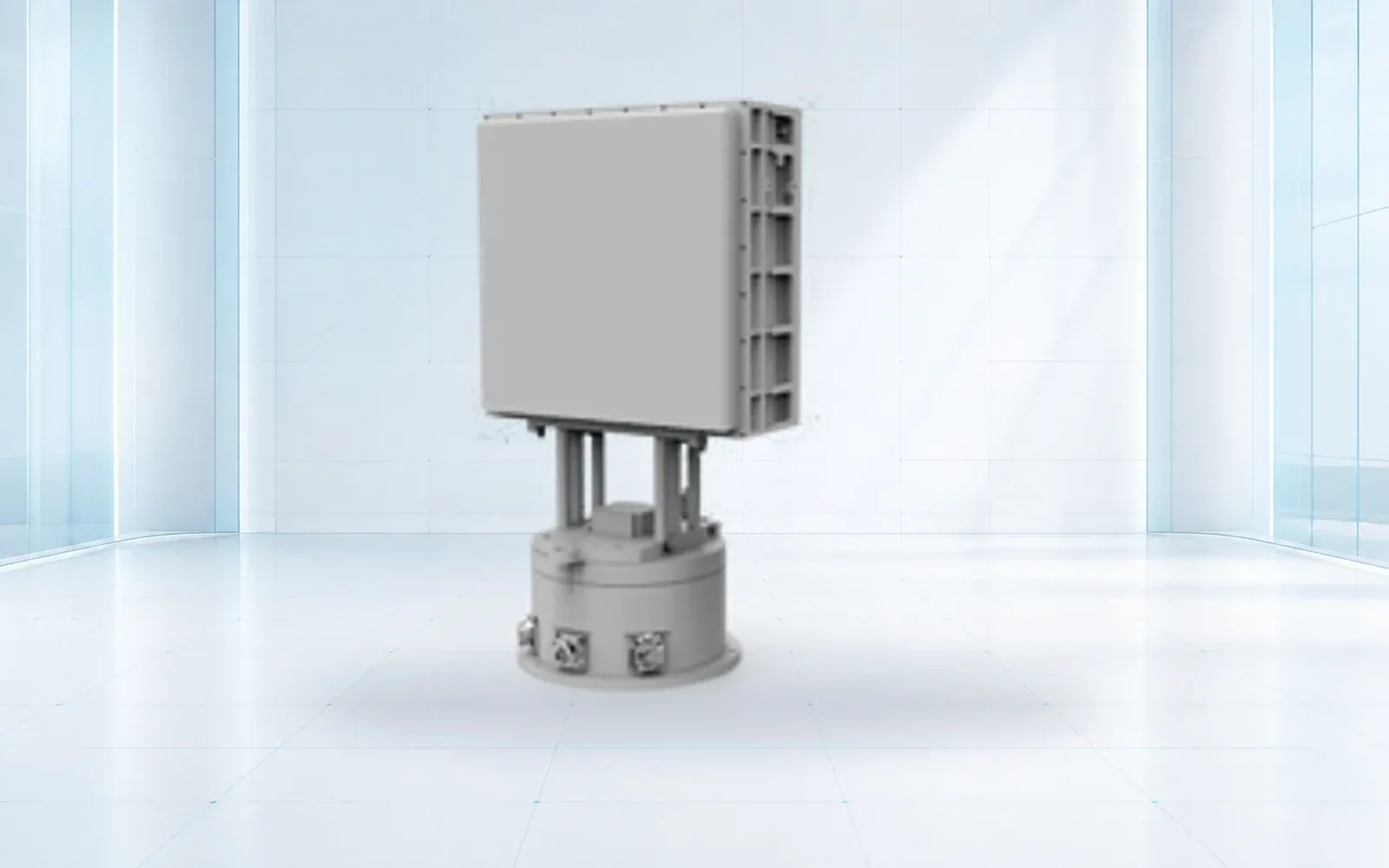
Compact phased-array sensor
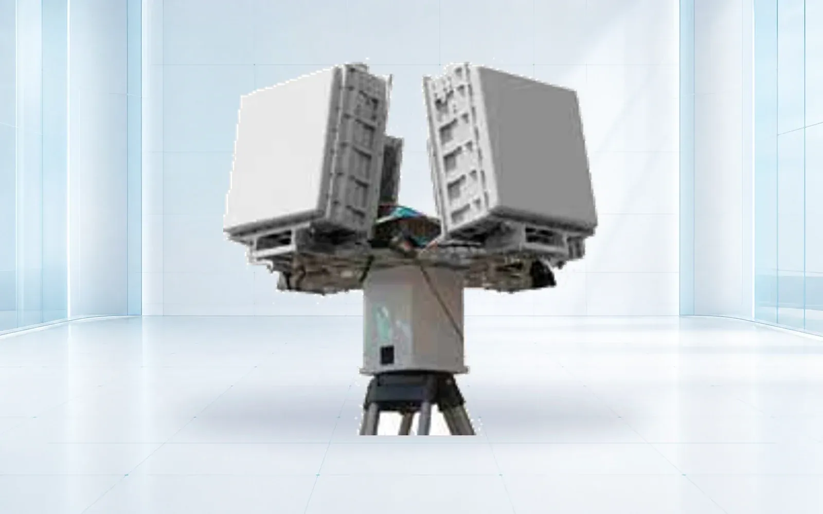
360-degree detection
Send the mission profile and destination country. We will confirm the suitable configuration, documentation scope, lead time and acceptance plan.
Request a technical review