Drone ground sampling distance describes the ground spacing represented by image pixels. It helps plan visible detail and coverage, but it does not certify coordinate accuracy. Start with the feature the client must recognize, calculate the camera geometry, and check how terrain changes that geometry across the flight.
Table of Contents
What does GSD measure?
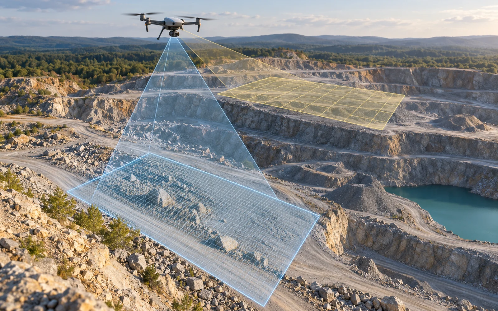
Ground sampling distance is the spacing between adjacent pixel centers projected onto the ground. A smaller value generally provides finer sampling, provided the lens, focus, exposure and reconstruction preserve the information.
Pix4D’s GSD explanation identifies camera-to-surface distance, sensor width, image width and focal length as the main calculation inputs. It also explains why a constant flight height does not produce uniform GSD over varying terrain.
First describe the feature: a road edge, a small fitting, a crop row or a surface texture. Distinguish detecting that something exists from recognizing its type or measuring its dimensions. A feature barely spanning one pixel is not a dependable identification target. Establish the required visibility with representative imagery rather than assuming a universal pixel count.
How do you calculate a planning GSD?
For a near-nadir perspective camera over a locally level surface, use GSD = H × S / (f × N), where H is height above the surface, S is sensor width, f is focal length and N is image width in pixels. S and f must use the same units; the result uses H’s distance unit.
Consider an illustrative camera with a 13.2 mm sensor width, 8.8 mm focal length and 5,472-pixel image width. Use the installed camera’s dimensions when applying the calculation to a flight plan.
| Height above surface | Calculated GSD | Approximate image footprint width |
|---|---|---|
| 60 m | 1.64 cm/pixel | 90 m |
| 90 m | 2.47 cm/pixel | 135 m |
| 120 m | 3.29 cm/pixel | 180 m |
The footprint is H × S / f. Increasing height expands coverage but reduces sampled detail. These calculations do not establish a permitted operating altitude or account for oblique surfaces, lens distortion or motion.
Record the source of every input. A focal length expressed as a 35 mm equivalent must not be mixed with the physical sensor width in this formula. Cropping or binning can also change the effective image geometry.
Why does terrain change the result?
A flight maintained 100 m above its takeoff elevation can be much closer to a rising ridge and farther from a valley floor. The relevant distance follows the local surface. An acceptable average GSD can hide a coarse patch in the location that matters most.
Build a terrain envelope from a suitable elevation model, identify uncertainty in that model, and review the flight geometry within the aircraft’s operating constraints. Check tall structures separately. Oblique façades have varying range and projection across the image, so the simple level-ground calculation is insufficient.
Resolution and accuracy need separate acceptance tests
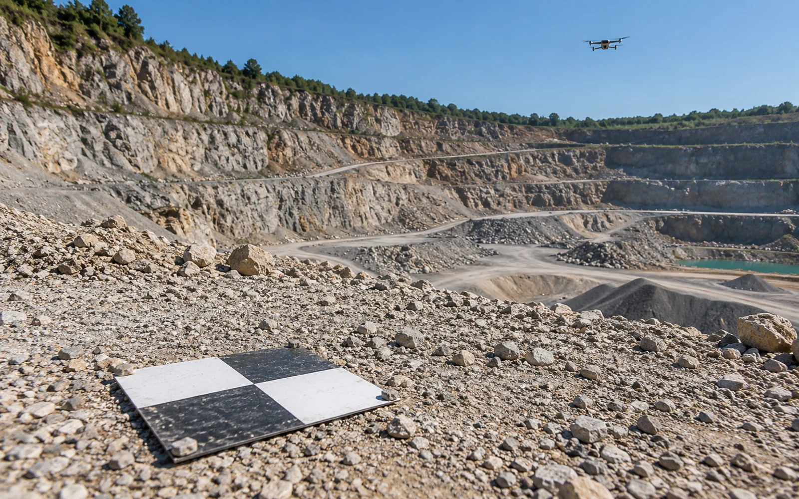
A sharp image can still be displaced in the project coordinate system. Conversely, accurately positioned exposures may contain blur or unresolvable detail. Give each problem its own acceptance evidence.
For resolution, inspect original imagery at representative heights and surfaces. For positional accuracy, use the agreed independent checks and reporting method. The RTK and PPK survey guide explains why a positioning status cannot replace deliverable checks.
An orthomosaic export setting is another separate field. Ask for the source GSD distribution as well as the output pixel size. Avoid describing interpolated pixels as new measured detail.
Put the geometry into the acquisition brief
The brief should identify the feature to be resolved, physical camera parameters, expected local GSD range, terrain assumptions, image-quality checks and final accuracy assessment. Include inaccessible areas and a reflight decision before fieldwork begins.
Use the mapping platform comparison after defining the required ground detail. The acquisition record should identify the installed camera, terrain model and altitude assumptions behind the GSD worksheet.
FAQs
Does a 2 cm GSD guarantee 2 cm survey accuracy?
No. GSD describes image sampling. Survey accuracy also depends on positioning, camera calibration, image geometry, processing and independent checks.
Which height belongs in the GSD calculation?
Use the camera height above the local target surface for a near-nadir, locally level approximation, not simply height above the launch point.
Can exporting a finer orthomosaic improve captured detail?
A smaller output pixel size resamples the existing observations. It cannot recover detail that was not captured sharply in the source images.