Satellite InSAR and ground-based interferometric radar both derive line-of-sight displacement from radar phase, but they do not provide the same product. Orbit geometry, coverage footprint, revisit, latency, resolution, coherence, reference, installation, and operating workflow determine whether the task is regional screening, historical context, focused investigation, or site-level monitoring.
Table of Contents
The Shared Physics Does Not Make the Products Interchangeable
Both approaches compare radar phase to estimate change along a line of sight. That common principle can encourage overly simple comparisons. A satellite observes from an orbit on scheduled passes and processes a large scene; a ground system is installed at a selected site with a chosen view, scan pattern, power, network, and local operating team.
Use the comparison to allocate roles, not declare a universal winner. Ask what area must be observed, how quickly change must be available, which direction is visible, how the surface remains coherent, and what decision follows.
Compare the Operating Scales
| Decision factor | Satellite InSAR | Ground-based radar | Design implication |
|---|---|---|---|
| Footprint | Regional to corridor or asset-scale product, depending on source | Focused view selected from a site position | Use satellite for context/screening and ground radar for a defined local field when appropriate |
| Revisit and latency | Orbit and processing dependent | Configured scan/revisit and local data path | Match the actual product delay to required action time |
| Geometry | Ascending/descending orbit and terrain | Candidate ground position and slope view | Project expected motion into each line of sight |
| Coherence | Surface, vegetation, moisture, snow and revisit dependent | Surface return, atmosphere, incidence and local change dependent | Report usable cells and quality, not nominal footprint |
| Deployment | Data access and processing workflow | Hardware, civil work, power, network and maintenance | Budget different lifecycle resources |
| Operational use | Screening, history, regional trend or periodic review | Focused monitoring, investigation or alarm input when validated | Define the handoff and responsible reviewer |
Do not compare a nominal satellite pixel or ground-radar precision value as if either were delivered accuracy. Review the processing level, reference, uncertainty, filtering, quality mask, spatial support, timestamp, and validation method.
Treat Geometry as a Vector Problem
Map the expected movement direction against satellite and ground lines of sight. Motion mostly perpendicular to one view can appear small. Terrain can create satellite shadow or layover, while benches, structures, and slope shape can occlude a ground instrument.
Multiple satellite viewing directions, a second ground position, GNSS, prisms, or survey may improve interpretation, but only after coordinates, axes, time, and reference are reconciled. The slope-instrument selection guide explains these complementary roles.
USGS describes InSAR as comparing radar scenes to identify topographic change and has investigated it for landslides and dam-related deformation. That use supports screening and investigation; it does not create a universal warning guarantee.
Build a Screening-to-Monitoring Handoff
Define what satellite evidence triggers: review recent imagery, inspect a site, deploy GNSS, change survey frequency, position a ground radar, update the hazard model, or establish a controlled monitoring period. Record the threshold as a review rule, not an automatic stability conclusion.
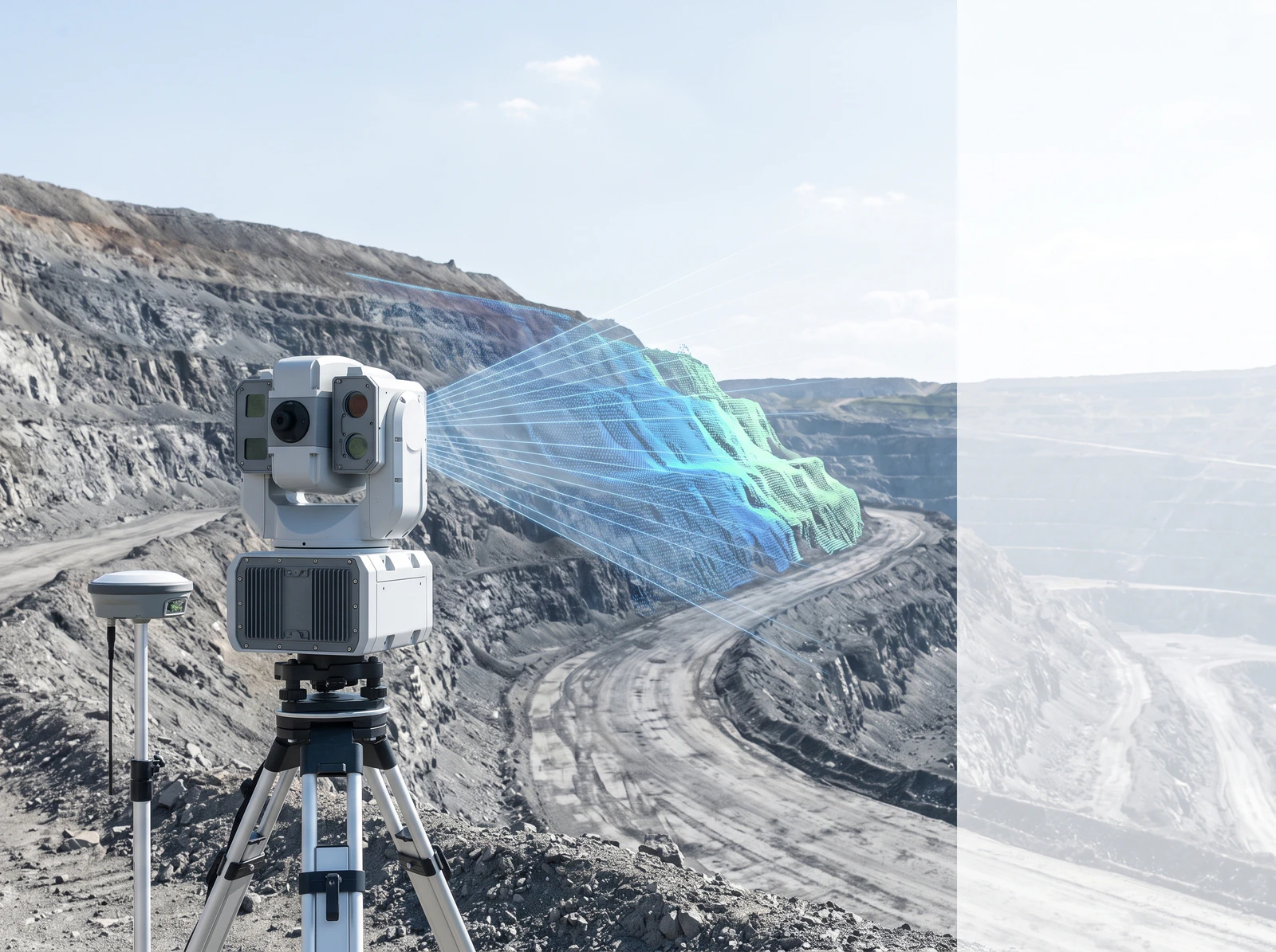
When a ground radar is deployed, use the satellite history to inform sectors and prior change, then establish a local baseline and site acceptance. Preserve the relationship between regional polygons and ground-radar cells without pretending that they are the same measurement support.
USGS warns that near-real-time monitoring data may be provisional and contain errors from instrument or site changes. Apply quality states and human review to both data sources.
Match Revisit and Latency to the Action Clock
List the time required to detect, process, review, verify, decide, communicate, and act. Compare that chain with the expected movement and consequence. A product may be valuable for months-long trend screening and unsuitable as a rapid operational alarm; another may update quickly but cover only a selected face.
Report data gaps, low coherence, processing delay, network loss, maintenance, and reviewer availability as part of the system. Silence is not evidence of stability.
Validate Each Source Independently Before Fusion
Use stable references, known or independently measured points, GNSS or survey comparisons, surface inspection, and repeatable quality checks appropriate to each product. Retain native results and uncertainty before creating a combined dashboard.
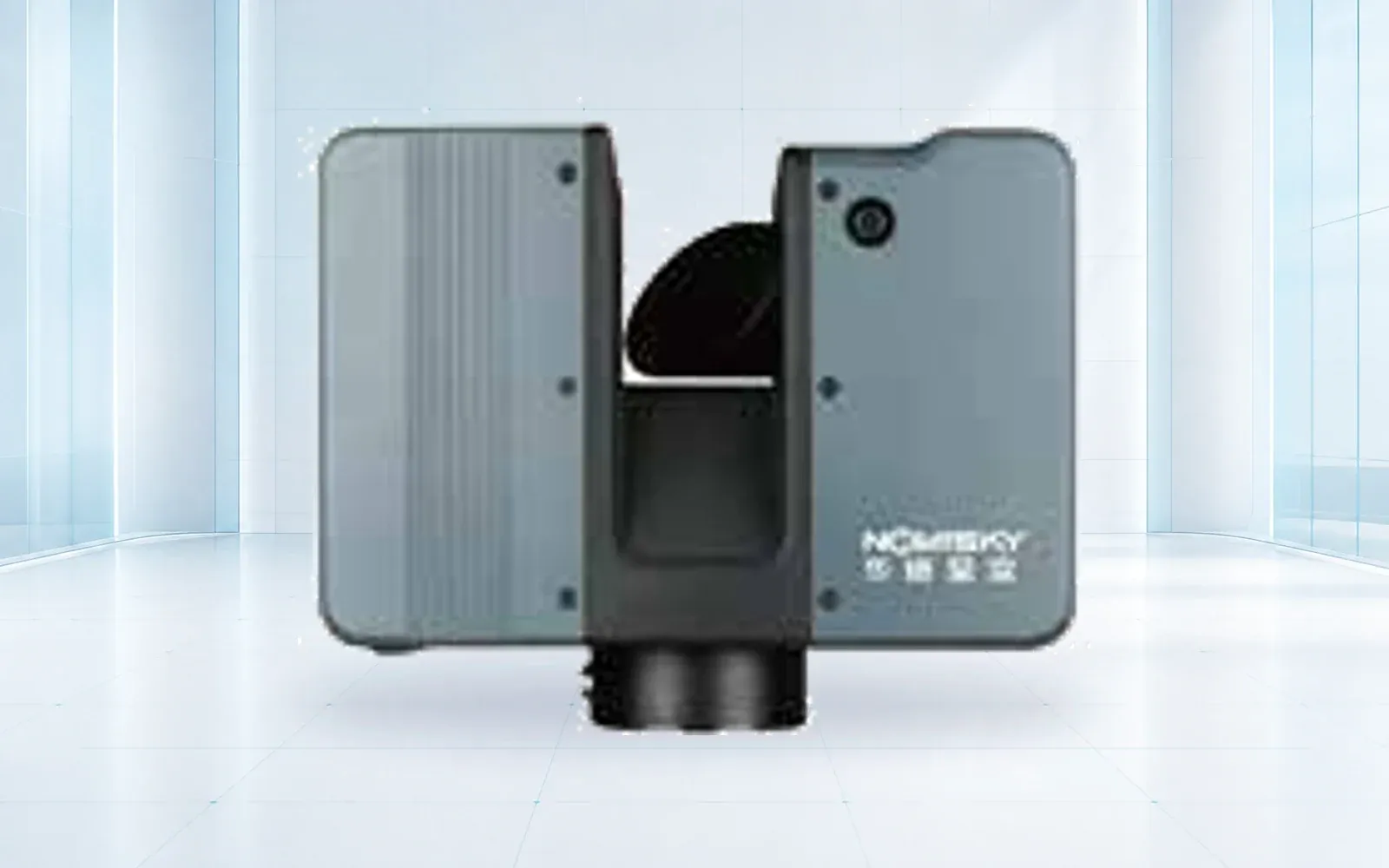
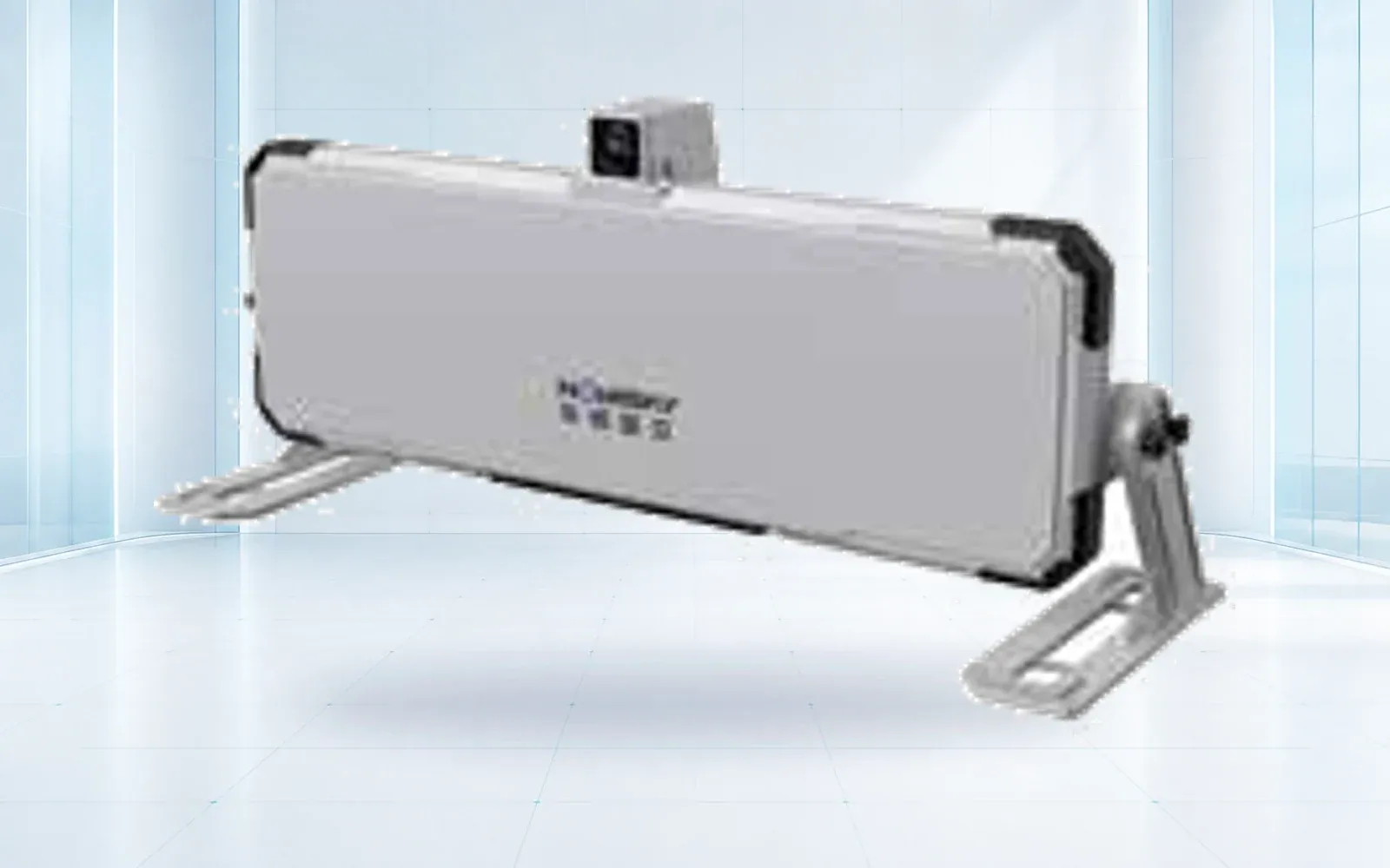
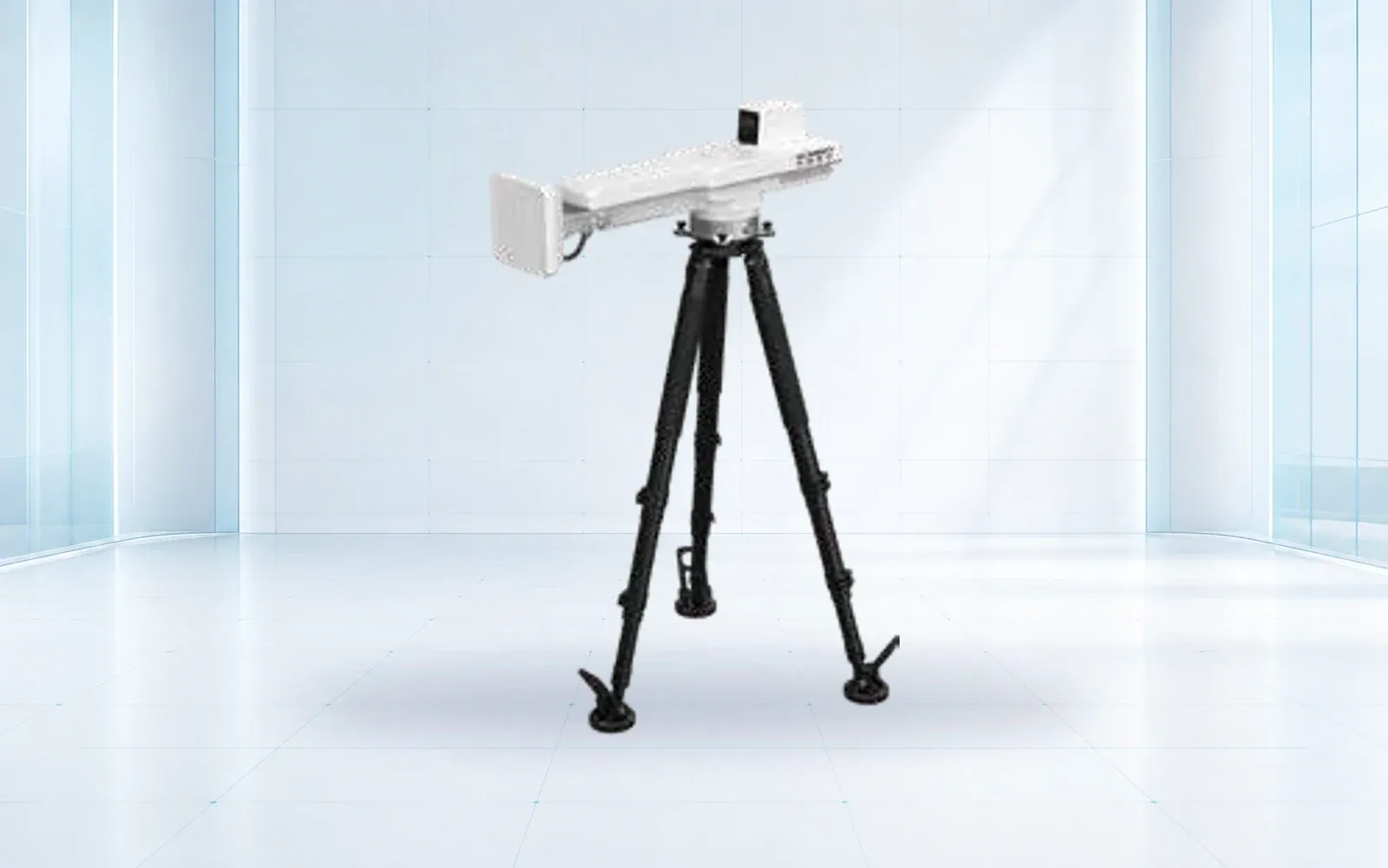
The HAWK-R5 and HAWK-R6 are ground-system candidates requiring site-specific geometry and acceptance. Use the deformation-monitoring portfolio, mining safety solution, and resource center to define the regional-screen-to-site-monitoring workflow.
FAQs
Can satellite InSAR replace a ground-based slope monitoring radar?
Not automatically. Satellite products can support regional or historical screening, while a site system may provide focused geometry and shorter update cycles; suitability depends on the hazard and required action time.
Do InSAR and ground-based radar measure three-dimensional movement?
Each observation is primarily sensitive to displacement along its radar line of sight. Multiple geometries or independent instruments are needed to reconstruct or corroborate a fuller movement vector.
Why might InSAR miss a moving slope?
Unfavorable movement direction, temporal or spatial decorrelation, vegetation, snow, rapid change, terrain layover or shadow, revisit timing, processing, and the product's spatial scale can limit usable observations.