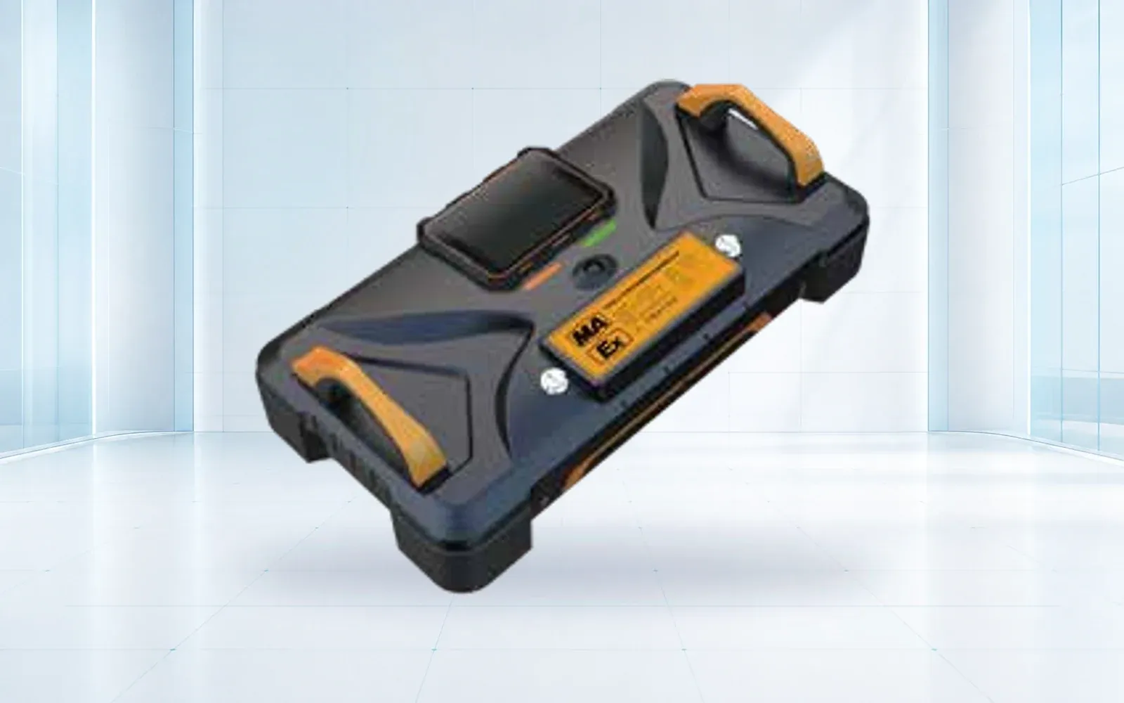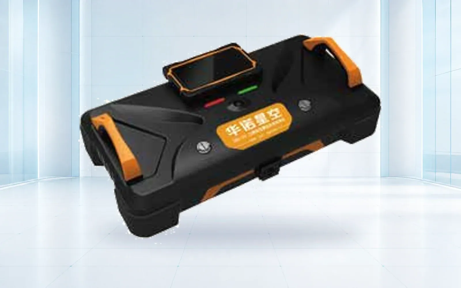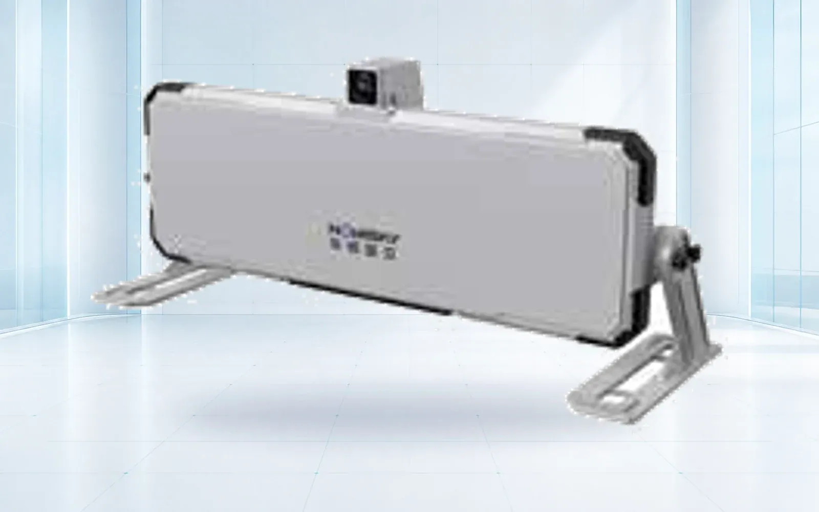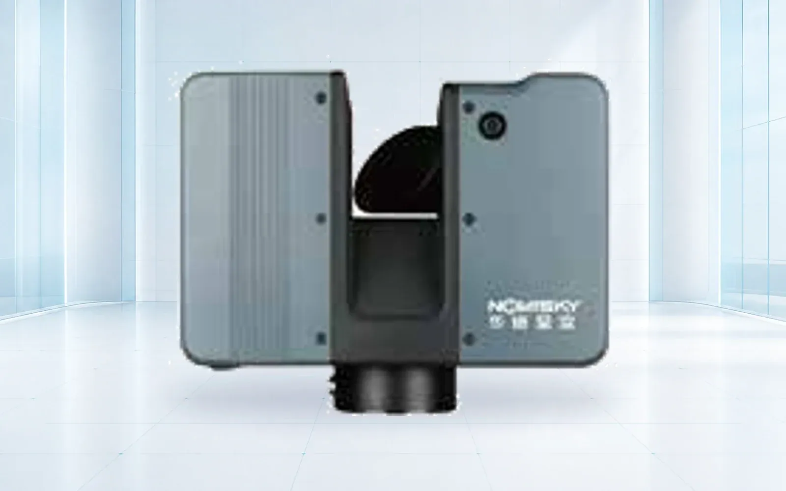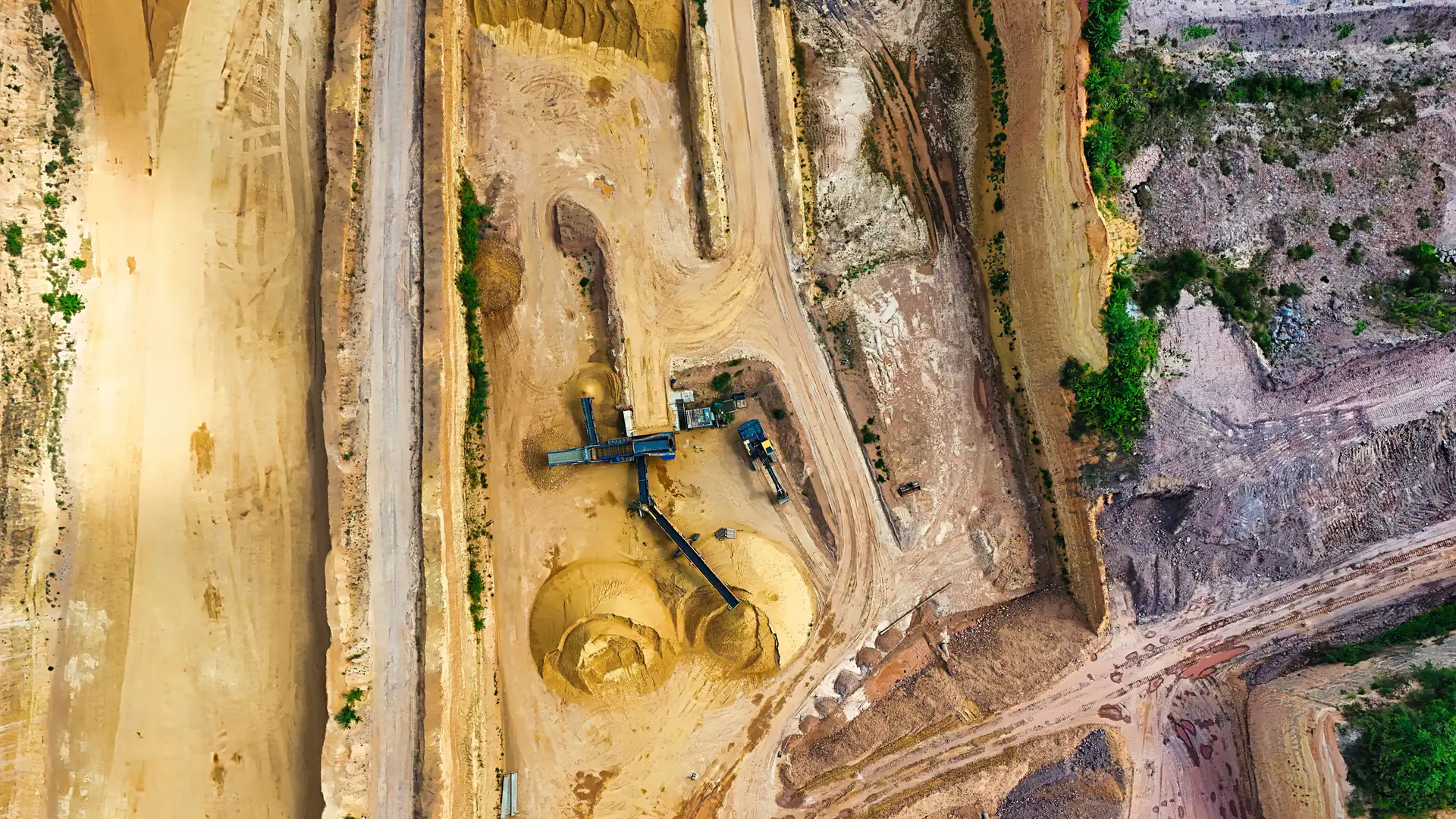
Mine safety monitoring is not one dashboard fed by interchangeable sensors. Atmospheric hazards, slope movement, seismicity, tailings behavior, equipment state, and personnel location operate on different timescales and require different reference data; integration begins with a shared alarm register and escalation chain, not a single vendor interface.
Table of Contents
- Build One Hazard Register, Not One Sensor List
- Atmospheric Monitoring Follows the Ventilation Plan
- Slope Monitoring Needs Broad and Independent Measurements
- Microseismic Data Requires a Site Model
- Tailings Monitoring Must Match the Failure Mode
- Personnel Tracking Is an Emergency Input
- Integration, Certification, and Acceptance
- FAQs
Build One Hazard Register, Not One Sensor List
Start with the decisions that protect people and operations: ventilate, withdraw, close an area, inspect a slope, stop equipment, change deposition, or initiate rescue. Each decision needs an initiating measurement, verification method, responsible role and time limit.
| Hazard domain | Typical measurements | Independent evidence | Operational action |
|---|---|---|---|
| Underground atmosphere | Methane, oxygen, CO, smoke, temperature, airflow | Portable checks and ventilation data | Alarm, control action, withdrawal |
| Open-pit slope | Line-of-sight displacement and velocity | Prisms, GNSS, extensometers, inspections | Exclusion, inspection, mine-plan change |
| Seismic and rock mass | Event location, energy and frequency | Geology, stress and support observations | Re-entry review or support change |
| Tailings facility | Pore pressure, water level, movement, seepage | Survey, inspection and geotechnical model | Escalation under the facility plan |
| Personnel and equipment | Zone, identity, status and distress | Muster and dispatch records | Search, rescue or access control |
The system architecture should preserve this hazard ownership even if one platform displays every alarm.
Atmospheric Monitoring Follows the Ventilation Plan
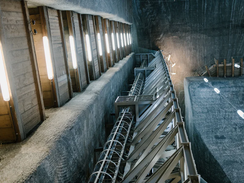
Gas and fire monitoring cannot be reduced to a universal list of six sensors. Mine type, seam and strata, diesel equipment, electrical installations, ventilation and combustion risk determine the parameters and locations.
For U.S. underground coal mines, 30 CFR 75.351 specifies atmospheric monitoring requirements for defined locations and hazards. China’s National Mine Safety Administration issued a May 2026 notice on coal-mine gas prevention emphasizing methane sensors, interlocks, alarms, maintenance and the integrity of monitoring data. These are examples of jurisdiction- and hazard-specific rules, not interchangeable global requirements.
Acceptance should test calibration, alarm and trip thresholds, delay, interlock behavior, backup power, communications loss and the portable measurement used to verify a reading.
Slope Monitoring Needs Broad and Independent Measurements
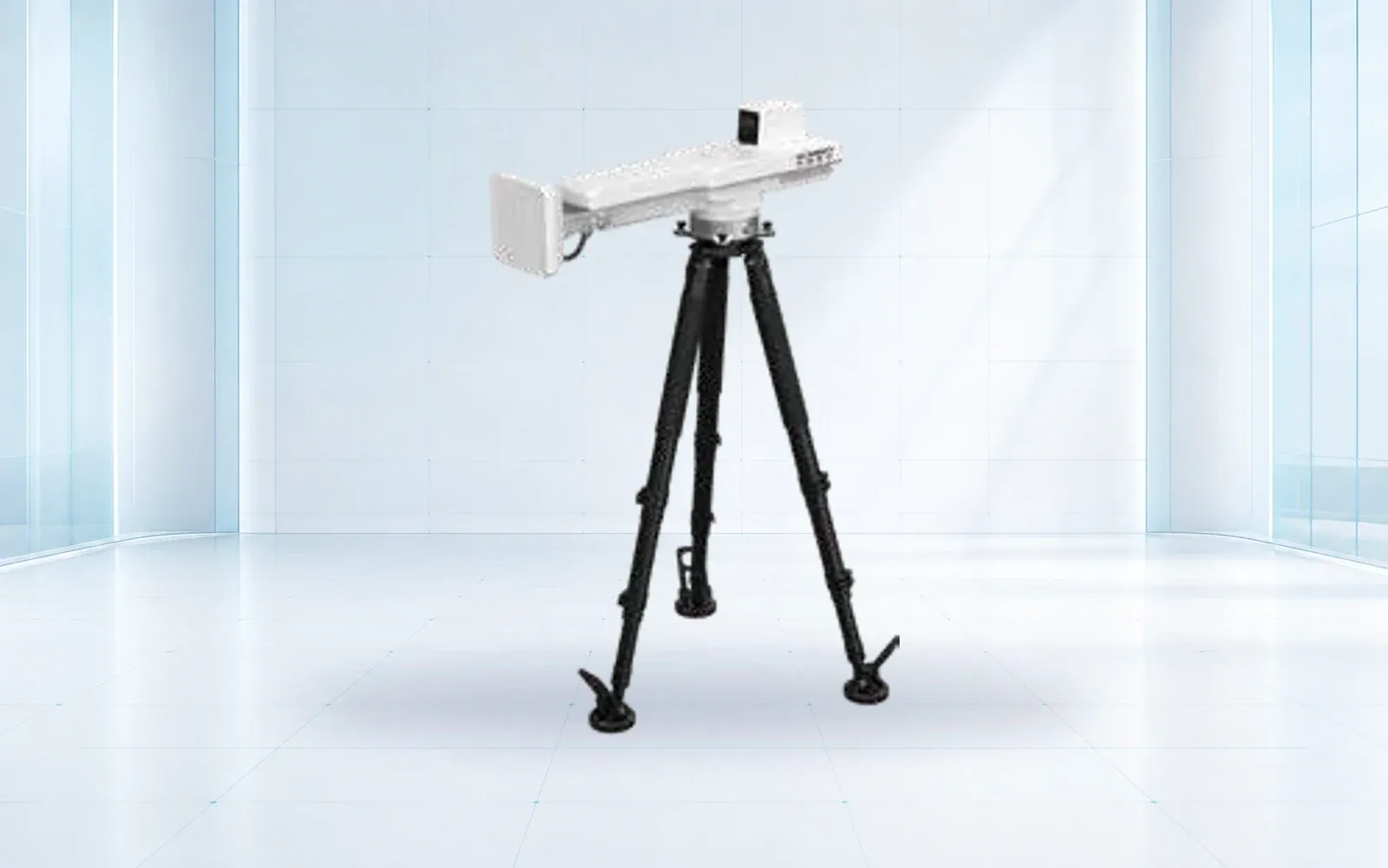
Slope radar provides remote area coverage and frequent displacement updates without placing instruments on an unstable face. Point sensors add independent position or internal behavior. Visual and geotechnical inspections explain whether measured movement aligns with geology, blasting, weather or excavation.
For periodic aerial survey, highwall inspection and rapid incident assessment, the mining UAV buyer’s guide matches each mine deliverable to aircraft, payload, positioning and a representative site trial.
Products in the deformation-monitoring category should be selected by range, spatial coverage, update interval, displacement uncertainty, reference stability and alarm workflow. “Millimetre accuracy” is incomplete unless it states distance, atmosphere, reference method and processing interval.
The slope monitoring radar site-acceptance guide details line-of-sight geometry, atmospheric and surface artifacts, independent corroboration and failure cases for this measurement layer.
Acceptance should include a stable reference, controlled or independently measured movement when possible, data gaps, poor visibility, blast cycles and an alarm drill. A quiet dashboard during radar obstruction is a failure, not a stable slope.
Microseismic Data Requires a Site Model
Microseismic monitoring can locate and characterize rock-fracture events, but an algorithm’s study accuracy is not a transferable guarantee. Array geometry, sensor coupling, velocity model, mine noise and labeled local events influence performance.
Procurement should request location uncertainty, magnitude or energy consistency, detection threshold, noise rejection, clock synchronization and the process for updating the velocity model. Alerts should combine seismic trends with geology, stress, support and observed damage rather than act on a single score.
Retain raw waveforms and model versions so a significant sequence can be reprocessed after new geological information appears.
Tailings Monitoring Must Match the Failure Mode
Tailings facilities may need pore-pressure, phreatic-surface, seepage, settlement, deformation, crack, water-level and weather measurements. The instrumentation plan follows the design and potential failure modes; adding one remote sensor does not make the facility “real-time monitored.”
Integrate thresholds with the facility’s inspection and emergency action plan. Define who reviews trends, what corroboration is required and how a missing instrument changes the operating condition. Remote displacement monitoring can add broad surface evidence, while piezometers and inclinometers address internal behavior.
Data ownership and continuity matter because long trends may outlive a software subscription or contractor.
Personnel Tracking Is an Emergency Input
RFID, BLE, UWB and other location technologies provide different precision, infrastructure and battery behavior. Mine geometry and communications determine whether the system can deliver zone-level presence or finer position. Do not promise centimetre accuracy without a site trial and documented geometry.
The operational output is a muster and last-known-location record. Test missed readers, damaged tags, battery alerts, refuge areas, shift changes and a network outage. Rescue teams also need a verified process for transferring location data to search tools such as mine life-detection equipment.
Tracking data raises workforce privacy and retention questions; collect and retain only what the safety purpose and local rules support.
Integration, Certification, and Acceptance
Use a common time source and event identifier, but keep subsystem thresholds and engineering ownership separate. The control room should show measurement, health, alarm status, acknowledgement, escalation and closure. It should also distinguish an advisory trend from a mandatory withdrawal or trip condition.
Equipment in potentially explosive atmospheres may fall within requirements such as the EU ATEX Directive 2014/34/EU; certification must match the exact device and installation zone. Map every regulatory statement to the applicable mine, jurisdiction and equipment configuration.
Run end-to-end drills across sensor, network, platform and operating procedure. The mining safety monitoring solution and resource library can structure the subsystem and evidence map. For an integrated acceptance plan, contact OMNI UXV with the mine type, hazard register and required actions.
FAQs
Does every mine need the same set of gas sensors?
No. Sensor selection follows mine type, ventilation plan, combustion and explosion hazards, machinery, applicable regulation, and emergency procedures. Methane, oxygen, carbon monoxide, smoke, temperature, and other gases may be required in different locations and combinations.
Can slope radar replace prisms, GNSS, or geotechnical instruments?
No single instrument replaces the others in every mine. Radar provides broad remote deformation coverage; point instruments and geotechnical sensors provide independent position, subsurface, pore-pressure, or long-duration evidence. Their agreement and disagreement both support decisions.
What should happen when communications to a mine sensor fail?
The platform should raise a health alarm, preserve local data where possible, identify which safety decisions are affected, and invoke a defined operating response. Missing telemetry must never appear as a safe or normal measurement.
How should a mine validate an integrated alarm?
Test the sensor threshold, data transmission, timestamp, alarm logic, operator acknowledgement, required notification, control or evacuation action, and closure record. Drills should include device failure and network loss, not only a successful alarm.