A legally defensible public safety counter UAS workflow must rigorously separate imprecise witness reports from mathematically verified sensor tracks. Because law enforcement drone detection inherently involves widely varying data inputs, agencies require a strict counter drone evidence workflow to actively prevent collapsing unverified, disparate data points into a single, misleading alert state. Ultimately, any unauthorized drone incident response must carefully account for complex, overlapping aviation jurisdictions. This meticulous approach ensures that a documented, deliberate non-escalation is rightfully treated and legally recognized as a highly valid and successful operational outcome.
Table of Contents
- 1. Validating Detection Inputs
- 1.1. Treat each input as a different claim
- 1.2. Define zones and consequences before the incident
- 2. Operational Response Architecture
- 2.1. Design a useful detection-only outcome
- 2.2. Exercise the handoff and the record
- 3. Governance and Acceptance
- 3.1. Write the authority matrix before configuring buttons
- 3.2. Make the evidence package self-explanatory
- 3.3. Measure the exercise, not just the detection
- 4. FAQs
1. Validating Detection Inputs
1.1. Treat each input as a different claim
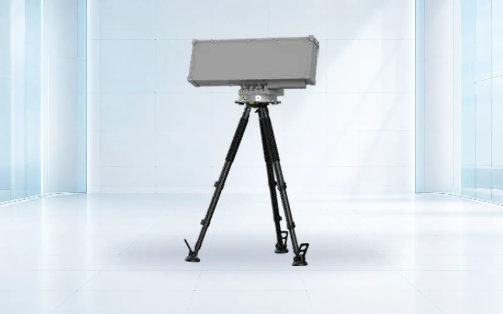
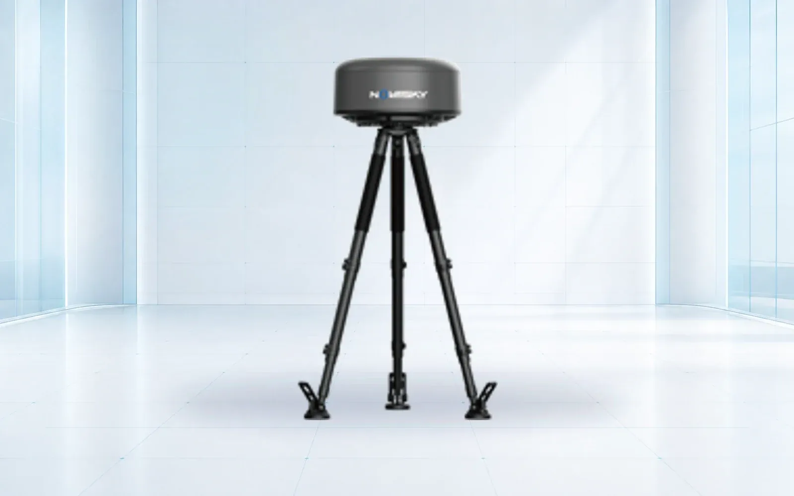
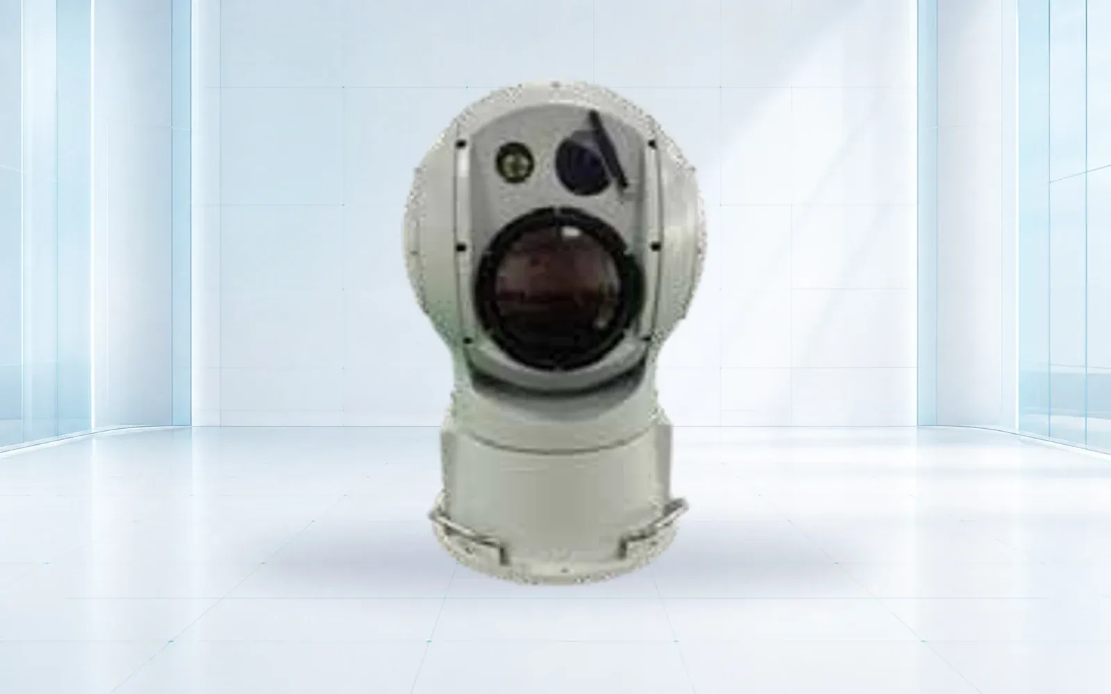
A witness report may be timely but imprecise. Radar may show a moving track without identity. RF sensing may provide protocol clues when the aircraft is transmitting. A camera can support visual confirmation but may lose the target against clutter or poor light.
Do not collapse these inputs into a single “drone detected” state. The layered counter-UAS guide explains the complementary role of each sensor. The operational record should preserve what each source actually observed.
| Workflow state | Minimum evidence | Operator action |
|---|---|---|
| Reported | Source, time, location and description | Log and assess credibility |
| Detected | Sensor, track, confidence and uncertainty | Corroborate and maintain track |
| Classified | Evidence supporting object type | Apply the relevant incident procedure |
| Identified | Registration, Remote ID, operator or other lawful evidence | Coordinate with the responsible authority |
| Escalated | Consequence, authority and documented decision | Execute only the permitted response |
1.2. Define zones and consequences before the incident
A track over a public road, a controlled airfield sector and a protected-event perimeter do not have the same consequence. Map warning, investigation and critical zones against actual airspace, property, people and response responsibilities.

The FAA’s public-safety material emphasizes the role of law-enforcement and public-safety agencies in deterring, detecting and investigating unsafe UAS operations. The exact authority and coordination path remains jurisdiction-specific.
2. Operational Response Architecture
2.1. Design a useful detection-only outcome
Detection, visual confirmation, evidence capture, operator location support, airspace coordination and physical site response can all be useful without active interference. This is important because mitigation authority is restricted in many jurisdictions and can create aviation or spectrum consequences.
For U.S. airport contexts, current FAA guidance on UAS detection, mitigation and response warns that these systems can affect air traffic operations and that counter-UAS authority is limited. Other countries use different legal frameworks, so the project must be reviewed for the destination and end user.
2.2. Exercise the handoff and the record
Run scenarios that include a false report, a lawful cooperative aircraft, an uncertain track, loss of a sensor, conflicting evidence and a high-consequence incursion. Measure how long it takes to corroborate, identify the responsible decision-maker and export a complete incident record.
The law-enforcement and public-safety architecture connects detection to command and evidence. The counter-UAS systems guide supports technical selection, while the compliance library explains why authority and destination review stay separate from hardware capability.
If a legally authorized program proceeds from evidence and response into active RF mitigation procurement, the drone-jammer buyer guide places entity authority, approved effect, collateral controls, and controlled testing ahead of product selection.
3. Governance and Acceptance
3.1. Write the authority matrix before configuring buttons
The same incident may involve the site owner, event security, dispatch, aviation authority, air traffic services, law enforcement and other public agencies. Their responsibilities are not interchangeable. Document who may observe, request identification, establish a safety perimeter, preserve evidence, contact an operator and authorize any further action under the applicable law.
The platform should reflect that division. A user interface that presents an active response control to someone without authority creates risk even if the operator never presses it. Role-based permissions, a two-person rule where required, reason codes and immutable audit history can turn policy into a system constraint.
| Decision point | Named role | Required information |
|---|---|---|
| Initial triage | Duty operator or dispatcher | Report source, time, location and immediate consequence |
| Sensor corroboration | Trained system operator | Track, confidence, health and alternative explanations |
| Incident escalation | Designated incident lead | Protected zone, people exposed and available authority |
| External coordination | Authorized liaison | Location, evidence summary and requested support |
| Closure and retention | Records owner | Final disposition, evidence package and retention rule |
3.2. Make the evidence package self-explanatory
An exported clip without the surrounding timeline can be misleading. Preserve the original sensor observations, fused event, track history, timestamps, map reference, camera imagery, system health, operator notes, acknowledgements and changes in classification. Identify the software and configuration used to create the record.
The package should separate fact from assessment. “Radar track at these coordinates” is an observation. “Likely small UAS” is a classification with confidence. “Hostile intent” is a much stronger operational assessment and should not be inferred from a track alone. Keeping those fields separate supports review and reduces the chance that an early label becomes an unquestioned fact.
3.3. Measure the exercise, not just the detection
Scenario exercises should record time to first observation, corroboration, classification, decision-owner notification and complete evidence export. They should also count nuisance alarms, missed handoffs, unavailable contacts and actions attempted by the wrong role. Debrief the timeline with operators and partner agencies, then change procedures or configuration under controlled revision.
Include lawful and cooperative aircraft, sensor loss and ambiguous behavior. A strong outcome is not always escalation; it may be a documented decision that the track does not justify further action. That restraint is part of a defensible public-safety workflow.
4. FAQs
Is a drone detection the same as a verified identity?
No. A report, sensor detection, classification and verified identity are different claims. The incident record should preserve the evidence, confidence and uncertainty for each stage.
When should public-safety response authority be defined?
Define the authority matrix before an incident and before configuring response controls. Name who may assess, preserve evidence, coordinate externally and authorize each permitted action.
What belongs in a counter-UAS evidence package?
Include original observations, fused events, track history, timestamps, map references, imagery, system health, operator notes, acknowledgements, classification changes and the relevant configuration.