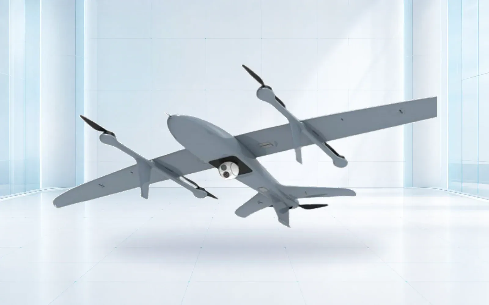
When asking how to choose an industrial drone, procurement teams must never rely solely on an isolated industrial UAV datasheet. Real-world VTOL drone endurance and payload capabilities shift drastically when subjected to strong headwinds, high altitudes, and energy-intensive vertical transition phases compared to bare-aircraft reference tests. A successful and defensible procurement program must rigorously freeze exact hardware and software specifications early on. It should then demand a comprehensive industrial drone acceptance test to definitively prove the fully loaded aircraft can consistently deliver useful operational evidence within your specific, demanding operating envelope.
Table of Contents
- Translating Datasheets to Reality
- Start with mass, because mass moves everything else
- Build a mission-energy budget
- Communication and Mission Planning
- Range belongs to the communications architecture
- Put the claim into the acceptance plan
- Procurement and Testing
- Compare aircraft on one mission sheet
- Inspect the interfaces behind the headline numbers
- Run acceptance from bench to representative route
- FAQs
Translating Datasheets to Reality
Start with mass, because mass moves everything else
Maximum takeoff weight, empty mass and payload are not interchangeable. Payload should include the sensor, gimbal, mount, cabling, enclosure and any companion computer. On a multirotor it also affects hover power directly; on a VTOL fixed-wing aircraft it affects both the vertical phase and cruise.
When the payload is a suspended or releasable load, use the dedicated heavy-lift drone selection and acceptance guide to add rigging mass, center-of-gravity movement, load swing, ground zones and failure behavior to the mission envelope.
If the project depends on a particular sensor, require an endurance estimate with that exact installation. “Up to” endurance in an empty configuration is useful for comparison but not for route planning. Use the industrial UAV category guide to shortlist airframe types only after the complete payload is known.
| Datasheet field | Clarifying question | Acceptance evidence |
|---|---|---|
| Endurance | With which payload, reserve and weather? | Timed mission in the accepted configuration |
| Payload | Does it include mount, cabling and computer? | Weighed installed payload and balance record |
| Control range | Which antenna, terrain and legal power limit? | Route-based link and recovery test |
| Wind resistance | Takeoff, transition or cruise condition? | Agreed operating limit and test method |
| Accuracy | Which sensor, processing and ground control? | Delivered ground result against a reference |
Build a mission-energy budget
A useful budget separates launch, climb, transition, cruise, on-station work, return, landing and reserve. Wind must be applied by route direction, not as a single percentage. Cold, heat, altitude and battery aging should be treated as scenarios rather than footnotes.
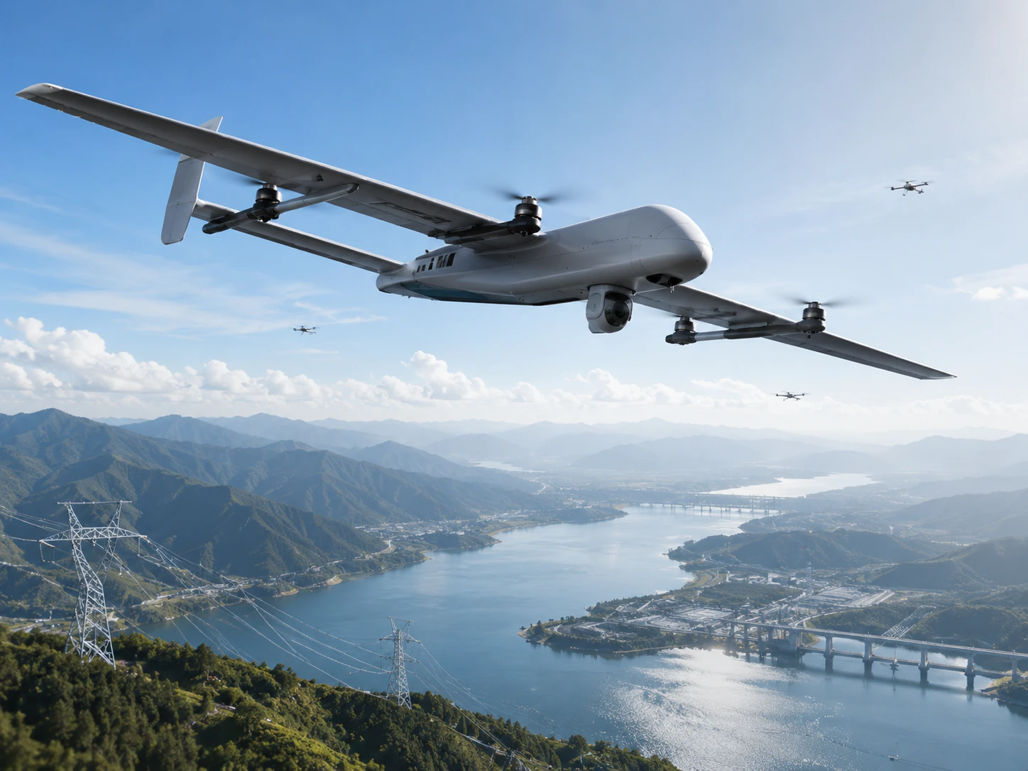
The output is not one optimistic number. It is a usable operating envelope with a clear no-go threshold and contingency landing logic. The same discipline is useful in precision agriculture UAV planning, where repeatable ground resolution matters more than an isolated flight-time claim.
Communication and Mission Planning
Range belongs to the communications architecture
Control-link distance is affected by antenna height, terrain, interference, frequency, bandwidth, aircraft attitude and legal transmit limits. Video and command links may fail at different points. A relay, cellular path or satellite option changes both performance and regulatory exposure.
Ask for link-loss behavior, encryption, authentication, logging and recovery—not only nominal distance. If the operation expects emerging BVLOS pathways, also read the 2026 drone procurement checklist before freezing the system design.
For a route-level service model across direct RF, cellular, satellite and mesh paths, use the BVLOS drone communication system guide before accepting a maximum-range claim.
Put the claim into the acceptance plan
If mapping accuracy matters, test the delivered mapping chain. If hover time with an 8 kg payload matters, test that load in agreed conditions. If deployment time matters, include unpacking, checks and crew roles.
The most useful datasheet is the one that becomes a traceable configuration and a repeatable test. Everything else is a starting point. For emergency missions, connect those tests to the disaster and emergency response workflow and keep project records with the resources in the knowledge hub.
When the short list moves from datasheets to a fixed-wing purchase, the VTOL drone procurement guide turns installed-payload claims into factory and representative site acceptance tests.
Procurement and Testing
Compare aircraft on one mission sheet
Shortlisting becomes easier when every supplier answers the same operating case. Give each bidder the route or area, payload mass and power, required output, elevation, temperature range, wind assumption, reserve policy, launch footprint, crew model and communications constraints. Ask them to return the proposed configuration and show the calculation behind the result.
This prevents a common comparison error: one aircraft is quoted empty, another with a sensor, and a third with an unstated reserve. Put all three into one table and mark any unverified input as open rather than filling it with an assumption.
| Comparison line | Use the same basis for every candidate |
|---|---|
| Installed mass | Aircraft, payload, mount, cabling, computer and required accessories |
| Mission profile | Vertical phases, route, on-station task, return and landing |
| Environment | Elevation, temperature, wind, precipitation and launch surface |
| Energy reserve | Defined landing or diversion reserve under the selected scenario |
| Communications | Route geometry, antenna, frequency, bandwidth and degraded-link action |
| Ground output | Required resolution, accuracy, delivery format and processing time |
Inspect the interfaces behind the headline numbers
A payload limit does not confirm that the aircraft can power, mount, cool, control or record the proposed sensor. Request the mechanical envelope, center-of-gravity range, power rails, available current, data interfaces, command protocol and environmental protection of the installed path. The integration should also specify how timestamps and coordinates are associated with payload data.
For survey work, the RTK vs PPK workflow comparison separates positioning corrections from independent checks of the delivered map. For photovoltaic assets, the drone solar panel inspection guide defines radiometric records, module identification and the handoff from a thermal observation to a maintenance decision.
Ground equipment matters just as much. Antenna deployment, battery charging, fuel storage, software licensing, map updates and data export can decide whether the system is practical for a field crew. Ask which items are included, which are optional and which require local sourcing.
Run acceptance from bench to representative route
Begin with configuration inspection and a weighed mass record. Continue with power, interface, control and fail-safe checks before flight. Flight acceptance should then use the agreed payload and route, with weather and reserve recorded. If the project requires mapping or inspection, judge the delivered dataset rather than counting completed waypoints.
A good acceptance record states pass criteria before the test, identifies who observed it and preserves raw evidence. It should include at least one degraded case, such as link interruption, navigation warning or aborted mission, so the buyer sees how the system and crew recover. This progression turns brochure claims into an operating envelope that maintenance teams can preserve after handover.
FAQs
Why is datasheet endurance different from mission endurance?
Datasheet endurance usually reflects a favorable reference setup. Mission endurance must include the delivered payload, climb, transition, wind, temperature, altitude, battery condition, reserve and contingency.
How can buyers compare industrial UAVs fairly?
Put every candidate on the same mission sheet with identical route, payload output, weather assumptions, reserve policy, communications requirement and acceptance method.
What should an industrial drone acceptance test prove?
It should prove that the frozen hardware and software configuration repeatedly delivers the required business output on a representative route, including communications, recovery and evidence handoff.