An AUV can hold altitude and line geometry more consistently than a surface-towed fish, but autonomy does not automatically produce a better survey. Payload integration, navigation drift, usable swath, seabed relief, energy reserve, launch and recovery, and contact reacquisition determine whether the autonomous approach lowers cost per accepted square kilometre.
Table of Contents
Choose the Carrier Before Comparing Sonar Numbers
Side-scan sonar may be carried by an AUV, towed from a surface vessel, mounted on a hull, or installed on an ROV. These configurations solve different operating problems.
| Configuration | Strongest fit | Main constraint | Typical follow-up |
|---|---|---|---|
| AUV-mounted | Large or deep areas requiring stable altitude and repeatable lines | Navigation, energy, recovery and payload integration | Separate ROV or vessel revisit |
| Vessel-towed fish | Flexible survey spread with live operator control | Tow geometry, vessel motion and snag risk | Adjust tow path or deploy ROV |
| Hull-mounted | Rapid reconnaissance and concurrent bathymetry | Sensor remains far above deep seabed | Targeted lower-altitude survey |
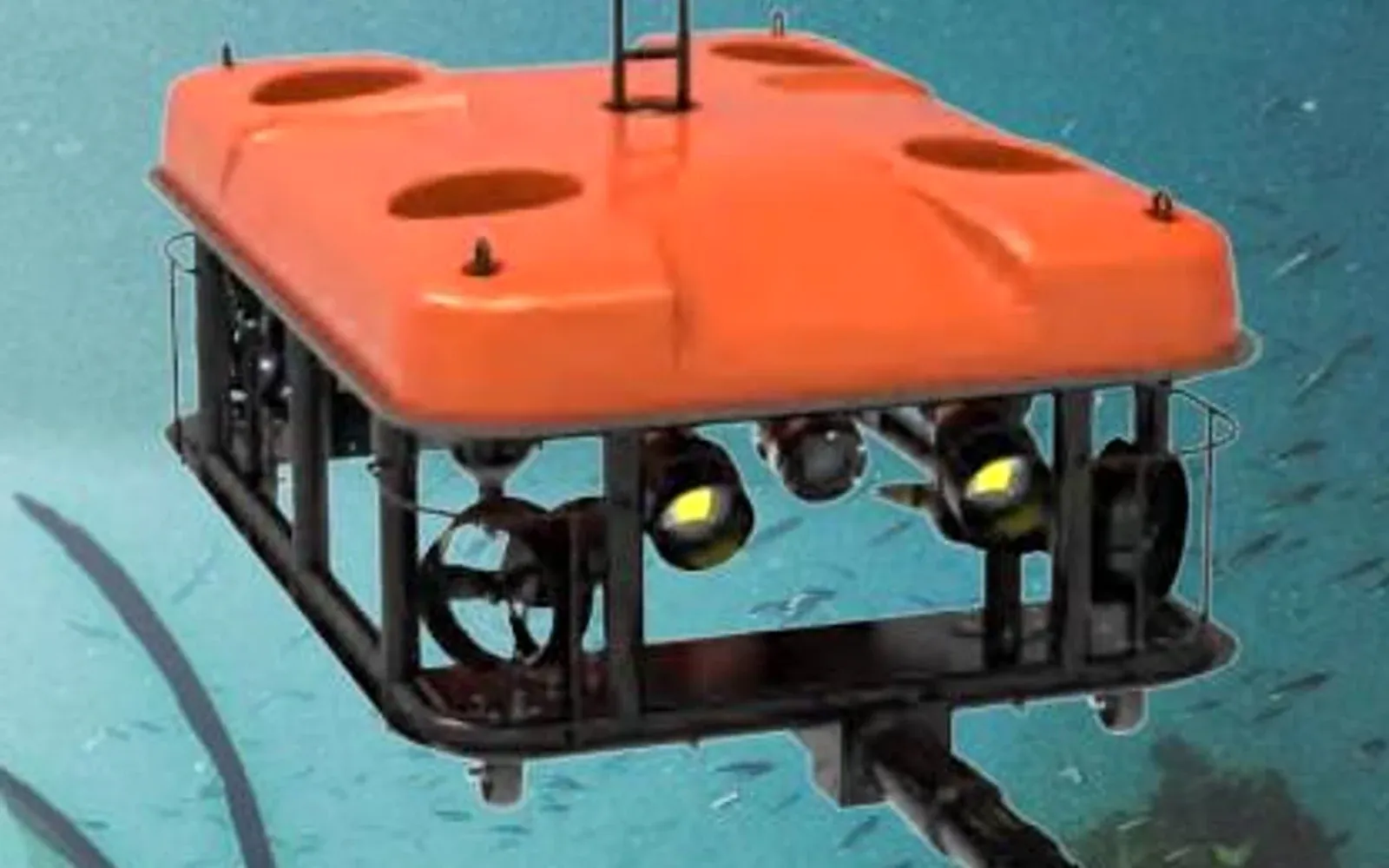
| ROV-mounted imaging or side-looking sonar | Confined areas and immediate visual/manipulator confirmation | Tether, lower survey speed and smaller daily area | Same-vehicle inspection |
“ROV-towed” should not be used as a general synonym for vessel-towed side scan. An ROV can carry sonar, but a conventional towfish normally follows a surface vessel. The ROV and sonar selection guide covers the tool-level distinction.
Payload Integration Is the First AUV Gate
An AUV sonar payload must fit the vehicle’s mechanical envelope and pressure rating without destabilizing its hydrodynamics. It also needs compatible voltage, power, trigger or time synchronization, storage throughput and navigation data. A manufacturer may publish a sonar’s range and frequency without claiming it can operate on an autonomous carrier.
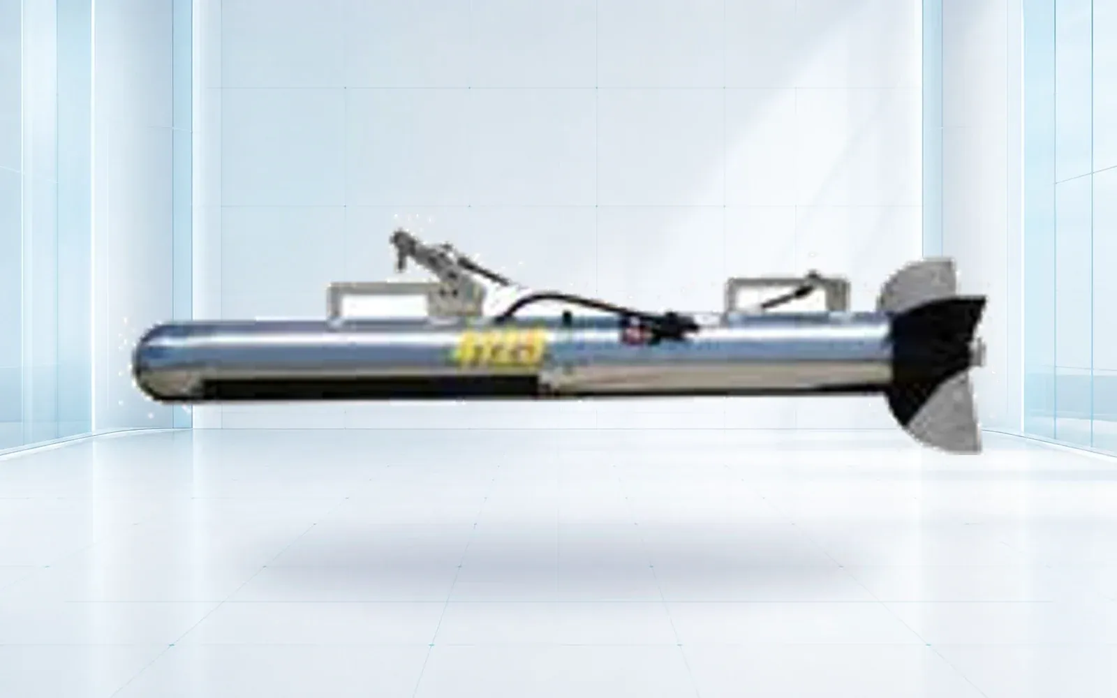
The SNR900U is described in the current OMNI UXV catalog as a dual-frequency towfish system. It is useful as a vessel-towed comparison, but it should not be specified as an AUV payload unless a project-specific integration review confirms the interfaces and vehicle effects.
For an AUV, ask both manufacturers to approve the combined configuration and identify any change to endurance, depth rating, stability, acoustic interference and warranty.
Convert Swath Into Accepted Coverage
Headline swath is not daily production. The usable portion can shrink because of altitude variation, outer-range image quality, seabed slope, nadir gap, line overlap and navigation uncertainty. Coverage estimates also need to say whether “swath” means one side or total port-and-starboard width.
When the required output is an accepted bathymetric surface rather than side-scan intensity imagery, use the multibeam echosounder survey acceptance guide to specify the position, motion, sound-speed, calibration and uncertainty chain.
Use this planning sequence:
- define the smallest target and required probability of detection;
- select a frequency and maximum usable range that support that target;
- set altitude and line spacing with overlap and terrain margin;
- add turns, launch, recovery, transit and rejected-line allowance;
- reserve energy for abort and reacquisition.
Only then calculate accepted square kilometres per mission. AUV line-keeping can reduce gaps and improve mosaics, but the benefit disappears if the vehicle must surface early or contacts cannot be positioned accurately.
Frequency, Resolution and Synthetic Aperture
Higher frequency generally supports finer detail at shorter range; lower frequency supports longer range with coarser target definition. Conventional side-scan along-track resolution also changes with beamwidth and range. Synthetic aperture sonar combines successive pings to improve along-track resolution across the swath, but depends on controlled motion and accurate navigation.
Technical comparisons should state the target size, material and orientation, seabed type, altitude, speed and processing mode. A cell-size claim alone does not prove a detection probability. Sonar shadows often provide more target information than the bright return, so survey geometry must expose the expected target profile.
The selected system should also preserve raw data and processing parameters. A client may need to reprocess a contact after the vessel has demobilized.
Navigation Determines Whether a Contact Is Useful
An AUV normally combines an inertial navigation system with Doppler velocity log aiding, depth sensing and, where needed, acoustic positioning or surface fixes. Clock alignment between navigation and sonar is as important as the nominal position specification.
Define two tolerances separately:
- relative image quality and line-to-line mosaic alignment;
- absolute contact position needed for charting or reacquisition.
A survey can meet the first and fail the second. Acceptance should include a known target or control area, repeat lines from different directions and an independent position check. Log DVL bottom-lock loss, acoustic updates and navigation resets so analysts know which contacts carry larger uncertainty.
Environment and Mission Safety
Current consumes energy and pushes the vehicle off its planned line. Relief changes altitude and acoustic grazing angle. Soft sediment can reduce contrast, while rock and debris create strong returns and clutter. Sound-speed variation affects acoustic geometry and should be measured for the operating water column.
The mission plan also needs launch and recovery limits, lost-vehicle actions, abort logic, exclusion areas, vessel traffic coordination and a recovery reserve. Autonomy moves corrections from the tow operator into pre-launch planning; it does not remove marine operational risk.
For ports and security work, define how an AUV survey hands contacts to the port and water security workflow without blocking navigation or losing chain of custody.
For a quote-level breakdown of towfish, cable, handling, positioning, software, vessel integration, and survey-day production, see the side-scan sonar price guide.
Procurement and Acceptance Package
Request a combined vehicle-payload data sheet, power budget, endurance model, pressure-rating evidence, navigation architecture, raw-data format, processing license, spares plan and launch-and-recovery method. The trial should reproduce the intended altitude, speed, seabed and target classes rather than use an ideal demonstration area.
Price the complete campaign: mobilization, vessel, operators, batteries, recovery contingency, processing, rejected lines and ROV confirmation. Teams can organize the evidence through the resource library and compare current underwater equipment in the underwater ROV and sonar category. For a project-specific carrier and payload review, contact OMNI UXV with the target, depth, coverage and position tolerances.
FAQs
Can any towfish side-scan sonar be installed on an AUV?
No. An AUV payload needs compatible size, weight, power, hydrodynamics, communications, timing, data storage, pressure rating, and navigation interfaces. A towfish specification should not be treated as AUV compatibility without an integration statement from both manufacturers.
Why is AUV navigation quality critical for side-scan sonar?
The sonar image can show a target clearly while placing it inaccurately. INS drift, DVL bottom lock, acoustic aiding, sound velocity, and time synchronization determine whether a contact can be mapped, compared between surveys, or reacquired by an ROV.
How should survey teams compare AUV and towed-system cost?
Compare cost per accepted area after transit, turns, overlap, weather downtime, launch and recovery, processing, rejected lines, and contact verification. AUVs often improve large-area coverage, while small or highly cluttered sites may favor a towed or ROV-mounted system.
Does synthetic aperture sonar always outperform conventional side scan?
Synthetic aperture sonar can maintain fine along-track resolution across a wide swath, but it demands stable motion, navigation quality, processing, power, and platform integration. The target and survey tolerance—not the technology label—should decide whether the added complexity is justified.