A landslide early warning system is not a sensor alarm. It is an end-to-end arrangement of hazard knowledge, maintainable observations, uncertain forecasts, trusted communication and pre-agreed action that must still work when data, power or networks fail.
Table of Contents
- Define the Hazard, Exposed People, and Required Warning Time
- Build a Monitoring Model From Rainfall, Deformation, Flow, and Context
- Select Sensors by Failure Mode and Observable Signal
- Calibrate Thresholds Without Hiding Uncertainty
- Deliver Warnings That Reach Named Decision Makers
- Connect Warning Levels to Prepared Actions and Community Procedures
- Test the Entire Chain With Missed Data, False Alarms, and Outages
- FAQs
Define the Hazard, Exposed People, and Required Warning Time
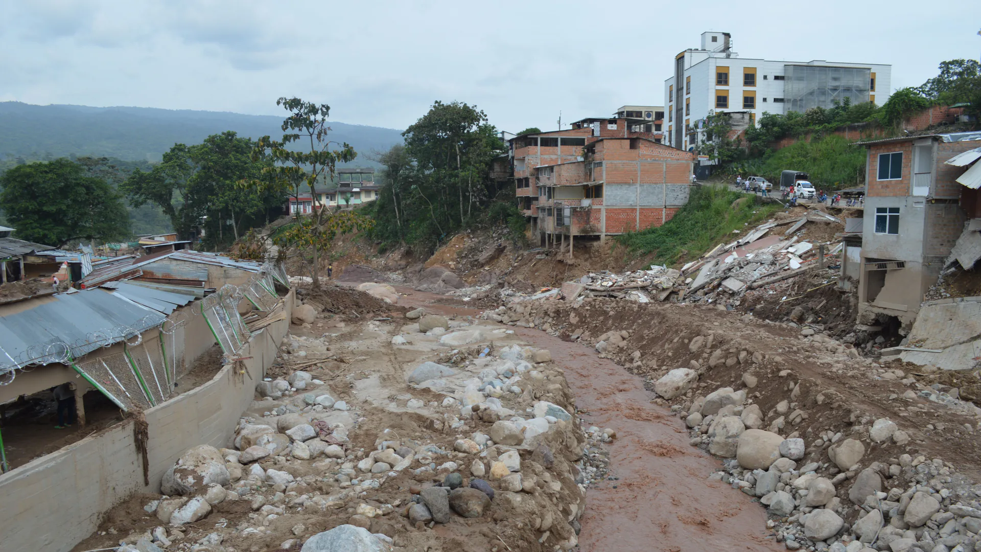
Name the hazard mechanism and scale: shallow rainfall-triggered slide, deep-seated movement, rockfall, debris flow, embankment failure or another site-specific process. Each develops on a different timescale and produces different observable signals. Map people, roads, rail, buildings, utilities and evacuation routes that can be affected.
Work backward from action time. If a road closure needs 20 minutes to implement, the monitoring and decision chain must detect a meaningful change, evaluate it, authorize a warning and deliver it with enough margin. A sensor that detects the event after movement reaches the road is useful for confirmation but not for that warning objective.
The World Meteorological Organization’s Early Warnings for All initiative frames early warning around risk knowledge, observations and forecasting, dissemination, and preparedness to respond. That whole-chain view is more useful than beginning with a product list.
Build a Monitoring Model From Rainfall, Deformation, Flow, and Context
Create a conceptual model linking triggers, slope response and consequences. Rainfall intensity and duration may matter; antecedent moisture and drainage condition may explain why similar storms produce different outcomes. Surface displacement and velocity show movement where instruments can observe it. Debris-flow sensors may observe vibration, sound, flow depth or video after material begins moving.
| Hazard signal | Example sensor | What it supports | Blind spot or ambiguity |
|---|---|---|---|
| Rainfall accumulation or intensity | Rain gauge and weather data | Trigger context and threshold input | Spatial variability and non-rainfall causes |
| Soil moisture or pore pressure | In-ground sensor | Hydrological state near instrument | Local installation and representativeness |
| Surface displacement | GNSS, prism, radar or extensometer | Movement magnitude and trend | Line of sight, point coverage or reference stability |
| Debris-flow motion or level | Seismic, acoustic, level or radar-video sensor | Event detection along a channel | Noise, placement and limited lead time |
| Visual change | Camera, UAV or field observation | Context and confirmation | Weather, darkness, occlusion and subjective review |
| Regional surface change | InSAR or repeat remote sensing | Wide-area screening and trend | Revisit interval, coherence and line-of-sight geometry |
Use independent observations where consequence is high. Agreement can increase confidence; disagreement should prompt diagnosis rather than automatic averaging.
Select Sensors by Failure Mode and Observable Signal
Choose each sensor for a named question and document how it fails. Check field of view, reference stability, range, sampling, power, lightning, enclosure, fouling, communication, time synchronization and maintenance access. Design health telemetry that distinguishes “no change” from “no data.”
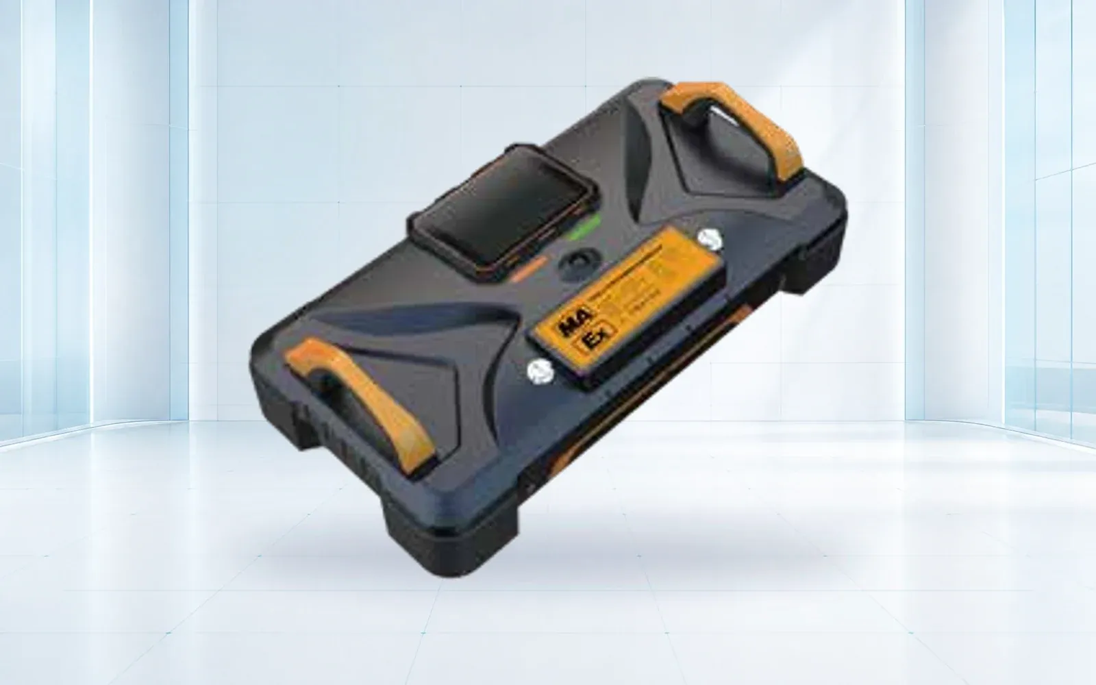
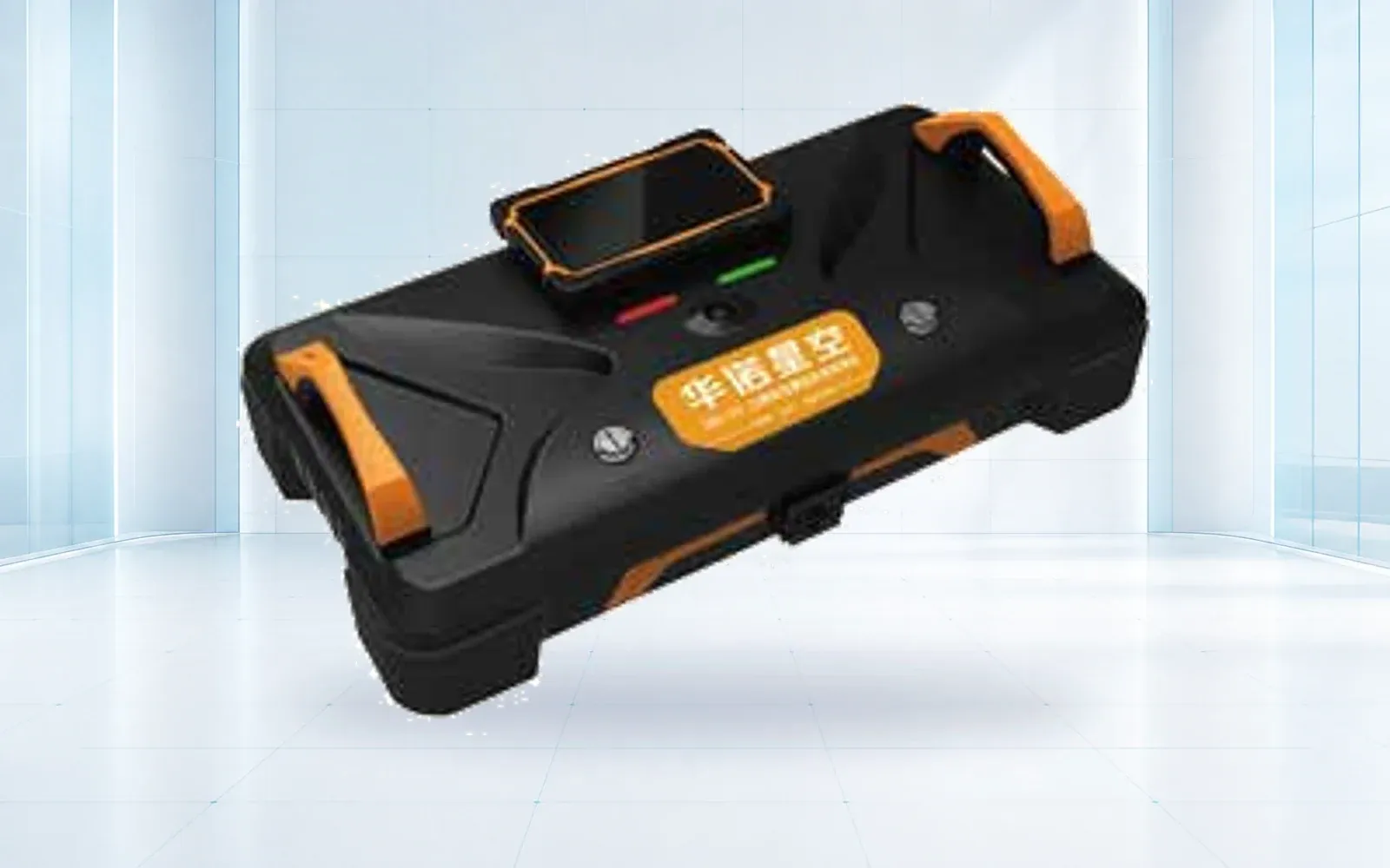
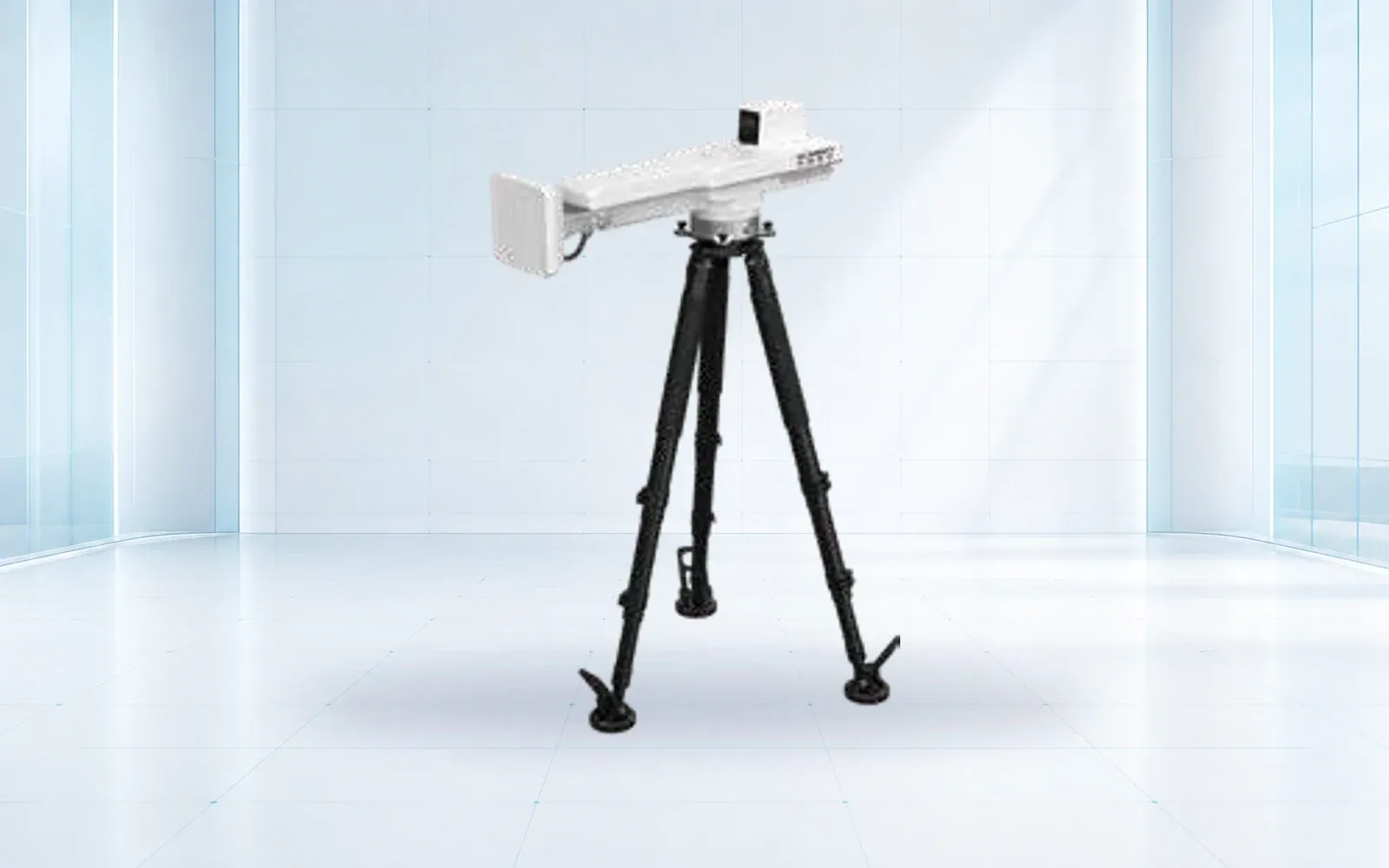
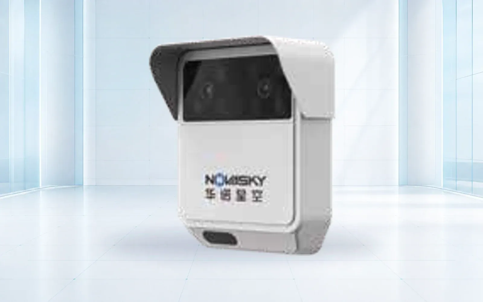
The HAWK-R0D is a radar-video reference for debris-flow monitoring, while HAWK-G902 GNSS can provide point-based displacement corroboration. Verify their exact observables, interfaces and environmental limits for the site instead of assuming they solve every landslide type.
Avoid common-cause failure. Redundant sensors on the same pole, power supply and network are not independent. Place critical communication and power paths so the hazard itself is less likely to remove every observation at once.
Calibrate Thresholds Without Hiding Uncertainty
A threshold is a decision model with a false-alarm and missed-event tradeoff. Calibrate it to the hazard, site, scale, data quality and action. Rainfall thresholds derived in another region should not be transferred without local evaluation. A 2024 NHESS study on intensity-duration thresholds for debris flows illustrates that thresholds are built and validated within a defined setting, not universal constants.
Use levels that reflect increasing evidence and lead to different actions. Record the data window, missing-data rule, hysteresis, persistence and authorized override. Show uncertainty and sensor health to the decision maker; do not convert uncertain input into an unjustifiably precise countdown.
Review performance after storms, seasonal changes, drainage work, excavation, fire, vegetation change and confirmed movement. Keep prior threshold versions and replay events before a material change goes live.
Deliver Warnings That Reach Named Decision Makers
Every message needs an issuer, area, hazard, level, time, expected action, expiration or update time and a way to confirm authenticity. Route operational alerts to named roles and public warnings through the authorized organization. Avoid technical sensor language that the recipient cannot translate into action.
Use multiple delivery paths where necessary, but test receipt rather than counting messages sent. Prepare local procedures for mobile-network failure, power outage, damaged signage and recipients who are asleep, outdoors or do not share one language.
Connect Warning Levels to Prepared Actions and Community Procedures
Pre-agree who checks data, who closes a road, who evacuates, who assists vulnerable people and who issues the all-clear. For each warning level, specify the action, deadline, authority, resources and safe route. Exercise the procedure with the people who must carry it out.
The disaster and emergency response solution places warning inside a wider command and resource system. For a monitored mine or engineered slope, the deformation alarm design guide explains how measurement states connect to operational controls without turning one sensor threshold into a geotechnical conclusion.
Community engagement is part of technical acceptance. Recipients need to recognize the warning source, understand uncertainty and know what action is safer than waiting for more information.
Test the Entire Chain With Missed Data, False Alarms, and Outages
Run table-top, communications and field drills. Inject missing sensors, bad time, frozen values, threshold crossings, conflicting evidence, false positives, loss of power, network failure and an unavailable decision maker. Measure detection, decision, authorization, delivery, acknowledgement and action time.
Review false alarms without simply raising the threshold. The cause may be placement, environmental interference, data quality, model design or procedure. Review near misses and unobserved areas with the same discipline. Publish a maintenance and revalidation schedule tied to seasonal and site changes.
Use the USGS Landslide Hazards Program and its early warning system resources for hazard-science context, then adapt the system to local expertise and authority. To build an end-to-end acceptance exercise, contact OMNI UXV with the hazard model, exposed assets, required lead time and existing warning channels.
FAQs
What are the essential parts of a landslide early warning system?
The system needs hazard and exposure knowledge, monitoring and forecasting, warning dissemination, prepared response, governance, maintenance and end-to-end exercises. A sensor network without a trusted decision and action path is only monitoring.
Can rainfall thresholds predict every landslide?
No. Rainfall thresholds are tied to a hazard model, data history, spatial scale and validation. Landslides can also depend on geology, antecedent moisture, drainage, construction, erosion and deformation that rainfall alone does not capture.
Which sensors are used for landslide and debris-flow warning?
Programs may use rain gauges, soil moisture or pore pressure, GNSS, survey instruments, ground radar, extensometers, seismic or acoustic sensors, flow or level sensors, cameras and remote sensing. Each should have a defined observable and failure mode.
What should an end-to-end warning-system drill test?
Test detection and missing data, threshold review, authorization, message generation, redundant delivery, receipt and understanding, protective action, escalation, all-clear, logging, public communication and recovery after a power or network outage.