The best search-and-rescue drone is the system a trained team can deploy quickly, fly legally, communicate through incident command, and use to find actionable evidence in the actual terrain. Payload resolution alone does not overcome thermal ambiguity, weak links, slow setup, poor search design, or an untested handoff.
Table of Contents
- 1. Define the Search Decision and Operating Environment
- 2. Select Daylight, Thermal, Lighting, or Life-Detection Payloads
- 3. Match Aircraft, Link, and Field Kit to the Response Window
- 4. Integrate the Drone With Incident Command
- 5. Plan Authorization, Airspace, and Data Handling
- 6. Test Detection With Blind Field Exercises
- 7. Buy a Deployable Capability, Not a Payload List
- 8. FAQs
1. Define the Search Decision and Operating Environment
A search-and-rescue drone is not one aircraft type. It is an airborne search capability made from the aircraft, sensing payload, field power, communications, authorization, trained crew, search plan and ground-team handoff. It can shorten observation time over accessible terrain, but it does not certify that an obscured sector is clear and it does not replace incident command or ground confirmation.
This guide evaluates a purchase by tracing each incident decision to a visible cue, a known blind spot, a confirmation method and an acceptance record. That boundary separates equipment procurement from the broader governance and staffing questions covered in the program guide.
Separate missions that are often grouped under “search and rescue.” Rapid route reconnaissance, missing-person search, flood observation, structural collapse, wildfire perimeter support and delivery of a radio or flotation device create different aircraft and risk requirements. Define what the aerial team must tell incident command and how quickly that information remains useful.
Build scenarios around terrain, vegetation, buildings, water, altitude, temperature, wind, precipitation, day/night conditions, launch access and communications. State likely target posture, clothing, mobility and time since last known point. These variables change detectability and the value of thermal, daylight, zoom, lighting or life-detection sensors.
Use a decision-led output such as “searched sector with recorded coverage and unresolved obscured areas,” not “one hour of video.” Map gaps and uncertainty so incident command does not mistake an aerial pass for clearance of an area.
2. Select Daylight, Thermal, Lighting, or Life-Detection Payloads
A stabilized daylight camera supports recognition, route assessment, color and contextual evidence. Optical zoom can assess a distant cue without moving the aircraft as close, but atmospheric conditions and vibration limit useful detail. Thermal can reveal temperature contrast at night or in open terrain, yet it does not identify a person by itself and does not see through walls.
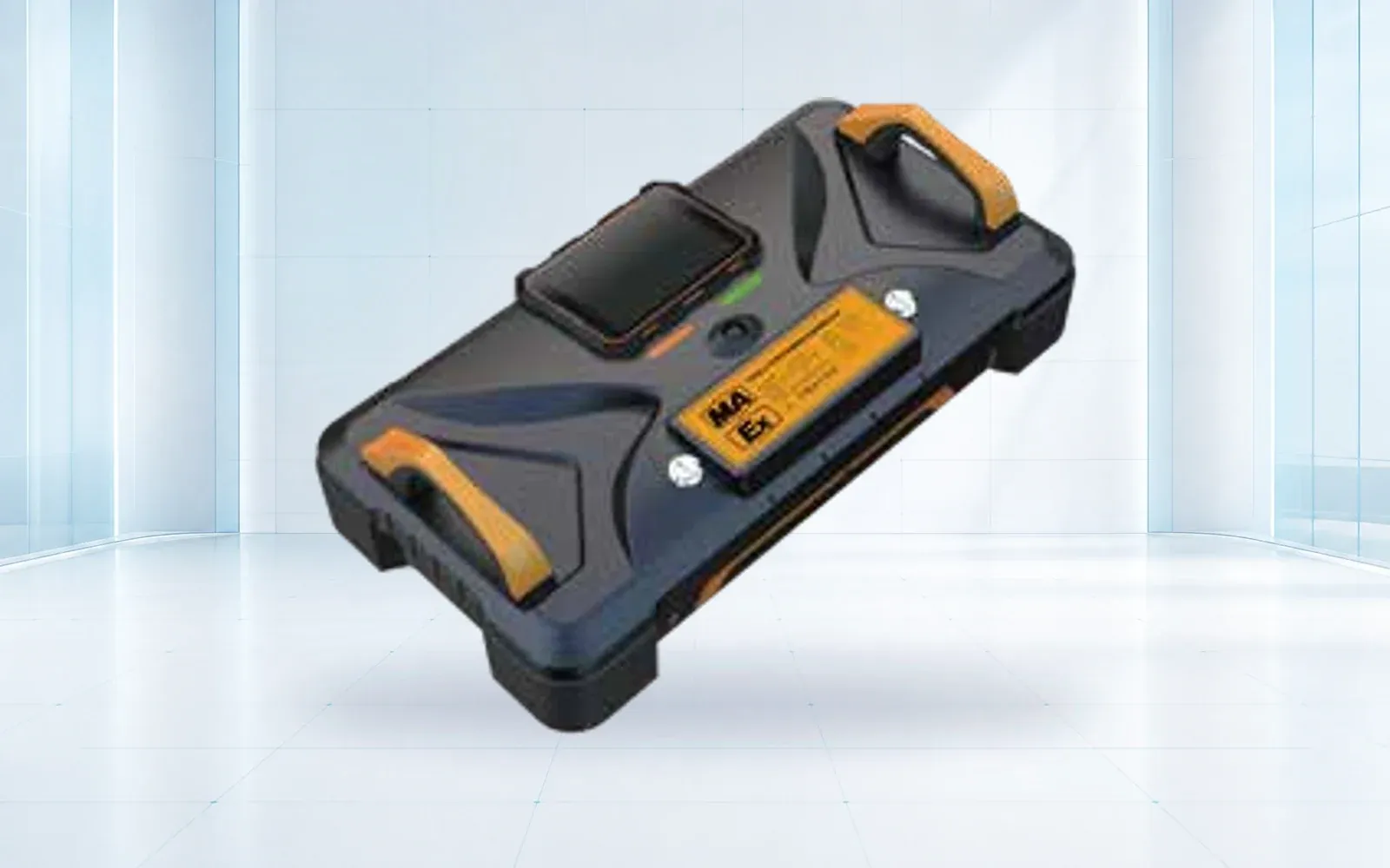
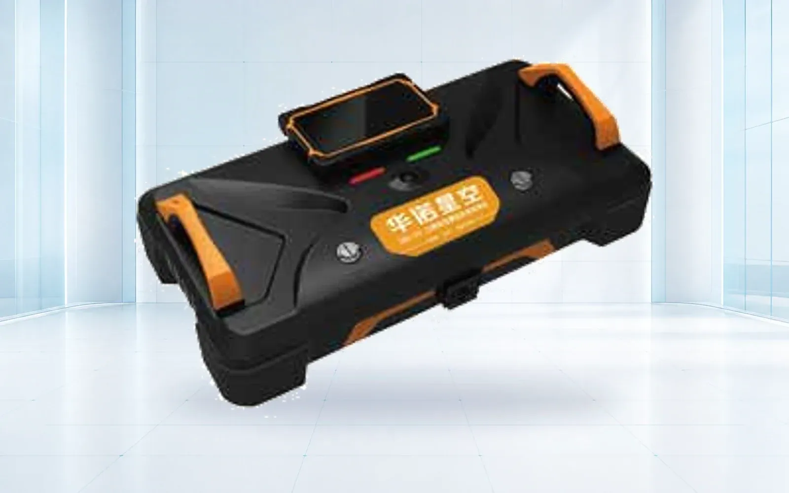
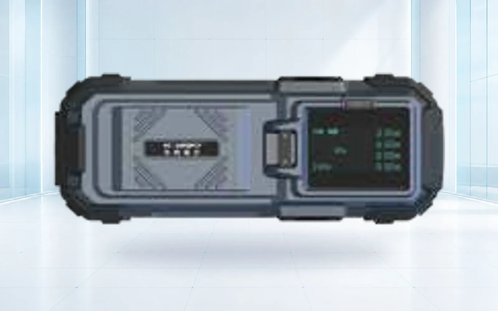
Lighting, speaker and payload-delivery options can support communication or immediate aid, but each changes endurance, handling and operating risk. Specialized life-detection sensors can support a focused search after the area is narrowed. The airborne life-detection DN-UAV and DN-III radar life detector represent different deployment concepts; confirm the sensing claim, environment and test evidence for the exact configuration.
| Search condition | Primary cue | Important blind spot | Secondary confirmation |
|---|---|---|---|
| Open terrain, daylight | RGB/zoom shape, color and movement | Shadows, scale and partial cover | Ground team or closer authorized view |
| Open terrain, night | Thermal contrast | Warm rocks, animals, cooling bodies | Daylight/low-light image and ground response |
| Forest or dense brush | Intermittent thermal/RGB cues | Canopy and line-of-sight blockage | Ground search, canine or other asset |
| Flood or swift water | Color, thermal and motion context | Reflection, spray and submersion | Boat/ground responder confirmation |
| Collapse void | Narrowed location and specialized sensing | Reinforcement, geometry and machinery vibration | Technical-search instrument and rescue team |
Procure only payloads that fit an assigned search method and confirmation path. A larger sensor list can slow launch and increase training burden without improving decisions.
3. Match Aircraft, Link, and Field Kit to the Response Window
Measure time from vehicle stop to useful video at incident command. Include unpacking, setup, airspace checks, payload configuration, link establishment and launch. A compact multirotor often supports fast local deployment; wider-area or longer missions may justify a different aircraft, but site access and authorization can dominate theoretical endurance.
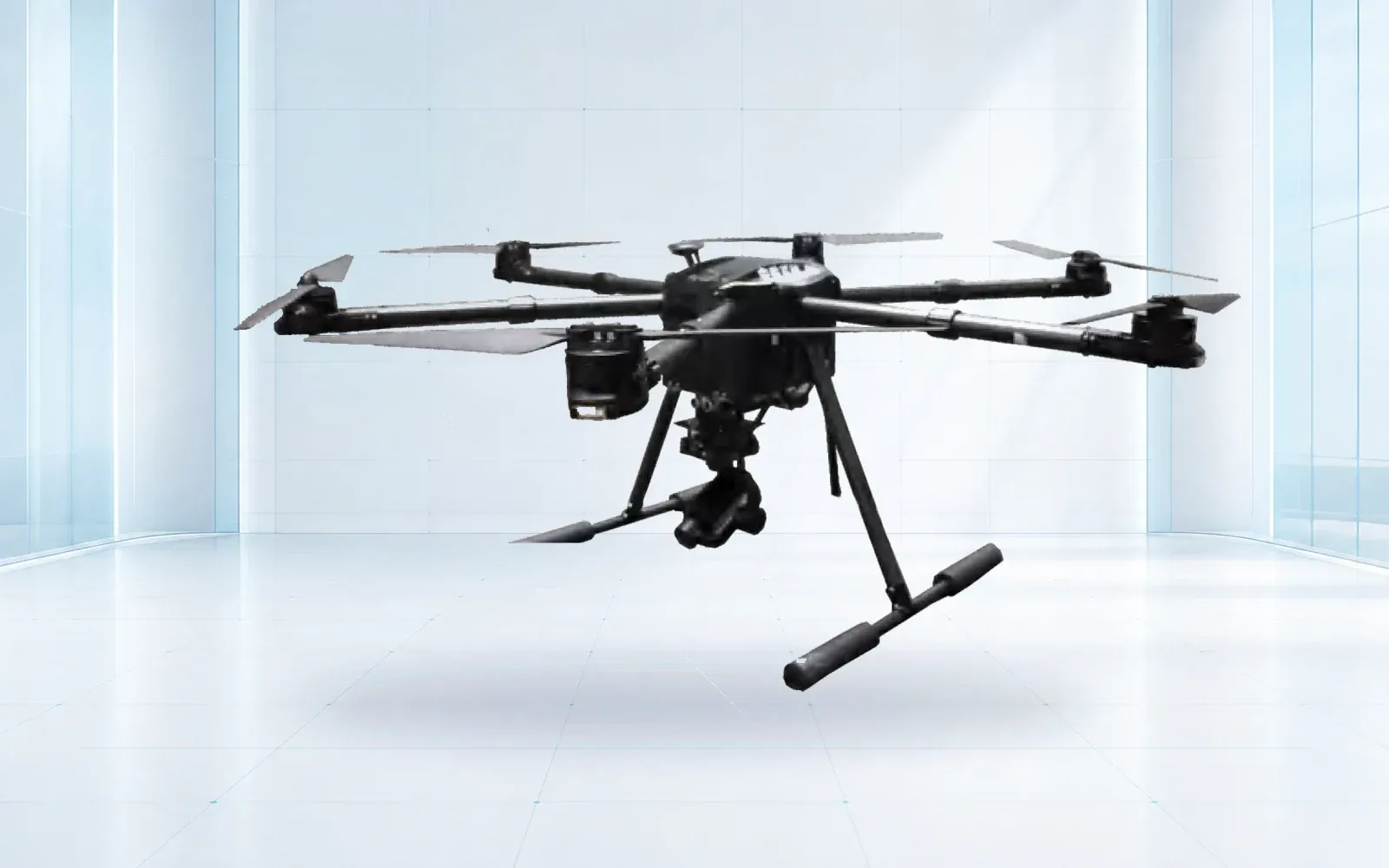
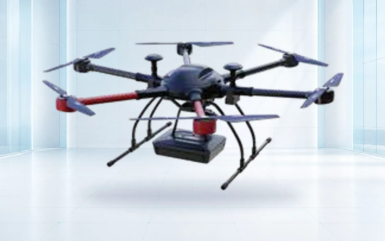
The F4 waterproof multirotor is a reference for field operations where weather resistance and close control matter. Confirm precipitation, wind, temperature and payload limitations for the delivered configuration rather than relying on the model name.

Price batteries, multi-source charging, a generator or vehicle-power plan, spares, propellers, memory, maps, lighting, weather protection, transport and PPE. Test the command link beyond convenient line of sight to the pilot while remaining inside legal and operational limits. Define lost-link behavior and prevent an automatic route from creating a new hazard.
4. Integrate the Drone With Incident Command
Assign roles before deployment: remote pilot, payload operator, visual observer, air boss or aviation coordinator, search planner, evidence custodian and ground-team liaison. One person may fill multiple roles in a small incident, but the duties must still be explicit.
Use sector identifiers, coordinate format and a common map. A cue should include time, coordinates, confidence, visible evidence, approach hazards and whether the location is direct or estimated. Confirm the receiving team repeats the location correctly. Preserve the original frame or clip and the operator’s interpretation separately.
Plan coexistence with helicopters and other UAS. Incident command should have a process to ground the drone immediately and communicate its status. The broader emergency-response drone program guide covers governance, training and program sustainability; this page concentrates on field capability and procurement.
5. Plan Authorization, Airspace, and Data Handling
The FAA provides a dedicated Emergency Situations process for qualifying needs. Its current guidance explains routes for public operators and Part 107 pilots and notes that some beyond-visual-line-of-sight requests typically involve a temporary flight restriction and more coordination. Do not assume that the urgency of an event automatically authorizes the planned operation.
Agencies building a standing capability should use the FAA’s Public Safety Drone Programs resources and establish normal authorizations before an emergency. For routine small-UAS operations, the Part 107 overview remains a starting point.
Define collection, live sharing, retention, public disclosure, victim privacy and evidentiary handling. Limit views to operational need, record exports, and establish rules for bystanders and private property. Cybersecurity and access controls apply even when deployment is urgent.
6. Test Detection With Blind Field Exercises
Set the scoring sheet before the crew sees the exercise. The following fields prevent a fast but incomplete aerial pass from being counted as mission success:
| Exercise measure | Required record | Failure that must remain visible |
|---|---|---|
| Time to useful feed | Vehicle-stop, power-on, launch and command-view timestamps | Setup delay hidden by starting the clock at takeoff |
| Search coverage | Planned and flown tracks plus obscured or skipped cells | A sector marked complete despite canopy, terrain or link gaps |
| Cue performance | Target/no-target result by condition and payload | Warm objects or animals reported only as successful detections |
| Location handoff | Coordinate format, uncertainty and responder acknowledgement | Operator sees a cue but the ground team cannot reproduce the location |
| Operational resilience | Battery, link, aircraft-conflict and weather-stop events | Mission completion without recording degraded or aborted segments |
Use representative terrain and conceal some target locations and states from the flight crew. Include empty sectors, people, animals, warm objects, partial cover, stationary and moving targets, and several clothing or blanket conditions. Run daylight and thermal periods and record weather and surface temperature.
Score deployment time, planned-versus-observed coverage, probability of cueing, false cues, geolocation error, time to classify, link interruptions and time for a ground team to receive and reach the location. Separate “operator noticed something” from “responder received actionable coordinates.”
Exercise battery rotation, loss of link, unexpected crewed aircraft, weather stop, evidence export and handover between crews. Keep failures in the report. The purpose is to establish a known operating envelope and training needs, not to produce a perfect demonstration.
7. Buy a Deployable Capability, Not a Payload List
Normalize bids to the same scenarios, delivered kit, authorization support, training, spares, software, communications, warranty, repair route and field acceptance. Ask for setup time and mission endurance with the installed payload, environmental assumptions and battery reserve. Require sample raw data and a coverage/evidence report.
Use the disaster and emergency response solution to connect aerial search with life detection and command workflows, and compare aircraft through the industrial UAV category. The resource center can support requirements and training records. For a field-kit configuration and blind exercise plan, contact OMNI UXV with mission types, terrain, response time, authorization, communications and confirmation assets.
8. FAQs
Can a thermal search-and-rescue drone see through walls or dense cover?
No. Thermal cameras measure surface radiation and may reveal exposed or partially visible heat patterns, but walls, roofs, dense vegetation, water and thermal clutter can block or confuse a target.
When can public safety agencies request emergency drone authorization?
Eligible operations may use the FAA emergency process, including Special Governmental Interest procedures, but the route depends on existing authorization, mission and airspace and must be coordinated for the event.
What equipment belongs in a deployable SAR drone kit?
The kit normally includes the configured aircraft and payload, batteries, charging and power, spares, communications, maps, lighting, weather protection, data media, checklists and transport cases.
How should a search-and-rescue drone be acceptance-tested?
Use blind targets and no-target sectors in representative terrain and weather, then score deployment, coverage, detection, false cues, location, communications and handoff to ground teams.