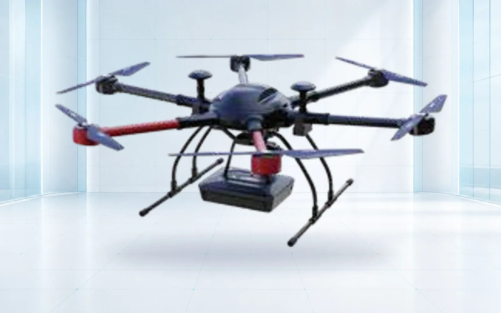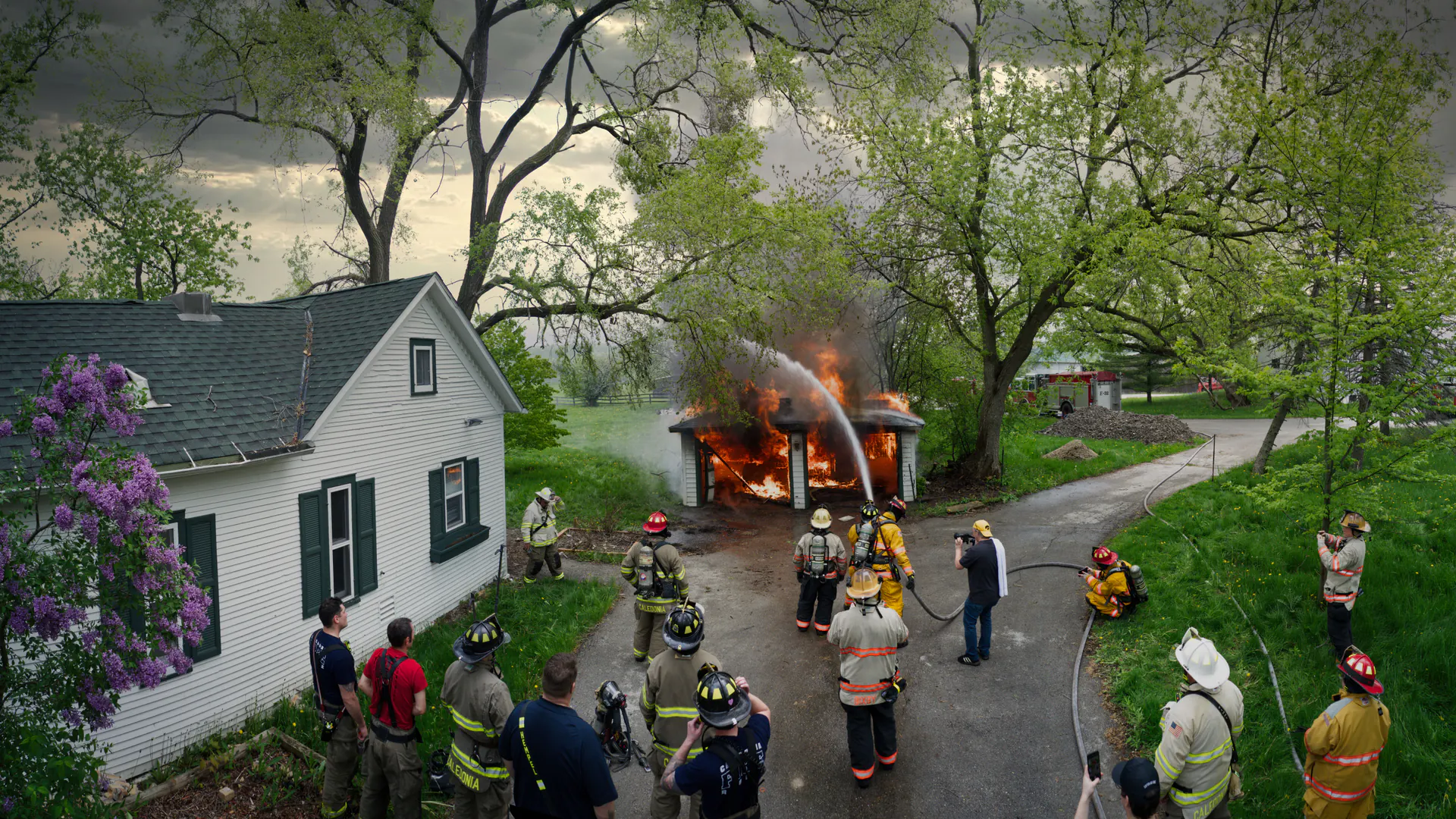
An emergency response drone becomes a capability only after the agency has defined incident decisions, command roles, airspace access, communications, data handling, maintenance and exercises. Buying an aircraft without that program creates another device to manage at the worst possible time.
Table of Contents
- 1. Define the Incident Decisions a Drone Must Support
- 2. Put the Drone Team Inside Incident Command
- 3. Prepare the Airspace and Emergency Approval Path
- 4. Match Aircraft and Payloads to Assessment, Lighting, Relay, and Search
- 5. Design Communications and Data Handoffs for Degraded Networks
- 6. Control Evidence, Privacy, Cybersecurity, and Public Information
- 7. Build Readiness Through Exercises, Maintenance, and After-Action Review
- 8. FAQs
1. Define the Incident Decisions a Drone Must Support
Begin with decisions that matter during a response: whether a road is passable, where water is advancing, whether a roof is unsafe, where a thermal anomaly needs ground confirmation, or which area has not yet been searched. Assign a named recipient and a maximum useful delivery time to each output.
Avoid a generic list of drone applications. “Provide a georeferenced access map to Planning within 20 minutes” is testable; “improve situational awareness” is not. Define the minimum spatial detail, update interval, location confidence and annotation needed to act.
The U.S. Department of Homeland Security’s Drone as First Responder assessment illustrates a program and workflow perspective rather than an aircraft-only purchase. Agencies should adapt that perspective to their authority, incident types and mutual-aid environment.
2. Put the Drone Team Inside Incident Command
Place the drone unit in the incident organization before deployment. Define who can request a mission, who approves launch, who deconflicts airspace, who monitors safety and who receives the output. A pilot should not have to negotiate five competing video requests while flying.
Use a standard task card containing incident objective, location, hazard, airspace state, payload, deliverable, recipient, communications channel and termination conditions. Report aircraft status in the same rhythm as other resources. If the drone unit cannot contact its supervisor or air operations function, it should have a predetermined safe state.

3. Prepare the Airspace and Emergency Approval Path
Map normal operating authority, controlled airspace, nearby airports, temporary restrictions and mutual-aid procedures before an incident. Keep current registrations, pilot qualifications, aircraft records, contact details and request templates available offline.
For U.S. operations, the FAA publishes an emergency situations process and a public safety toolkit. These sources should be checked during planning and again at activation; an emergency does not erase airspace coordination, manned-aircraft deconfliction or operating limitations.
Include helicopters, temporary towers, other agency drones and restricted landing zones in the air plan. Establish lighting, altitude and call-sign conventions for low-visibility and night work where authorized.
4. Match Aircraft and Payloads to Assessment, Lighting, Relay, and Search
| Mission | Required output | Payload or configuration | Critical limitation |
|---|---|---|---|
| Rapid damage assessment | Georeferenced overview and blocked routes | Mapping or stabilized visible camera | Weather, location quality and processing time |
| Heat anomaly search | Marked thermal observation for confirmation | Radiometric or qualified thermal sensor | False contrast, occlusion and interpretation |
| Scene lighting | Defined illuminated area for a set duration | Lighting payload with safe aiming | Power, glare, shadow and people below |
| Communications relay | Tested coverage improvement for named users | Compatible relay and network management | Backhaul, congestion and common power failure |
| Broadcast or small delivery | Message or item delivered to a defined point | Loudspeaker or release system | Authority, accuracy, downwash and ground risk |
| Airborne specialized sensing | Search cue with uncertainty | Mission-specific sensor | It does not independently confirm a person or condition |
For night scenes, the drone searchlight guide turns the general lighting task into target illuminance, beam geometry, installed endurance, glare controls and a realistic acceptance exercise.
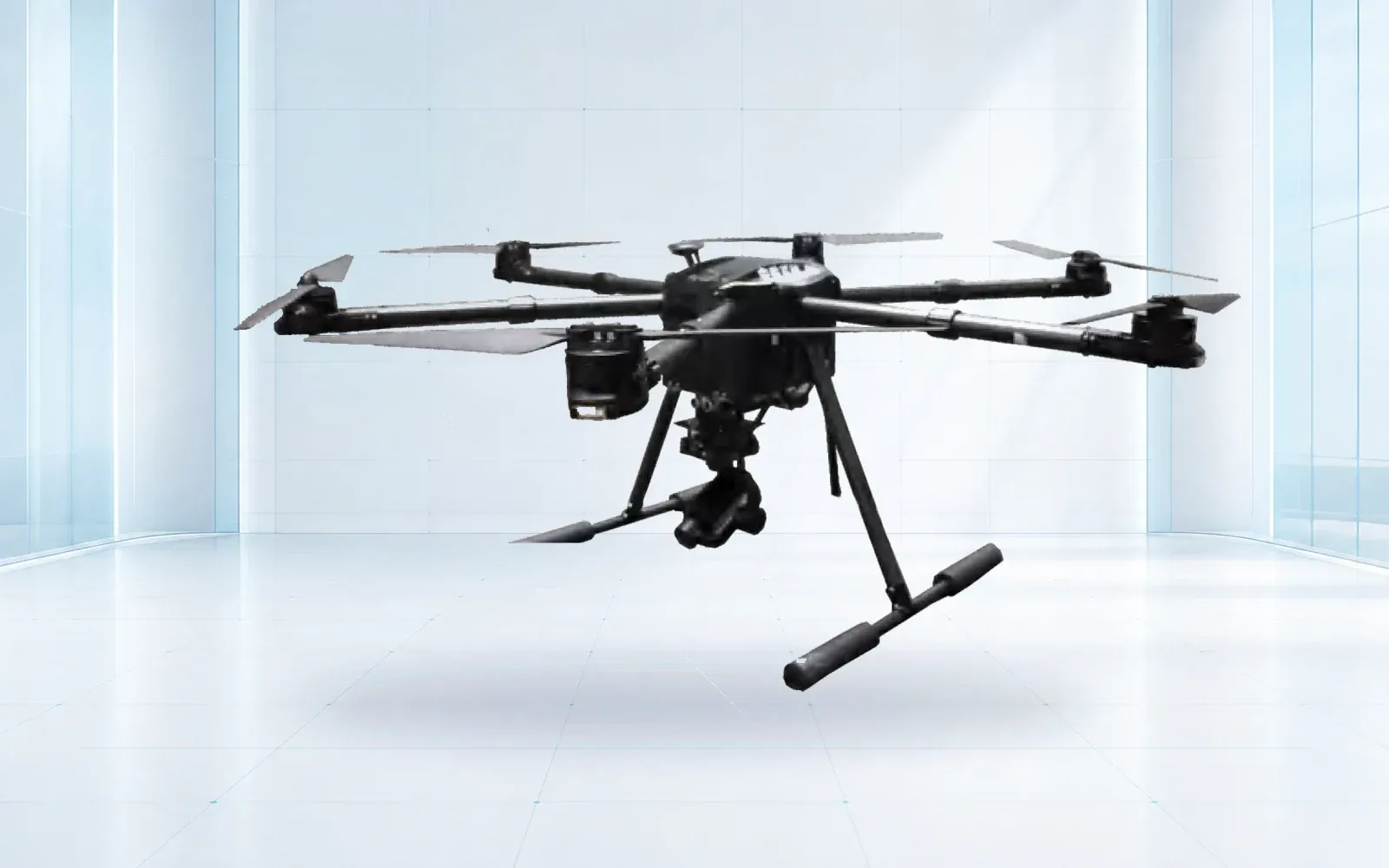
The industrial UAV category provides aircraft options, while the F4 is a reference rapid-deployment configuration. The airborne life-detection DN-UAV must be treated as a specialized cueing system whose exact output and conditions are verified before use; it should not be described as independently confirming a survivor.
For the equipment decision, the search-and-rescue drone buyer’s guide turns incident scenarios into payload, field-kit, authorization, handoff and blind-exercise requirements.
5. Design Communications and Data Handoffs for Degraded Networks
Assume public cellular service, site power or cloud access may be degraded. Separate safety-critical C2 from payload data and decide what can be recorded locally. Prepare radio or wired alternatives for tasking, status and delivery of a small priority product.
Do not send every full-resolution file to every role. A field operator may need a marked still, Operations may need a live location, and Planning may need an orthomosaic later. Define formats, coordinate reference, file naming and the system of record. Test transfers at the network edge and when identity services are unavailable.
For missions that depend on multiple bearers or relays, use the BVLOS communications design guide to define service and lost-link behavior rather than relying on a single maximum-range number.
6. Control Evidence, Privacy, Cybersecurity, and Public Information
Decide when media is operational information, evidentiary material, personal data or public-information content. Limit access by role, record exports and preserve original files when required. Create a redaction and release path so pilots are not making disclosure decisions during flight.
Encrypt devices and links where supported, inventory removable media, control software updates and prepare for a lost aircraft. Record automated detections as machine-generated cues with version and confidence, not as verified facts.
Local law and policy determine where cameras may point, how long data is retained and how an agency communicates with the public. Build those controls into the workflow and procurement requirements rather than adding them after deployment.
7. Build Readiness Through Exercises, Maintenance, and After-Action Review
Readiness has to be measured. Track deployable aircraft, current pilots, charged and healthy batteries, payload status, launch kits, spares, offline maps and the time from request to a useful output. The FEMA authorized equipment listing for small UAS can inform U.S. grant and equipment categorization, but it does not replace a mission acceptance test.
Exercise more than flight. Include an urgent airspace request, conflicting aircraft, a failed battery, poor network service, task reassignment, an uncertain observation, media release and a complete demobilization log. Afterward, assign corrective actions to procedures, equipment, training and integrations.
Use the disaster and emergency response solution and life-detection evidence workflow to connect aerial assessment with field search. To build a readiness test around your incident types, contact OMNI UXV with the command structure, operating authority, communications environment and required outputs.
8. FAQs
What should an emergency response drone program prepare before an incident?
Prepare mission definitions, trained roles, airspace and mutual-aid procedures, aircraft and payload configurations, communications and data handoffs, privacy controls, maintenance status, launch sites, checklists and recurring exercises.
How can a U.S. public-safety agency request emergency airspace access?
The FAA publishes an emergency operations process that includes Special Governmental Interest requests for qualifying situations. Agencies should establish eligibility, contacts and documentation in advance and confirm the current process for each incident.
Which payloads are useful during disaster response?
Useful payloads depend on the decision: mapped imagery for access assessment, thermal sensing for heat anomalies, lighting or loudspeaker equipment for a defined task, communications relay for a tested coverage gap, and specialized sensing that still requires confirmation.
What should an emergency drone exercise test?
Exercise the full chain from request and airspace check through launch, deconfliction, data delivery, task reassignment, link degradation, battery rotation, public-information handling, demobilization and after-action review.