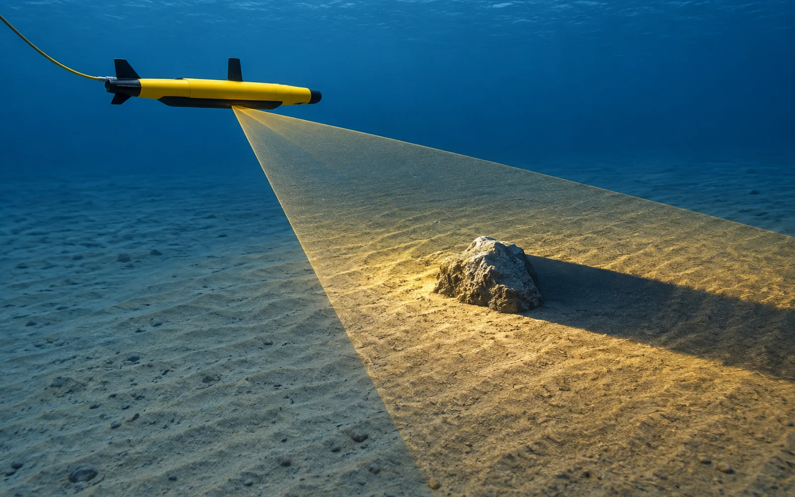
A side-scan sonar contact is shaped by acoustic return strength, the direction of illumination and the seabed around it. Its shadow can reveal that something rises above the bottom, but it cannot identify material or condition on its own. Preserve geometry before turning a contact into a finding.
Table of Contents
What creates an acoustic shadow?
An object or terrain feature can block the acoustic path to the seabed behind it. The resulting low-return region depends on sonar position, altitude, target shape and the local bottom.
NOAA’s side-scan overview describes how strong and weak echoes form an image and help map objects on the seafloor. Its example display uses one intensity convention. Other systems can invert or recolor that convention, so “dark” and “bright” are not universal physical classifications.
Start by identifying which side of the image corresponds to port or starboard, the direction of travel, the water-column region and the display palette. A rotated export without orientation metadata can reverse the interpretation of a shadow.
Read the target and its surroundings together
A raised contact often combines a stronger return on the illuminated side with reduced return behind it. Soft sediment, changing incidence angle, terrain and processing can also create contrast. Look for a coherent geometric explanation across neighboring pings.
Avoid identifying a pipe, cable or piece of debris from an isolated crop alone. Retain enough surrounding seabed to test the interpretation. An apparent discontinuity may result from acoustic shadow, a turn or a data gap.
| Pattern | Possible interpretation | Next evidence |
|---|---|---|
| Local return with a consistent trailing shadow | Raised feature | Repeat line with known geometry |
| Broad low-return area following a ridge | Terrain masking | Different line or altitude within survey limits |
| Stripe repeated along many unrelated objects | Acquisition or processing artifact | Raw data and settings review |
| Contact visible from only one direction | Orientation effect or partial masking | Controlled alternative view |
| Similar shapes at different positions | Repetitive seabed or navigation issue | Context and independent position check |
Can shadow length estimate object height?
Under a simplified flat-bottom geometry, a sonar at altitude H viewing an object at horizontal range R with a ground shadow length L gives object height h ≈ H × L / (R + L). The relationship follows similar triangles.
For an illustrative H of 10 m, R of 30 m and L of 6 m, the result is about 1.67 m. This is not a measurement to apply directly to arbitrary image pixels. The ranges must be horizontal ground distances; slant-range imagery needs appropriate correction.
Uneven bottom, target shape, uncertain altitude, weak shadow boundaries and oblique orientation can invalidate the estimate. Report the assumptions and uncertainty. For a consequential dimensional decision, obtain a suitable survey or close inspection rather than reporting an apparently precise height from an ambiguous shadow.
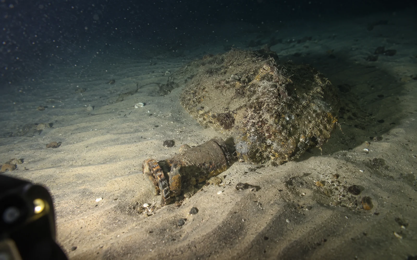
How should a contact be handed to the ROV team?
Create a contact card containing target ID, source line and timestamp, unedited image context, range, orientation, sonar settings, estimated location and navigation quality. Add the reason for interest and the evidence still needed.
Provide a search area appropriate to the localization uncertainty. A single map pin without an uncertainty statement can waste the ROV team’s time. Retain the unsuccessful search if the contact cannot be reacquired.
The ROV sonar inspection article covers the transition from search to close inspection. The AUV survey guide addresses platform and acquisition choices; neither makes an acoustic contact equivalent to a confirmed defect.
Define the decision before acquiring more imagery
Decide whether the client needs object detection, dimensional information, material identification or condition assessment. Each can require a different next observation. Repeating the same ambiguous geometry may produce more files without resolving the question.
The contact register should preserve both the sonar observation and its interpretation. Record the position, viewing geometry and follow-up result so uncertain contacts remain distinguishable from confirmed objects.
FAQs
Does a dark area always indicate an acoustic shadow?
No. Display palettes differ, and weak returns can also come from seabed properties or geometry. Interpret signal strength and context rather than color alone.
Can a sonar shadow identify an object's material?
No. A shadow can support a geometric interpretation, but material and condition generally require additional observations or another inspection method.
Why repeat a contact from another direction?
A different view changes acoustic illumination and can reveal hidden geometry or artifacts. Preserve both passes and their navigation quality.