Port inspections become expensive when divers, ROV crews, surveyors, and structural engineers create separate records for the same asset. A useful lifecycle begins with one spatial asset register, assigns each method a defined evidence role, and preserves observations so defects can be relocated and compared after tides, fouling, repairs, and crew changes.
Table of Contents
1. Create a Spatial Asset Register
Give every quay section, pile, fender, mooring point, revetment, scour zone, intake and hull area a stable identifier. Link drawings, coordinates, vertical datum, material, installation date, prior findings and repairs to that identifier.
The register is the inspection backbone. Without it, “corrosion near berth 4” cannot be compared reliably across crews or years. Above- and below-water teams should use the same segmentation at the waterline so a crack or impact can be traced through the complete structure.
| Asset or condition | Wide-area method | Close method | Decision evidence |
|---|---|---|---|
| Quay wall geometry | Multibeam or imaging sonar | ROV video and scale | Location, dimensions and change |
| Pile corrosion or damage | ROV visual and imaging sonar | Cleaning plus qualified NDT | Material loss or defect measurement |
| Scour and seabed change | Multibeam or side scan | Targeted ROV confirmation | Georeferenced surface difference |
| Fender and mooring condition | Above-water survey and ROV | Close visual or NDT | Component condition and load-path concern |
| Hull fouling or damage | ROV or diver visual | Cleaning and class-required method | Surveyor-accepted record |
2. Baseline Before Trend
The first campaign should establish geometry and evidence quality rather than make unsupported deterioration claims. Record coverage, blind areas, position uncertainty, water level, current, visibility, fouling and sensor configuration.
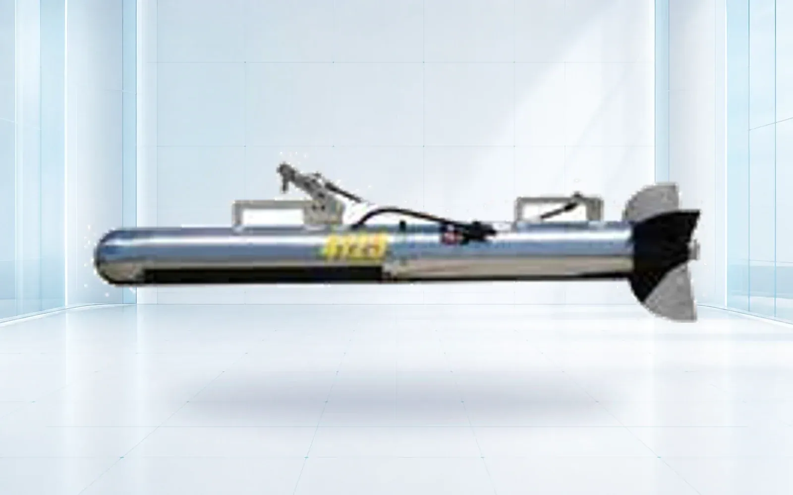
Above water, use controlled photography, survey and appropriate material testing. Where an aerial platform is proposed, the maritime drone inspection planning guide defines salt, wind, recovery and evidence requirements. Below water, multibeam can define geometry, side scan can search seabed and toe areas, and imaging sonar can support close work in turbid water. The SNR900U side-scan sonar is a towfish survey tool; it does not replace a stable close inspection of a vertical surface.
Store raw data and processing settings. A baseline that preserves only selected screenshots cannot support later reprocessing or change analysis.
3. Use a Search-to-Confirmation Sequence
Wide-area acoustic survey should identify locations that need closer inspection. Transfer every anomaly with coordinates, depth, confidence and an image or data reference. The ROV then confirms the contact, captures scaled imagery and determines whether cleaning or NDT is required.
The sequence should also record what was not visible. Fender panels, dense piles, moorings and vessel traffic can mask areas. Rotate access or schedule repeat coverage rather than presenting partial visibility as complete inspection.
4. Cleaning and NDT Are Separate Tasks
Marine growth can hide pitting, cracks, coatings and welds. Clean only the area and degree required by the inspection procedure because aggressive cleaning can damage coatings or alter evidence.
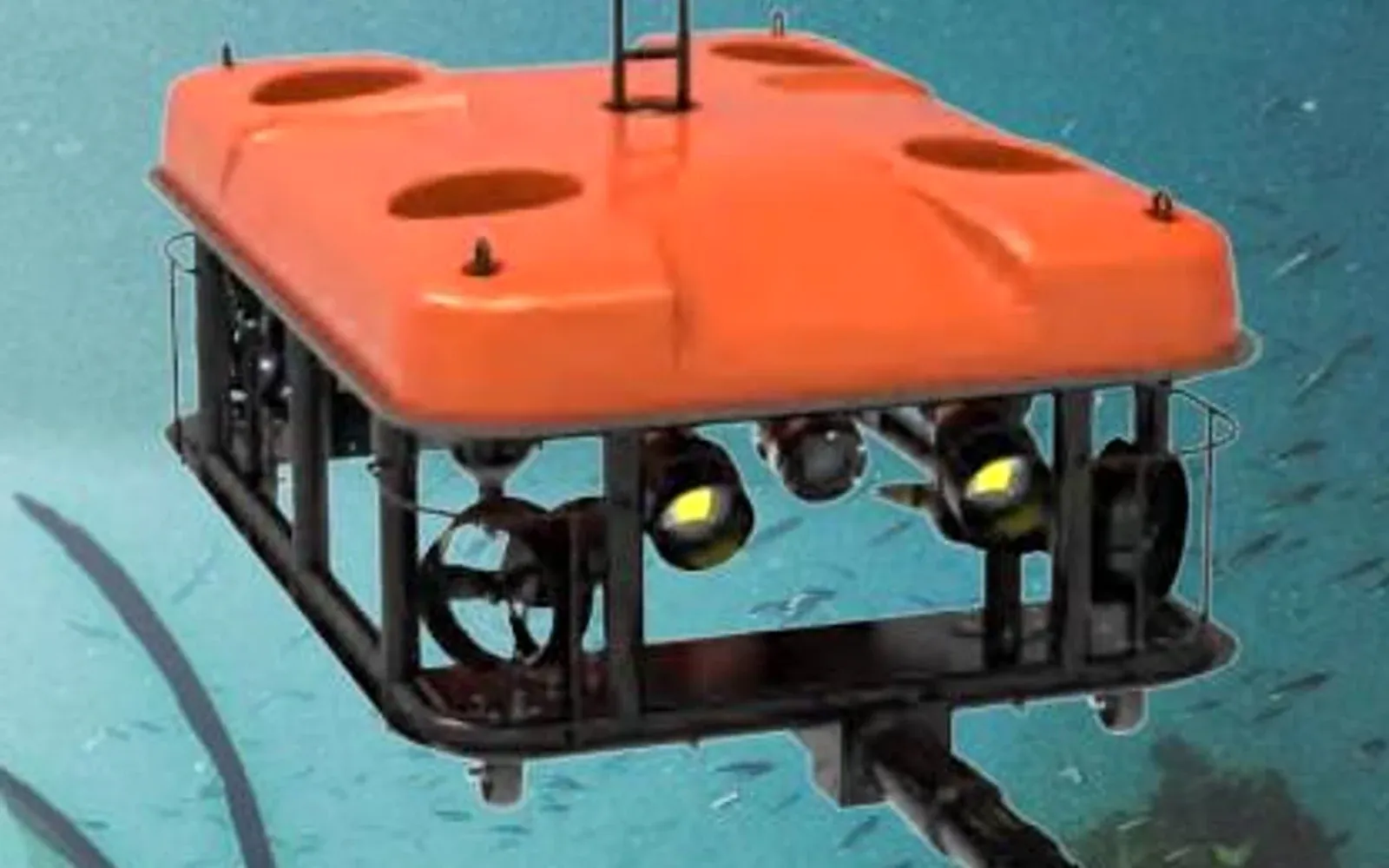
The Q180 is a tracked hull-and-dam cleaning ROV; its role is surface preparation and cleaning workflow, not free-swimming compact inspection. A work-class ROV with the appropriate tool may support ultrasonic thickness or other NDT, but probe contact, coupling, calibration, position and procedure must be qualified.
Keep the original observation, cleaning record and measurement linked. An engineer should be able to see what triggered the NDT and how the surface was prepared.
For vessel-hull work, the underwater hull cleaning ROV guide adds coating constraints, debris capture, local permission and the distinction between system testing and the record of an individual cleaning operation.
5. Conditions and Safety Shape the Method Mix
Visibility, current, tide, vessel traffic, entanglement, overhead work and contaminated water affect whether divers or ROVs can operate safely and produce useful evidence. In the United States, commercial diving work is subject to OSHA commercial diving requirements; other jurisdictions have their own rules.
ROVs can reduce exposure in turbid, deep or trafficked water, but introduce tether, launch, recovery and electrical risks. Divers remain appropriate for tasks requiring tactile work or qualified procedures that the available ROV cannot perform. The inspection plan should assign methods from risk and evidence, not from a goal to remove or maximize diver use.
6. Turn Observations Into Engineering Decisions
Write each finding in two layers. The observation records location, dimensions, appearance, method and confidence. The engineering assessment explains significance, likely mechanism and required action. Keeping them separate allows later reviewers to reinterpret the same evidence.
Use severity and urgency categories defined by the owner and applicable engineering framework. Assign reinspection, immediate control, further NDT, repair design or no action. After repair, close the record only when completion and a new reference condition are documented.
The port and water security solution can share survey assets and site knowledge, but structural condition and security contacts must remain distinct operational records.
7. Risk-Based Intervals and Procurement
Set intervals from consequence, degradation mechanism, exposure, prior condition and uncertainty. Storm, impact, dredging, construction or an alarm can trigger an out-of-cycle campaign. Do not cite a generic age threshold as proof that every older asset requires the same schedule.
Procurement should price mobilization, access, positioning, coverage, cleaning, NDT, raw data, engineering review, defect upload and reinspection separately. Acceptance requires coverage and data-quality reports in addition to the final findings.
If the project scope expands from asset condition into facility protection, the port security system buyer’s guide defines separate air, landside, waterside and underwater security decisions and cross-domain acceptance scenarios.
Use the underwater ROV and sonar portfolio and resource library to prepare the method and evidence matrix. For a lifecycle plan tied to an existing asset register, contact OMNI UXV with the asset groups, conditions and required decisions.
8. FAQs
Who should set the interval for underwater port inspections?
The asset owner should set a risk-based interval using applicable authority, insurer, class, and engineering requirements together with material, age, exposure, consequence, prior defects, storms, impacts, and repair history. A universal one-, three-, or five-year cycle is not appropriate for every asset.
Can an ROV perform ultrasonic thickness measurements on a pile?
It can when the vehicle, manipulator, probe, surface preparation, coupling, position control, and procedure are designed and qualified for the task. Video alone cannot substitute for a calibrated thickness measurement.
Why survey with sonar before sending an ROV to every location?
Wide-area sonar can map geometry, scour, debris, and contacts so the ROV spends time on selected anomalies and close observations. The benefit depends on reliable positioning and a defect register that transfers coordinates between teams.
What makes two port inspection campaigns comparable?
Use the same asset identifiers, coordinate and vertical datums, coverage, sensor settings, observation vocabulary, defect dimensions, image scale, and quality controls. Record environmental differences and any method change before claiming deterioration.